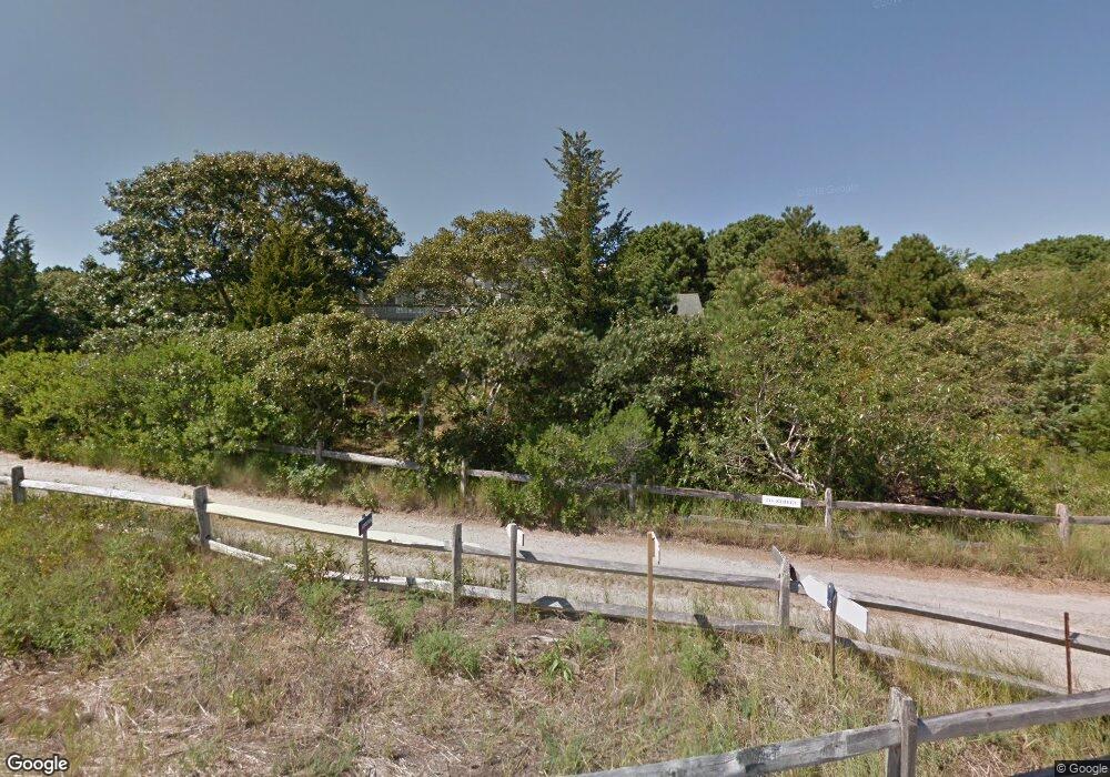
6 5th St Wellfleet, MA 2667
Estimated Value: $1,116,247 - $1,437,000
2
Beds
1
Bath
2,096
Sq Ft
$594/Sq Ft
Est. Value
About This Home
This home is located at 6 5th St, Wellfleet, MA 2667 and is currently estimated at $1,245,062, approximately $594 per square foot. 6 5th St is a home located in Barnstable County with nearby schools including Wellfleet Elementary School, Nauset Regional Middle School, and Nauset Regional High School.
Create a Home Valuation Report for This Property
The Home Valuation Report is an in-depth analysis detailing your home's value as well as a comparison with similar homes in the area
Home Values in the Area
Average Home Value in this Area
Tax History
| Year | Tax Paid | Tax Assessment Tax Assessment Total Assessment is a certain percentage of the fair market value that is determined by local assessors to be the total taxable value of land and additions on the property. | Land | Improvement |
|---|---|---|---|---|
| 2025 | $6,993 | $983,600 | $520,600 | $463,000 |
| 2024 | $6,496 | $951,100 | $495,800 | $455,300 |
| 2023 | $5,958 | $856,000 | $447,700 | $408,300 |
| 2022 | $5,335 | $685,700 | $392,700 | $293,000 |
| 2021 | $0 | $602,600 | $350,600 | $252,000 |
| 2020 | $4,690 | $605,200 | $360,600 | $244,600 |
| 2019 | $4,612 | $596,700 | $360,600 | $236,100 |
| 2018 | $0 | $592,300 | $360,600 | $231,700 |
| 2017 | $0 | $590,500 | $360,600 | $229,900 |
| 2016 | $4,013 | $587,600 | $362,100 | $225,500 |
| 2015 | $4,408 | $650,200 | $426,500 | $223,700 |
Source: Public Records
Map
Nearby Homes
- 344 King Phillip Rd
- 45 Indian Neck Rd
- 345 Cove Rd
- 1937 State Highway Route 6 Unit E
- 1937 State Highway Route 6 Unit E
- 2032 State Hwy Rte 6 Unit F/ (6)
- 95 Old County Rd
- 30 Sam Hollow Rd
- 340 Salt Works Rd
- 46 Spring Brook Rd
- 49 Village Ln
- 175 Delphi Path
- 135 Marven Way
- 115 Wamsutta Rd
- 164 Kendrick Ave Unit C
- 105 Howard Ct
- 100 Gigi Ln
- 35 Holbrook Ave
- 30 Harbor View Cir
- 5470 State Hwy
Your Personal Tour Guide
Ask me questions while you tour the home.