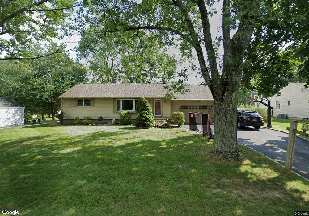
6 Alanon St Whippany, NJ 07981
Estimated Value: $584,686 - $741,000
--
Bed
--
Bath
1,406
Sq Ft
$470/Sq Ft
Est. Value
About This Home
This home is located at 6 Alanon St, Whippany, NJ 07981 and is currently estimated at $660,172, approximately $469 per square foot. 6 Alanon St is a home located in Morris County with nearby schools including Whippany Park High School, Arrow Academy, and The Morristown-Beard School.
Ownership History
Date
Name
Owned For
Owner Type
Purchase Details
Closed on
Dec 14, 2016
Sold by
Markensohn Evan R and Richrards Kim E
Bought by
Markensohn Evan R and Markensohn Kim E
Current Estimated Value
Purchase Details
Closed on
May 11, 2007
Sold by
Neidhardt James J and Neidhardt Lynn M
Bought by
Markensohn Evan R and Richards Kim E
Home Financials for this Owner
Home Financials are based on the most recent Mortgage that was taken out on this home.
Original Mortgage
$76,350
Interest Rate
5.96%
Mortgage Type
Unknown
Create a Home Valuation Report for This Property
The Home Valuation Report is an in-depth analysis detailing your home's value as well as a comparison with similar homes in the area
Home Values in the Area
Average Home Value in this Area
Purchase History
| Date | Buyer | Sale Price | Title Company |
|---|---|---|---|
| Markensohn Evan R | -- | None Available | |
| Markensohn Evan R | $509,000 | None Available |
Source: Public Records
Mortgage History
| Date | Status | Borrower | Loan Amount |
|---|---|---|---|
| Closed | Markensohn Evan R | $76,350 | |
| Open | Markensohn Evan R | $407,200 |
Source: Public Records
Tax History Compared to Growth
Tax History
| Year | Tax Paid | Tax Assessment Tax Assessment Total Assessment is a certain percentage of the fair market value that is determined by local assessors to be the total taxable value of land and additions on the property. | Land | Improvement |
|---|---|---|---|---|
| 2025 | $8,013 | $380,100 | $212,200 | $167,900 |
| 2024 | $7,978 | $380,100 | $212,200 | $167,900 |
| 2023 | $7,978 | $380,100 | $212,200 | $167,900 |
| 2022 | $7,298 | $380,100 | $212,200 | $167,900 |
| 2021 | $7,192 | $380,100 | $212,200 | $167,900 |
| 2020 | $7,169 | $380,100 | $212,200 | $167,900 |
| 2019 | $7,191 | $380,100 | $212,200 | $167,900 |
| 2018 | $7,066 | $380,100 | $212,200 | $167,900 |
| 2017 | $6,857 | $380,100 | $212,200 | $167,900 |
| 2016 | $6,758 | $380,100 | $212,200 | $167,900 |
| 2015 | $6,488 | $380,100 | $212,200 | $167,900 |
| 2014 | $6,348 | $380,100 | $212,200 | $167,900 |
Source: Public Records
Map
Nearby Homes
- 92 Sunrise Dr
- 53 Westminster Dr
- 709 Brook Hollow Dr Unit 709
- 39 Lefke Ln
- 96 Parsippany Rd
- 11 Nemic Ln
- 26 Gladstone Ct
- 42 Gladstone Ct
- 34 Gladstone Ct
- 14 Gladstone Ct
- 45 Polhemus Terrace
- Monterey Plan at The Grove - The Monterey Collection
- Pershing Plan at The Grove - The Pershing Collection
- 91 Rhyan Dr
- 79 Rhyan Dr
- 26 David Dr
- 72 Schindler Ct
- 144 Jillian Blvd
- 89 Schindler Ct
- 2003 Vermont Terrace Unit 2003