6 Apache Way Branchburg, NJ 08876
Estimated Value: $540,181 - $620,000
Studio
--
Bath
1,720
Sq Ft
$343/Sq Ft
Est. Value
About This Home
This home is located at 6 Apache Way, Branchburg, NJ 08876 and is currently estimated at $590,045, approximately $343 per square foot. 6 Apache Way is a home located in Somerset County with nearby schools including Whiton Elementary School, Stony Brook School, and Branchburg Central Middle School.
Ownership History
Date
Name
Owned For
Owner Type
Purchase Details
Closed on
Jun 9, 2010
Sold by
Erickson Lois C
Bought by
Pappas Chris
Current Estimated Value
Home Financials for this Owner
Home Financials are based on the most recent Mortgage that was taken out on this home.
Original Mortgage
$291,000
Outstanding Balance
$195,125
Interest Rate
4.98%
Mortgage Type
New Conventional
Estimated Equity
$394,920
Purchase Details
Closed on
Dec 21, 1989
Sold by
Felicia Corp
Bought by
Erickson Lois C
Create a Home Valuation Report for This Property
The Home Valuation Report is an in-depth analysis detailing your home's value as well as a comparison with similar homes in the area
Home Values in the Area
Average Home Value in this Area
Purchase History
| Date | Buyer | Sale Price | Title Company |
|---|---|---|---|
| Pappas Chris | $336,000 | Chicago Title Insurance Co | |
| Erickson Lois C | $170,600 | -- |
Source: Public Records
Mortgage History
| Date | Status | Borrower | Loan Amount |
|---|---|---|---|
| Open | Pappas Chris | $291,000 |
Source: Public Records
Tax History
| Year | Tax Paid | Tax Assessment Tax Assessment Total Assessment is a certain percentage of the fair market value that is determined by local assessors to be the total taxable value of land and additions on the property. | Land | Improvement |
|---|---|---|---|---|
| 2025 | $7,443 | $449,700 | $113,200 | $336,500 |
| 2024 | $7,443 | $412,600 | $113,200 | $299,400 |
| 2023 | $7,143 | $381,800 | $113,200 | $268,600 |
| 2022 | $7,025 | $356,800 | $113,200 | $243,600 |
| 2021 | $7,035 | $332,800 | $113,200 | $219,600 |
| 2020 | $6,933 | $323,500 | $113,200 | $210,300 |
| 2019 | $6,954 | $322,700 | $113,200 | $209,500 |
| 2018 | $6,926 | $320,500 | $108,200 | $212,300 |
| 2017 | $6,867 | $315,600 | $104,200 | $211,400 |
| 2016 | $6,820 | $311,400 | $97,200 | $214,200 |
| 2015 | $6,661 | $304,700 | $97,200 | $207,500 |
| 2014 | $6,474 | $299,700 | $92,200 | $207,500 |
Source: Public Records
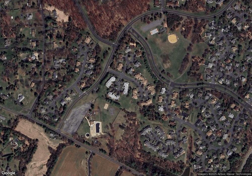
Map
Nearby Homes
- 10 Apache Way
- 23 Buffalo Hollow Rd
- 5 Choctaw Ridge Rd
- 91 Delaware Ln
- 18 Laurel Ct
- 639 Magnolia Ln Unit E1
- 530 Azalea Terrace
- 428 Azalea Terrace
- 512 Azalea Ter Ondo
- 1418 Magnolia Ln Ondo
- 166 Preakness Cir
- 110 Arbor Way
- 30 Cascades Terrace
- 4 Hickory Ln
- 59 Station Rd
- 1515 Longley Ct
- 3366 Us Highway 22
- 303 Saratoga Ct
- 63 Huyler Rd
- 116 Readington Rd
Your Personal Tour Guide
Ask me questions while you tour the home.