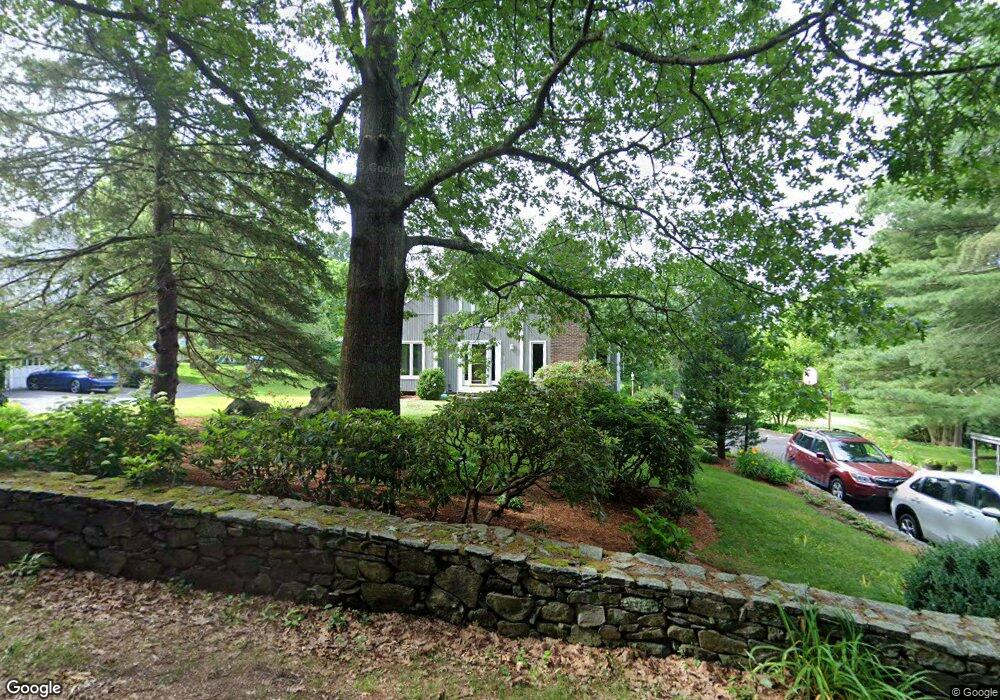
6 Apple Ridge Ln North Grafton, MA 01536
Estimated Value: $603,000 - $675,000
3
Beds
2
Baths
1,672
Sq Ft
$384/Sq Ft
Est. Value
About This Home
This home is located at 6 Apple Ridge Ln, North Grafton, MA 01536 and is currently estimated at $641,871, approximately $383 per square foot. 6 Apple Ridge Ln is a home located in Worcester County with nearby schools including Grafton High School, Silver Spruce Montessori School, and Al-Hamra Academy.
Ownership History
Date
Name
Owned For
Owner Type
Purchase Details
Closed on
Aug 27, 2019
Sold by
Duncan Robert R and Duncan Joann A
Bought by
Jorob T T and Jorob Duncan
Current Estimated Value
Purchase Details
Closed on
Jul 30, 1999
Sold by
Vaskas Paul D and Vaskas Lynn D
Bought by
Ducan Robert R and Duncan Joann A
Home Financials for this Owner
Home Financials are based on the most recent Mortgage that was taken out on this home.
Original Mortgage
$100,000
Interest Rate
7.61%
Mortgage Type
Purchase Money Mortgage
Purchase Details
Closed on
Sep 26, 1988
Sold by
Knapic Nancy K
Bought by
Vaskas Paul D
Create a Home Valuation Report for This Property
The Home Valuation Report is an in-depth analysis detailing your home's value as well as a comparison with similar homes in the area
Home Values in the Area
Average Home Value in this Area
Purchase History
| Date | Buyer | Sale Price | Title Company |
|---|---|---|---|
| Jorob T T | -- | -- | |
| Jorob T | -- | -- | |
| Jorob T T | -- | -- | |
| Ducan Robert R | $219,900 | -- | |
| Ducan Robert R | $219,900 | -- | |
| Vaskas Paul D | $186,000 | -- |
Source: Public Records
Mortgage History
| Date | Status | Borrower | Loan Amount |
|---|---|---|---|
| Previous Owner | Vaskas Paul D | $100,000 | |
| Previous Owner | Vaskas Paul D | $155,600 | |
| Previous Owner | Vaskas Paul D | $157,000 |
Source: Public Records
Tax History Compared to Growth
Tax History
| Year | Tax Paid | Tax Assessment Tax Assessment Total Assessment is a certain percentage of the fair market value that is determined by local assessors to be the total taxable value of land and additions on the property. | Land | Improvement |
|---|---|---|---|---|
| 2025 | $7,231 | $518,700 | $194,300 | $324,400 |
| 2024 | $7,072 | $494,200 | $185,100 | $309,100 |
| 2023 | $6,727 | $428,200 | $185,100 | $243,100 |
| 2022 | $6,300 | $373,200 | $158,900 | $214,300 |
| 2021 | $6,077 | $353,700 | $144,500 | $209,200 |
| 2020 | $5,798 | $351,400 | $144,500 | $206,900 |
| 2019 | $5,623 | $337,500 | $134,000 | $203,500 |
| 2018 | $5,692 | $343,100 | $133,200 | $209,900 |
| 2017 | $5,469 | $333,500 | $125,500 | $208,000 |
| 2016 | $4,883 | $291,500 | $101,900 | $189,600 |
| 2015 | $4,932 | $298,900 | $118,600 | $180,300 |
| 2014 | $4,561 | $298,900 | $118,600 | $180,300 |
Source: Public Records
Map
Nearby Homes
- 4 Winslow Ln Unit 1410
- 0 East St
- 2 Winslow Ln Unit 2302
- 2 Winslow Ln Unit 406
- Ivywood Plan at Winslow Point - The Building 1 Series
- Hayden Plan at Winslow Point - The Building 1 Series
- 150 North St
- 3 Abby Rd
- 15 Windle Ave
- 17 Hingham Rd
- 61 Wesson St
- 11 Hovey Pond Dr Unit 11
- 7 Hovey Pond Dr Unit 7
- 44 Meadow Ln
- 14 Northgate Ct Unit 14
- 22 Beverly Rd
- 3 Thistle Hill Dr
- 34 Clews St
- 18 Clearview St
- 16 Clearview St