6 Aunt Pattys Ln W Bethel, CT 06801
Estimated Value: $587,000 - $664,000
4
Beds
2
Baths
2,156
Sq Ft
$292/Sq Ft
Est. Value
About This Home
This home is located at 6 Aunt Pattys Ln W, Bethel, CT 06801 and is currently estimated at $629,219, approximately $291 per square foot. 6 Aunt Pattys Ln W is a home located in Fairfield County with nearby schools including R.M.T. Johnson School, Bethel Middle School, and Bethel High School.
Ownership History
Date
Name
Owned For
Owner Type
Purchase Details
Closed on
Aug 27, 1976
Bought by
Goodrich Don H and Goodrich Eileen F
Current Estimated Value
Create a Home Valuation Report for This Property
The Home Valuation Report is an in-depth analysis detailing your home's value as well as a comparison with similar homes in the area
Home Values in the Area
Average Home Value in this Area
Purchase History
| Date | Buyer | Sale Price | Title Company |
|---|---|---|---|
| Goodrich Don H | $19,500 | -- |
Source: Public Records
Mortgage History
| Date | Status | Borrower | Loan Amount |
|---|---|---|---|
| Closed | Goodrich Don H | $138,000 | |
| Closed | Goodrich Don H | $135,000 | |
| Closed | Goodrich Don H | $120,000 | |
| Closed | Goodrich Don H | $96,800 |
Source: Public Records
Tax History Compared to Growth
Tax History
| Year | Tax Paid | Tax Assessment Tax Assessment Total Assessment is a certain percentage of the fair market value that is determined by local assessors to be the total taxable value of land and additions on the property. | Land | Improvement |
|---|---|---|---|---|
| 2025 | $9,428 | $310,030 | $120,610 | $189,420 |
| 2024 | $9,044 | $310,030 | $120,610 | $189,420 |
| 2023 | $8,814 | $310,030 | $120,610 | $189,420 |
| 2022 | $8,574 | $247,870 | $120,610 | $127,260 |
| 2021 | $8,492 | $247,870 | $120,610 | $127,260 |
| 2020 | $8,363 | $247,870 | $120,610 | $127,260 |
| 2019 | $8,281 | $247,870 | $120,610 | $127,260 |
| 2018 | $8,147 | $247,870 | $120,610 | $127,260 |
| 2017 | $8,397 | $255,390 | $127,150 | $128,240 |
| 2016 | $8,216 | $255,390 | $127,150 | $128,240 |
| 2015 | $8,218 | $255,390 | $127,150 | $128,240 |
| 2014 | $8,201 | $255,390 | $127,150 | $128,240 |
Source: Public Records
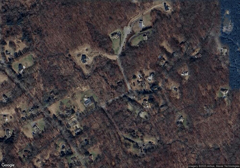
Map
Nearby Homes
- 11 Marywood Rd
- 38 Aunt Pattys Ln W
- 6 Katrina Cir
- 4 Stone Dam Rd
- 66 Putnam Park Rd
- 25 Wolfpits Rd
- 62 Codfish Hill Rd
- 10 Buckboard Ridge
- 6 Windaway Rd
- 4 Winthrop Rd
- 173 Chestnut Ridge Rd
- 2 Honey Hollow Dr
- 12 Canaan Dr
- 193 Chestnut Ridge Rd
- 113 Codfish Hill Rd
- 2 Judd Ave
- 95 Chestnut St Unit D
- 27 Long Meadow Ln
- 48 & 50 Nashville Rd
- 4 Bailey Blvd Unit 4
- 4 Aunt Pattys Ln W
- 10 Aunt Pattys Ln W
- 7 Aunt Pattys Ln W
- 4 Jennifers Way
- 12 Aunt Pattys Ln W
- 6 Jennifers Way
- 9 Aunt Pattys Ln W
- 11 Sunset Hill Rd
- 15 Sunset Hill Rd
- 13 Sunset Hill Rd
- 1 Jennifers Way
- 7 Sunset Hill Rd
- 14 Aunt Pattys Ln W
- 11 Aunt Pattys Ln W
- 17 Sunset Hill Rd
- 15 Aunt Pattys Ln W
- 5 Aunt Pattys Ln W
- 16 Aunt Pattys Ln W
- 3 Jennifers Way
- 1 Marywood Rd