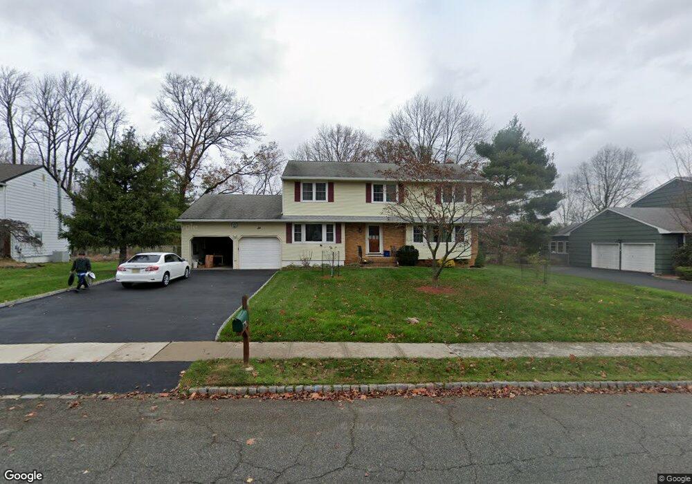
6 Barbara St Parsippany, NJ 07054
Estimated Value: $814,159 - $880,000
--
Bed
--
Bath
2,710
Sq Ft
$309/Sq Ft
Est. Value
About This Home
This home is located at 6 Barbara St, Parsippany, NJ 07054 and is currently estimated at $838,290, approximately $309 per square foot. 6 Barbara St is a home located in Morris County with nearby schools including Troy Hills School, Central Middle School, and Parsippany High School.
Ownership History
Date
Name
Owned For
Owner Type
Purchase Details
Closed on
Jul 16, 1997
Sold by
Vinci Frances and Russo Maria Mary
Bought by
Hum Simon and Hum Melissa
Current Estimated Value
Home Financials for this Owner
Home Financials are based on the most recent Mortgage that was taken out on this home.
Original Mortgage
$180,000
Interest Rate
7.34%
Create a Home Valuation Report for This Property
The Home Valuation Report is an in-depth analysis detailing your home's value as well as a comparison with similar homes in the area
Home Values in the Area
Average Home Value in this Area
Purchase History
| Date | Buyer | Sale Price | Title Company |
|---|---|---|---|
| Hum Simon | $268,888 | Colonial Title & Abstract |
Source: Public Records
Mortgage History
| Date | Status | Borrower | Loan Amount |
|---|---|---|---|
| Closed | Hum Simon | $180,000 |
Source: Public Records
Tax History Compared to Growth
Tax History
| Year | Tax Paid | Tax Assessment Tax Assessment Total Assessment is a certain percentage of the fair market value that is determined by local assessors to be the total taxable value of land and additions on the property. | Land | Improvement |
|---|---|---|---|---|
| 2025 | $15,275 | $433,200 | $223,200 | $210,000 |
| 2024 | $14,989 | $433,200 | $223,200 | $210,000 |
| 2023 | $14,989 | $433,200 | $223,200 | $210,000 |
| 2022 | $13,984 | $433,200 | $223,200 | $210,000 |
| 2021 | $13,984 | $433,200 | $223,200 | $210,000 |
| 2020 | $13,685 | $433,200 | $223,200 | $210,000 |
| 2019 | $13,304 | $433,200 | $223,200 | $210,000 |
| 2018 | $13,009 | $433,200 | $223,200 | $210,000 |
| 2017 | $12,701 | $433,200 | $223,200 | $210,000 |
| 2016 | $12,472 | $433,200 | $223,200 | $210,000 |
| 2015 | $12,156 | $433,200 | $223,200 | $210,000 |
| 2014 | $11,987 | $433,200 | $223,200 | $210,000 |
Source: Public Records
Map
Nearby Homes