Estimated Value: $917,000 - $1,104,232
2
Beds
2
Baths
3,221
Sq Ft
$317/Sq Ft
Est. Value
About This Home
This home is located at 6 Barbaras Path, Upton, MA 01568 and is currently estimated at $1,019,558, approximately $316 per square foot. 6 Barbaras Path is a home with nearby schools including Nipmuc Regional High School.
Ownership History
Date
Name
Owned For
Owner Type
Purchase Details
Closed on
Jan 31, 2024
Sold by
Saeger Nt and Saeger
Bought by
Debbie C Saeger Ret and Saeger
Current Estimated Value
Purchase Details
Closed on
Dec 13, 2023
Sold by
Saeger Timothy W and Saeger Debbie C
Bought by
Saeger Nt and Saeger
Purchase Details
Closed on
Jan 27, 2009
Sold by
Henderson Cecelia E and Henderson Robert D
Bought by
Henderson Cecelia E
Purchase Details
Closed on
Jan 13, 2005
Sold by
River Bend Ests Inc
Bought by
Henderson Cecelia E and Henderson Robert D
Create a Home Valuation Report for This Property
The Home Valuation Report is an in-depth analysis detailing your home's value as well as a comparison with similar homes in the area
Home Values in the Area
Average Home Value in this Area
Purchase History
| Date | Buyer | Sale Price | Title Company |
|---|---|---|---|
| Debbie C Saeger Ret | -- | None Available | |
| Saeger Nt | -- | None Available | |
| Henderson Cecelia E | -- | -- | |
| Henderson Cecelia E | -- | -- |
Source: Public Records
Tax History
| Year | Tax Paid | Tax Assessment Tax Assessment Total Assessment is a certain percentage of the fair market value that is determined by local assessors to be the total taxable value of land and additions on the property. | Land | Improvement |
|---|---|---|---|---|
| 2025 | $14,401 | $1,095,100 | $338,000 | $757,100 |
| 2024 | $14,293 | $1,044,800 | $311,400 | $733,400 |
| 2023 | $9,093 | $655,600 | $211,800 | $443,800 |
| 2022 | $10,947 | $652,800 | $211,800 | $441,000 |
| 2021 | $10,347 | $623,300 | $236,900 | $386,400 |
| 2020 | $10,738 | $623,600 | $223,200 | $400,400 |
| 2019 | $10,943 | $632,200 | $214,100 | $418,100 |
| 2018 | $11,601 | $673,300 | $233,900 | $439,400 |
| 2017 | $11,646 | $641,300 | $233,900 | $407,400 |
| 2016 | $9,805 | $528,300 | $182,200 | $346,100 |
| 2015 | $4,037 | $238,200 | $189,800 | $48,400 |
| 2014 | $3,358 | $198,100 | $198,100 | $0 |
Source: Public Records
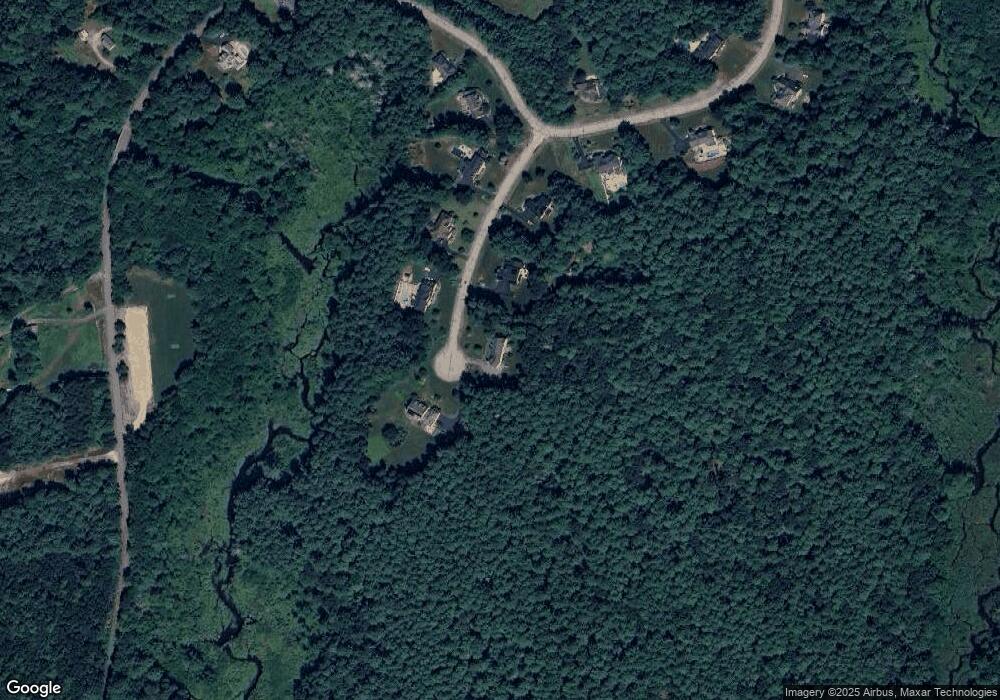
Map
Nearby Homes
- 99 W River St
- Lot 16 Monica Way
- Lot 24 Monica Way
- Lot 23 Monica Way
- 7 Sawmill Brook Ln
- 6 Sawmill Brook Ln
- 12 Valerie Run
- 1 Knowlton Cir Unit 1
- 19 Monica Way
- 51 Knowlton Cir Unit 51
- 1825 Quaker St
- 13 Valerie Run
- 72 Main St
- 13 Plain St
- 103 Prairie St
- 0 Puddon St
- 185 Prairie St
- 255 Prairie St
- 597 Mendon Rd
- 3 Moon Hill Rd
- 4 Barbaras Path
- 5 Barbaras Path
- 7 Barbaras Path
- 3 Barbaras Path
- 3 Barbara's Path
- 2 Barbaras Path
- 1 Barbaras Path
- 16 River Bend Rd
- 18 River Bend Rd
- 9 River Bend Rd
- 20 River Bend Rd
- 20 Riverbend Rd
- 14 Riverbend Rd
- 14 River Bend Rd
- 80 W River St
- 12 River Bend Rd
- 82 W River St
- 3 River Bend Rd
- 5 River Bend Rd
- 57 W River St
Your Personal Tour Guide
Ask me questions while you tour the home.