6 Beachside Dr Unit 6-3 Isle of Palms, SC 29451
Estimated Value: $1,658,413 - $2,067,000
3
Beds
2
Baths
1,404
Sq Ft
$1,319/Sq Ft
Est. Value
About This Home
This home is located at 6 Beachside Dr Unit 6-3, Isle of Palms, SC 29451 and is currently estimated at $1,851,353, approximately $1,318 per square foot. 6 Beachside Dr Unit 6-3 is a home located in Charleston County with nearby schools including Sullivans Island Elementary School, Moultrie Middle School, and Wando High School.
Ownership History
Date
Name
Owned For
Owner Type
Purchase Details
Closed on
Jul 18, 2022
Sold by
6 Sandshell Court Partnership
Bought by
6 Sandshell Court Llc
Current Estimated Value
Purchase Details
Closed on
Jan 17, 2020
Sold by
Gantt Linda Woods Erickson and Estate Of William A Gantt
Bought by
6 Beachside Partnership
Purchase Details
Closed on
Nov 28, 2000
Sold by
Dean Russell C and Dean Debra R
Bought by
Gantt William A
Create a Home Valuation Report for This Property
The Home Valuation Report is an in-depth analysis detailing your home's value as well as a comparison with similar homes in the area
Home Values in the Area
Average Home Value in this Area
Purchase History
| Date | Buyer | Sale Price | Title Company |
|---|---|---|---|
| 6 Sandshell Court Llc | -- | None Listed On Document | |
| 6 Beachside Partnership | -- | None Available | |
| Gantt William A | $475,000 | -- |
Source: Public Records
Tax History Compared to Growth
Tax History
| Year | Tax Paid | Tax Assessment Tax Assessment Total Assessment is a certain percentage of the fair market value that is determined by local assessors to be the total taxable value of land and additions on the property. | Land | Improvement |
|---|---|---|---|---|
| 2024 | $11,537 | $44,850 | $0 | $0 |
| 2023 | $10,437 | $44,850 | $0 | $0 |
| 2022 | $9,817 | $44,850 | $0 | $0 |
| 2021 | $9,706 | $44,850 | $0 | $0 |
| 2020 | $9,575 | $44,850 | $0 | $0 |
| 2019 | $8,785 | $39,000 | $0 | $0 |
| 2017 | $8,390 | $39,000 | $0 | $0 |
| 2016 | $8,056 | $39,000 | $0 | $0 |
| 2015 | $7,670 | $39,000 | $0 | $0 |
| 2014 | $6,974 | $0 | $0 | $0 |
| 2011 | -- | $0 | $0 | $0 |
Source: Public Records
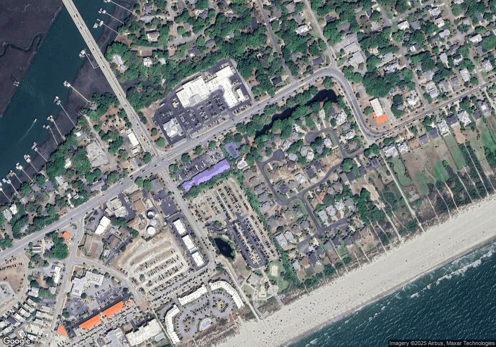
Map
Nearby Homes
- 11 Ocean Park Ct
- 1400 Ocean Blvd Unit 308 B
- 6 Ocean Park Ct
- 1300 Ocean Blvd Unit 241
- 1300 Ocean Blvd Unit 114
- 1300 Ocean Blvd Unit 145
- 1300 Ocean Blvd Unit 240
- 1140 Ocean Blvd Unit 308
- 1203/Lot 2 Oak Harbor Blvd
- 2201 Palm Blvd
- 23 22nd Ave
- 16 22nd Ave
- 1004 Ocean Blvd Unit 108
- 2306 Hartnett Blvd
- 913 Carolina Blvd
- 23 24th Ave
- 2407 Cameron Blvd
- 2407 Cameron Blvd Unit A & B
- 814 Palm Blvd
- 1103 Palm Blvd
- 6 Beachside Dr
- 6 Beachside Dr Unit 6-11
- 6 Beachside Dr Unit 6-10
- 6 Beachside Dr Unit 6-12
- 6 Beachside Dr Unit 6-9
- 6 Beachside Dr Unit 6-13
- 8 Beachside Dr
- 10 Beachside Dr
- 1 Sandshell Ct
- 8 Sandshell Ct
- 12 Beachside Dr
- 7 Sandshell Ct
- 2 Sandshell Ct
- 14 Beachside Dr
- 21 Beachside Dr
- 6 Sandshell Ct
- 6 Sandshell Ct Unit 1
- 6 Sandshell Ct Unit 7
- 6 Sandshell Ct Unit 12
- 6 Sandshell Ct Unit 10