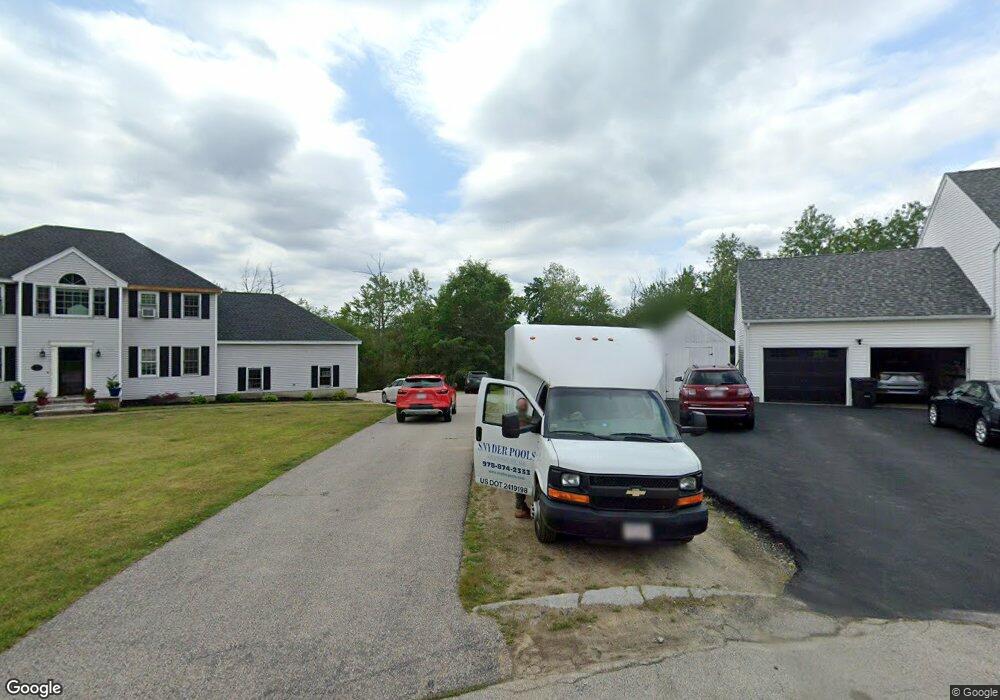
6 Bill Graham Ln Millbury, MA 01527
Estimated Value: $693,000 - $770,000
4
Beds
3
Baths
3,336
Sq Ft
$217/Sq Ft
Est. Value
About This Home
This home is located at 6 Bill Graham Ln, Millbury, MA 01527 and is currently estimated at $725,364, approximately $217 per square foot. 6 Bill Graham Ln is a home located in Worcester County with nearby schools including Elmwood Street Elementary School, Raymond E. Shaw Elementary School, and Millbury Junior/Senior High School.
Ownership History
Date
Name
Owned For
Owner Type
Purchase Details
Closed on
Mar 5, 2021
Sold by
Schold Christine
Bought by
Gasco Brittany and Gasco Keith
Current Estimated Value
Home Financials for this Owner
Home Financials are based on the most recent Mortgage that was taken out on this home.
Original Mortgage
$410,000
Outstanding Balance
$367,536
Interest Rate
2.7%
Mortgage Type
Purchase Money Mortgage
Estimated Equity
$357,828
Purchase Details
Closed on
Sep 13, 2016
Sold by
Schold Christine and Schold Michael
Bought by
Schold Chrstine
Purchase Details
Closed on
Aug 15, 2000
Sold by
Rollie Shepard Rt
Bought by
Schold Michael and Schold Christine
Home Financials for this Owner
Home Financials are based on the most recent Mortgage that was taken out on this home.
Original Mortgage
$211,900
Interest Rate
8.21%
Mortgage Type
Purchase Money Mortgage
Create a Home Valuation Report for This Property
The Home Valuation Report is an in-depth analysis detailing your home's value as well as a comparison with similar homes in the area
Home Values in the Area
Average Home Value in this Area
Purchase History
| Date | Buyer | Sale Price | Title Company |
|---|---|---|---|
| Gasco Brittany | $495,000 | None Available | |
| Schold Chrstine | -- | -- | |
| Schold Michael | $349,382 | -- |
Source: Public Records
Mortgage History
| Date | Status | Borrower | Loan Amount |
|---|---|---|---|
| Open | Gasco Brittany | $410,000 | |
| Previous Owner | Schold Michael | $139,100 | |
| Previous Owner | Schold Michael | $213,500 | |
| Previous Owner | Schold Michael | $211,900 |
Source: Public Records
Tax History Compared to Growth
Tax History
| Year | Tax Paid | Tax Assessment Tax Assessment Total Assessment is a certain percentage of the fair market value that is determined by local assessors to be the total taxable value of land and additions on the property. | Land | Improvement |
|---|---|---|---|---|
| 2025 | $8,420 | $628,800 | $155,300 | $473,500 |
| 2024 | $7,681 | $580,600 | $145,200 | $435,400 |
| 2023 | $6,994 | $484,000 | $107,400 | $376,600 |
| 2022 | $6,345 | $423,000 | $107,400 | $315,600 |
| 2021 | $6,269 | $406,300 | $107,400 | $298,900 |
| 2020 | $6,144 | $400,800 | $107,400 | $293,400 |
| 2019 | $6,172 | $389,400 | $106,900 | $282,500 |
| 2018 | $6,134 | $375,400 | $106,900 | $268,500 |
| 2017 | $5,795 | $352,700 | $110,800 | $241,900 |
| 2016 | $5,835 | $354,500 | $110,800 | $243,700 |
| 2015 | $5,738 | $348,600 | $116,500 | $232,100 |
| 2014 | $5,421 | $317,000 | $119,800 | $197,200 |
Source: Public Records
Map
Nearby Homes
- 90 Macarthur Dr
- 3 May St
- 86 Wheelock Ave
- 2 Diane St
- 12 Irene Ct
- 11 Westview Ave
- 46 John Dr Unit 46
- 1 Pineland Ave
- 5 Edward Dr
- 1 Broadmeadow Ave
- 21 Lordvale Blvd Unit 406
- 28 Lincoln Ln
- 5 Lincoln Ln Unit 5
- 12 Alstead Path
- 76 Samuel Dr
- 11 Maplewood Rd
- 27 A-B Grafton St
- 330 Millbury Ave
- 123 Riverlin St
- 15 Rayburn Dr
- 4 Bill Graham Ln
- 8 Bill Graham Ln
- 7 Bill Graham Ln
- 5 Bill Graham Ln
- 10 Bill Graham Ln
- 15 Rollie Shepard Dr
- 2 Bill Graham Ln
- 3 Bill Graham Ln
- 13 Rollie Shepard Dr
- 17 Rollie Shepard Dr
- 1 Bill Graham Ln
- 19 Rollie Shepard Dr
- 11 Rollie Shepard Dr
- 16 Rollie Shepard Dr
- 18 Rollie Shepard Dr
- 14 Rollie Shepard Dr
- 21 Rollie Shepard Dr
- 12 Rollie Shepard Dr
- 20 Rollie Shepard Dr
- 9 Rollie Shepard Dr