6 Black Mink Ln Hilton Head Island, SC 29926
Moss Creek NeighborhoodEstimated Value: $890,152 - $998,000
3
Beds
3
Baths
2,861
Sq Ft
$337/Sq Ft
Est. Value
About This Home
This home is located at 6 Black Mink Ln, Hilton Head Island, SC 29926 and is currently estimated at $965,288, approximately $337 per square foot. 6 Black Mink Ln is a home located in Beaufort County with nearby schools including Hilton Head Island Early Childhood Center, Hilton Head Island Elementary School, and Hilton Head Island Middle School.
Ownership History
Date
Name
Owned For
Owner Type
Purchase Details
Closed on
May 9, 2022
Sold by
Althans Ii Arthur J
Bought by
Sciulli Robert Louis and Sciulli Lauren Michelle
Current Estimated Value
Purchase Details
Closed on
Jun 10, 2016
Sold by
Althans Marilyn C
Bought by
Althans Ii Arthur J and Althans Marilyn C
Purchase Details
Closed on
Sep 22, 2010
Sold by
Althans Marilyn C
Bought by
Althans Marilyn C
Purchase Details
Closed on
May 31, 2007
Sold by
Payne John P and Payne Linda
Bought by
Althans Marilyn C
Create a Home Valuation Report for This Property
The Home Valuation Report is an in-depth analysis detailing your home's value as well as a comparison with similar homes in the area
Home Values in the Area
Average Home Value in this Area
Purchase History
| Date | Buyer | Sale Price | Title Company |
|---|---|---|---|
| Sciulli Robert Louis | $825,000 | None Listed On Document | |
| Althans Ii Arthur J | -- | None Available | |
| Althans Marilyn C | -- | -- | |
| Althans Marilyn C | $640,000 | None Available |
Source: Public Records
Tax History Compared to Growth
Tax History
| Year | Tax Paid | Tax Assessment Tax Assessment Total Assessment is a certain percentage of the fair market value that is determined by local assessors to be the total taxable value of land and additions on the property. | Land | Improvement |
|---|---|---|---|---|
| 2024 | $3,992 | $31,664 | $11,000 | $20,664 |
| 2023 | $3,992 | $31,664 | $11,000 | $20,664 |
| 2022 | $2,517 | $19,336 | $4,400 | $14,936 |
| 2021 | $4,615 | $19,336 | $4,400 | $14,936 |
| 2020 | $2,480 | $19,336 | $4,400 | $14,936 |
| 2019 | $2,415 | $19,336 | $4,400 | $14,936 |
| 2018 | $2,350 | $18,580 | $0 | $0 |
| 2017 | $2,169 | $16,960 | $0 | $0 |
| 2016 | $1,896 | $16,960 | $0 | $0 |
| 2014 | $2,292 | $16,960 | $0 | $0 |
Source: Public Records
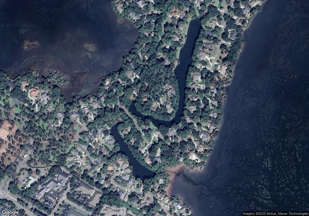
Map
Nearby Homes
- 80 Peninsula Dr
- 69 Peninsula Dr
- 49 Royal Pointe Dr
- 56 Royal Pointe Dr
- 68 Royal Pointe Dr
- 1544 Fording Island Rd
- 53 Salt Marsh Dr Unit 53
- 1504 Fording Island Rd Unit B
- 22 Stable Gate Rd
- 23 Old South Ct Unit C
- 23 Old South Ct Unit 23C
- 32 Old Ct S Unit 32G
- 30 Old Ct S Unit 30B
- 22 Old Ct S Unit 22F
- 22 Old Ct S Unit 22E
- 26 Old Ct S Unit 26E
- 26 Old Ct S Unit 26F
- 3 Wax Myrtle Ct
- 10 Wax Myrtle Ct
- 2 Old Ct S Unit 2D
- 4 Black Mink Ln
- 8 Black Mink Ln
- 94 Peninsula Dr
- 2 Black Mink Ln
- 5 Black Mink Ln
- 88 Peninsula Dr
- 3 Black Mink Ln
- 84 Peninsula Dr
- 18 Peninsula Dr
- 97 Peninsula Dr
- 78 Peninsula Dr
- 76 Peninsula Dr
- 95 Peninsula Dr
- 74 Peninsula Dr
- 93 Peninsula Dr
- 72 Peninsula Dr
- 17 Peninsula Dr
- 15 Peninsula Dr
- 13 Peninsula Dr
- 91 Peninsula Dr