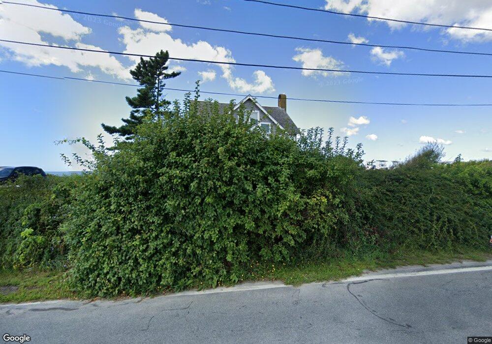
6 Bluff Head Ave Little Compton, RI 02837
Estimated Value: $830,000 - $4,302,000
3
Beds
3
Baths
1,404
Sq Ft
$1,871/Sq Ft
Est. Value
About This Home
This home is located at 6 Bluff Head Ave, Little Compton, RI 02837 and is currently estimated at $2,626,457, approximately $1,870 per square foot. 6 Bluff Head Ave is a home located in Newport County with nearby schools including Wilbur & McMahon School.
Ownership History
Date
Name
Owned For
Owner Type
Purchase Details
Closed on
Jul 15, 2020
Sold by
Marvell Philemon T
Bought by
6 Bluff Head Ave Llc
Current Estimated Value
Home Financials for this Owner
Home Financials are based on the most recent Mortgage that was taken out on this home.
Original Mortgage
$1,780,000
Outstanding Balance
$1,557,109
Interest Rate
3.1%
Mortgage Type
New Conventional
Estimated Equity
$1,069,348
Purchase Details
Closed on
Dec 21, 2011
Sold by
Bluff Head Assoc
Bought by
Marvell Philemon T
Create a Home Valuation Report for This Property
The Home Valuation Report is an in-depth analysis detailing your home's value as well as a comparison with similar homes in the area
Home Values in the Area
Average Home Value in this Area
Purchase History
| Date | Buyer | Sale Price | Title Company |
|---|---|---|---|
| 6 Bluff Head Ave Llc | -- | None Available | |
| 6 Bluff Head Ave Llc | -- | None Available | |
| Marvell Philemon T | $830,000 | -- |
Source: Public Records
Mortgage History
| Date | Status | Borrower | Loan Amount |
|---|---|---|---|
| Open | 6 Bluff Head Ave Llc | $1,780,000 | |
| Closed | 6 Bluff Head Ave Llc | $1,780,000 |
Source: Public Records
Tax History
| Year | Tax Paid | Tax Assessment Tax Assessment Total Assessment is a certain percentage of the fair market value that is determined by local assessors to be the total taxable value of land and additions on the property. | Land | Improvement |
|---|---|---|---|---|
| 2025 | $16,034 | $3,347,400 | $3,054,700 | $292,700 |
| 2024 | $14,347 | $2,824,300 | $2,656,700 | $167,600 |
| 2023 | $14,009 | $2,824,300 | $2,656,700 | $167,600 |
| 2022 | $13,839 | $2,824,300 | $2,656,700 | $167,600 |
| 2021 | $14,672 | $2,429,200 | $2,233,200 | $196,000 |
| 2020 | $16,238 | $2,710,900 | $2,512,400 | $198,500 |
| 2019 | $16,076 | $2,710,900 | $2,512,400 | $198,500 |
| 2018 | $9,860 | $1,654,300 | $1,463,100 | $191,200 |
| 2016 | $9,380 | $1,654,300 | $1,463,100 | $191,200 |
| 2015 | $8,340 | $1,450,500 | $1,219,400 | $231,100 |
| 2014 | $8,181 | $1,450,500 | $1,219,400 | $231,100 |
Source: Public Records
Map
Nearby Homes
- 38 Old Bull Ln
- 141 S Of Commons Rd
- 441 W Main Rd
- 1 Butts Rock Rd
- 30 Indian Rd
- 89 S Shore Rd
- 128 Maple Ave
- 515 Indian Ave
- 138 Willow Ave
- 100 Summerfield Ln
- 141 Gray Craig Rd
- 4 James St
- 11 Odonnell Rd
- 0 Willow Ave
- 140 Tuckerman Ave
- 225 Old Mill Ln
- 0 Indian Ave
- 17 Ferolbink Way
- 0 Allston Ave
- 155 W Main Rd
- 10 Bluff Head Ave Unit NORTH
- 9 Bluff Head Ave
- 7 Bluff Head Ave
- 1 Rhode Island Rd
- 3 Maryland Rd
- 12 Maryland Rd
- 8 Maryland Rd
- 7 Rhode Island Rd
- 14 Maryland Rd
- 11 Rhode Island Rd
- 18 Rhode Island Rd
- 16 Maryland Rd
- 17 Rhode Island Rd
- 10 Ohio Rd
- 21 Rhode Island Rd
- 1 Ohio Rd
- 14 Washington Rd
- 5 Ohio Rd
- 23 Pennsylvania Rd
- 16 Washington Rd
Your Personal Tour Guide
Ask me questions while you tour the home.