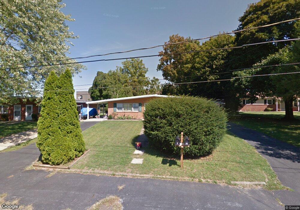
6 Boeing Rd New Cumberland, PA 17070
Estimated Value: $187,000 - $320,000
4
Beds
2
Baths
1,764
Sq Ft
$133/Sq Ft
Est. Value
About This Home
This home is located at 6 Boeing Rd, New Cumberland, PA 17070 and is currently estimated at $234,195, approximately $132 per square foot. 6 Boeing Rd is a home located in York County with nearby schools including Fairview Elementary School, New Cumberland Middle School, and Cedar Cliff High School.
Ownership History
Date
Name
Owned For
Owner Type
Purchase Details
Closed on
Mar 24, 2010
Sold by
Ewing Charles B
Bought by
Caron Noel A
Current Estimated Value
Home Financials for this Owner
Home Financials are based on the most recent Mortgage that was taken out on this home.
Original Mortgage
$71,250
Interest Rate
4.4%
Mortgage Type
New Conventional
Purchase Details
Closed on
Aug 20, 2002
Sold by
Pennsylvania Dental Service Corp
Bought by
Ewing Charles D and Ewing Charles B
Create a Home Valuation Report for This Property
The Home Valuation Report is an in-depth analysis detailing your home's value as well as a comparison with similar homes in the area
Home Values in the Area
Average Home Value in this Area
Purchase History
| Date | Buyer | Sale Price | Title Company |
|---|---|---|---|
| Caron Noel A | $95,000 | None Available | |
| Ewing Charles D | $85,000 | -- |
Source: Public Records
Mortgage History
| Date | Status | Borrower | Loan Amount |
|---|---|---|---|
| Closed | Caron Noel A | $71,250 |
Source: Public Records
Tax History Compared to Growth
Tax History
| Year | Tax Paid | Tax Assessment Tax Assessment Total Assessment is a certain percentage of the fair market value that is determined by local assessors to be the total taxable value of land and additions on the property. | Land | Improvement |
|---|---|---|---|---|
| 2025 | $2,591 | $98,970 | $35,190 | $63,780 |
| 2024 | $2,454 | $98,970 | $35,190 | $63,780 |
| 2023 | $2,386 | $98,970 | $35,190 | $63,780 |
| 2022 | $2,379 | $98,970 | $35,190 | $63,780 |
| 2021 | $2,238 | $98,970 | $35,190 | $63,780 |
| 2020 | $2,211 | $98,970 | $35,190 | $63,780 |
| 2019 | $2,173 | $98,970 | $35,190 | $63,780 |
| 2018 | $2,130 | $98,970 | $35,190 | $63,780 |
| 2017 | $2,059 | $98,970 | $35,190 | $63,780 |
| 2016 | $0 | $98,970 | $35,190 | $63,780 |
| 2015 | -- | $98,970 | $35,190 | $63,780 |
| 2014 | -- | $98,970 | $35,190 | $63,780 |
Source: Public Records
Map
Nearby Homes
- 118 Old York Rd Unit 1
- 82 Springers Ln
- 355 Weatherstone Dr
- 309 Stoneridge Ct Unit 80
- 280 Fieldstone Ct Unit 99
- 0 Old York Rd Unit 253 PAYK2089868
- 205 Oak Knoll Rd
- 110 Ross Ave Unit 2
- 605 Evergreen Rd
- 603 Evergreen Rd
- 8 Umberto Ave
- 134 S Market St
- 211 Market St
- 1240 Summitview Ct
- 1248 Summitview Ct
- 400 Woodland Ave
- 414 5th St
- 409 1/2 Market St
- 308 Shuey Rd
- 1601 Cobble Ct