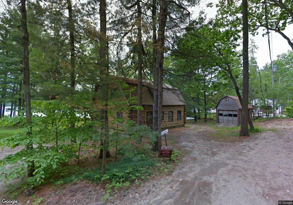
6 Brads Way Raymond, ME 04071
Estimated Value: $811,000 - $1,326,000
4
Beds
2
Baths
1,536
Sq Ft
$684/Sq Ft
Est. Value
About This Home
This home is located at 6 Brads Way, Raymond, ME 04071 and is currently estimated at $1,050,249, approximately $683 per square foot. 6 Brads Way is a home located in Cumberland County with nearby schools including Gray-New Gloucester High School.
Ownership History
Date
Name
Owned For
Owner Type
Purchase Details
Closed on
Apr 12, 2016
Sold by
Mackinnon David W and Mackinnon Jeffrey S
Bought by
Thayer Chandra and Thayer Robert T
Current Estimated Value
Home Financials for this Owner
Home Financials are based on the most recent Mortgage that was taken out on this home.
Original Mortgage
$286,400
Outstanding Balance
$225,836
Interest Rate
3.62%
Mortgage Type
New Conventional
Estimated Equity
$824,413
Create a Home Valuation Report for This Property
The Home Valuation Report is an in-depth analysis detailing your home's value as well as a comparison with similar homes in the area
Home Values in the Area
Average Home Value in this Area
Purchase History
| Date | Buyer | Sale Price | Title Company |
|---|---|---|---|
| Thayer Chandra | -- | -- |
Source: Public Records
Mortgage History
| Date | Status | Borrower | Loan Amount |
|---|---|---|---|
| Open | Thayer Chandra | $286,400 |
Source: Public Records
Tax History Compared to Growth
Tax History
| Year | Tax Paid | Tax Assessment Tax Assessment Total Assessment is a certain percentage of the fair market value that is determined by local assessors to be the total taxable value of land and additions on the property. | Land | Improvement |
|---|---|---|---|---|
| 2025 | $7,618 | $787,000 | $551,900 | $235,100 |
| 2024 | $7,634 | $787,000 | $551,900 | $235,100 |
| 2023 | $6,872 | $452,700 | $275,900 | $176,800 |
| 2022 | $6,315 | $452,700 | $275,900 | $176,800 |
| 2021 | $6,208 | $424,900 | $275,900 | $149,000 |
| 2020 | $6,267 | $424,900 | $275,900 | $149,000 |
| 2019 | $6,267 | $424,900 | $275,900 | $149,000 |
| 2018 | $5,949 | $424,900 | $275,900 | $149,000 |
| 2017 | $5,594 | $294,400 | $193,200 | $101,200 |
| 2016 | $5,388 | $294,400 | $193,200 | $101,200 |
| 2015 | $5,358 | $294,400 | $193,200 | $101,200 |
| 2014 | $5,358 | $294,400 | $193,200 | $101,200 |
| 2012 | $4,606 | $290,621 | $193,240 | $97,381 |
Source: Public Records
Map
Nearby Homes
- 15 Worcester Dr
- 2 Gore Rd
- M011-006 Westwood Rd
- 11-007 Westwood Rd
- 7 Gore Rd
- 8 Lily Ln
- 0 Heidi Way
- 20 Ramsdell Rd
- 21 Westwood Rd
- 18 Ramsdell Rd
- 20 Bittersweet Way
- 12 Presidential View
- 24 Hillside Dr
- 18 Hillside Dr
- lot #8 Bedrock Terrace
- 74 May Meadow Dr
- 1 Pine Ln
- 99 Enterprise Dr
- 107 W Gray Rd
- 16 Peterson Rd
- 4 Brads Way
- 172 Lyons Point Rd
- 1 Brads Way
- 2 Brads Way
- 166 Lyons Point Rd
- 178 Lyons Point Rd
- 166 Lyons Point Rd
- 168 Lyons Point Rd
- 164 Lyons Point Rd
- 163 Lyons Point Rd
- 180 Lyons Point Rd
- 162 Lyons Point Rd
- 161 Lyons Point Rd
- 182 Lyons Point Rd
- 182 Lyons Point Rd
- 159 Lyons Point Rd
- 156 Lyons Point Rd
- 154 Lyons Point Rd
- 155 Lyons Point Rd
- 152 Lyons Point Rd