6 Brooks Hill Rd Lincoln, MA 01773
Estimated Value: $1,554,000 - $2,519,000
4
Beds
4
Baths
3,987
Sq Ft
$489/Sq Ft
Est. Value
About This Home
This home is located at 6 Brooks Hill Rd, Lincoln, MA 01773 and is currently estimated at $1,948,753, approximately $488 per square foot. 6 Brooks Hill Rd is a home located in Middlesex County with nearby schools including Lincoln-Sudbury Regional High School, Tremont School, and Concord Academy.
Ownership History
Date
Name
Owned For
Owner Type
Purchase Details
Closed on
May 23, 2023
Sold by
Alden Sabra D
Bought by
Alden James M
Current Estimated Value
Purchase Details
Closed on
Oct 16, 1998
Sold by
Cassano Michael G and Cassano Heather M
Bought by
Alden James M and Alden Sabra D
Purchase Details
Closed on
Nov 2, 1994
Sold by
Bickford Helen B and Bickford Scott W
Bought by
Cassano Michael G and Cassano Heather M
Create a Home Valuation Report for This Property
The Home Valuation Report is an in-depth analysis detailing your home's value as well as a comparison with similar homes in the area
Home Values in the Area
Average Home Value in this Area
Purchase History
| Date | Buyer | Sale Price | Title Company |
|---|---|---|---|
| Alden James M | -- | None Available | |
| Alden James M | $785,000 | -- | |
| Cassano Michael G | $425,000 | -- | |
| Cassano Michael G | $425,000 | -- |
Source: Public Records
Mortgage History
| Date | Status | Borrower | Loan Amount |
|---|---|---|---|
| Previous Owner | Cassano Michael G | $636,000 | |
| Previous Owner | Cassano Michael G | $25,000 |
Source: Public Records
Tax History Compared to Growth
Tax History
| Year | Tax Paid | Tax Assessment Tax Assessment Total Assessment is a certain percentage of the fair market value that is determined by local assessors to be the total taxable value of land and additions on the property. | Land | Improvement |
|---|---|---|---|---|
| 2025 | $222 | $1,733,400 | $943,100 | $790,300 |
| 2024 | $21,956 | $1,703,300 | $922,900 | $780,400 |
| 2023 | $21,246 | $1,526,300 | $750,900 | $775,400 |
| 2022 | $20,936 | $1,402,300 | $695,700 | $706,600 |
| 2021 | $20,088 | $1,294,300 | $650,900 | $643,400 |
| 2020 | $20,174 | $1,313,400 | $674,900 | $638,500 |
| 2019 | $17,589 | $1,253,700 | $657,300 | $596,400 |
| 2018 | $17,050 | $1,253,700 | $657,300 | $596,400 |
| 2017 | $16,893 | $1,233,100 | $650,900 | $582,200 |
| 2016 | $16,743 | $1,196,800 | $632,500 | $564,300 |
| 2015 | $16,212 | $1,145,700 | $586,100 | $559,600 |
| 2014 | $15,473 | $1,073,800 | $546,900 | $526,900 |
Source: Public Records
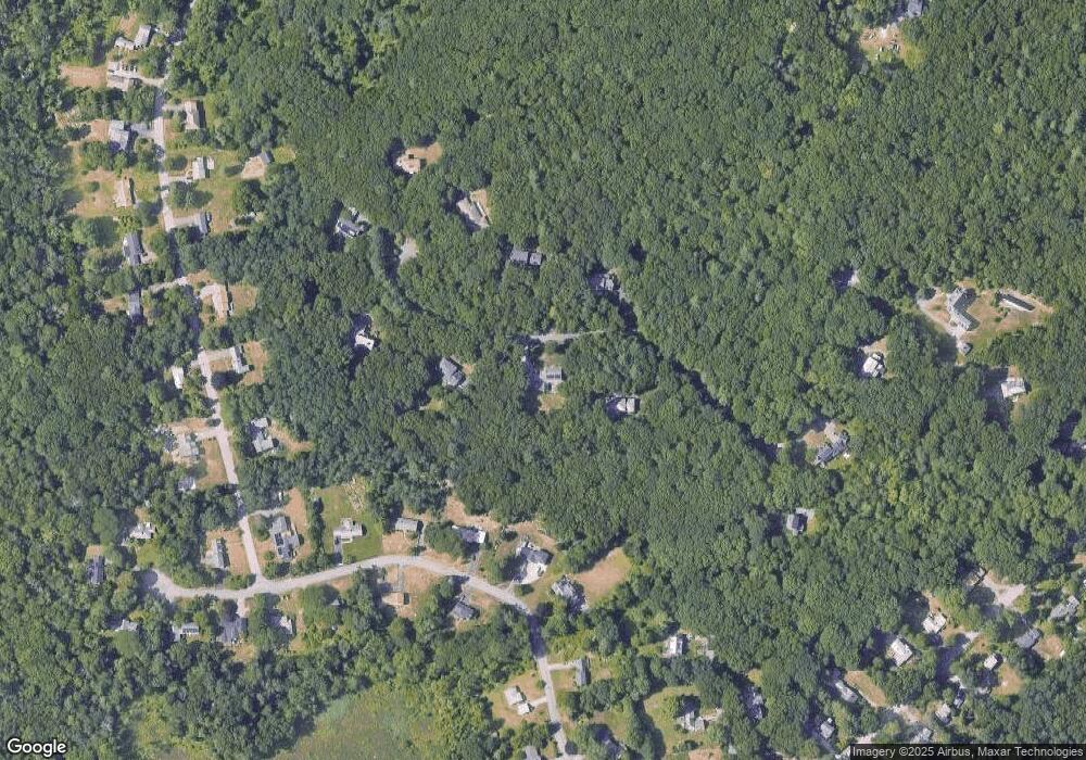
Map
Nearby Homes
- 29 S Commons Unit D
- 5 South Commons Unit D
- 36 Indian Camp Ln Unit D
- 16 Old Cambridge Turnpike
- 22 Old Cambridge Turnpike
- 241 Shadyside Ave
- 646 Cambridge Turnpike
- 9 Garland Rd
- 10 Reiling Pond Rd
- 84 Davison Dr
- 69 Page Rd
- 22 Lincoln Rd
- 16 Hatch Farm Ln
- 10 Hatch Farm Ln
- 28 Hatch Farm Ln
- 60 Baker Bridge Rd
- 8 Stratford Way
- 644 Old Bedford Rd
- 96 Independence Rd
- 7 Blue Heron Way
- 4 Brooks Hill Rd
- 8 Brooks Hill Rd
- 5 Brooks Hill Rd
- 7 Brooks Hill Rd
- 19 Morningside Ln
- 9 Brooks Hill Rd
- 10 Brooks Hill Rd
- 23 Morningside Ln
- 25 Morningside Ln
- 17 Morningside Ln
- 12 Brooks Hill Rd
- 27 Morningside Ln
- 11 Brooks Hill Rd
- 20 Morningside Ln
- 26 Morningside Ln
- 26 Morningside Ln Unit 1
- 11 Sunnyside Ln
- 17 Bedford Ln
- 7 Sunnyside Ln
- 21 Bedford Ln