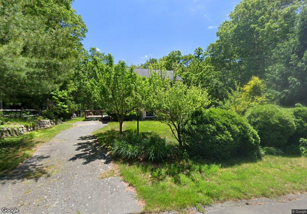
6 Burning Tree Ln East Sandwich, MA 02537
Estimated Value: $540,446 - $598,000
3
Beds
2
Baths
1,260
Sq Ft
$459/Sq Ft
Est. Value
About This Home
This home is located at 6 Burning Tree Ln, East Sandwich, MA 02537 and is currently estimated at $577,862, approximately $458 per square foot. 6 Burning Tree Ln is a home located in Barnstable County with nearby schools including Sandwich Middle High School, Sandwich Montessori School, and Riverview School.
Ownership History
Date
Name
Owned For
Owner Type
Purchase Details
Closed on
Oct 27, 2008
Sold by
Deutsche Bank Natl T C
Bought by
Suhm Diane P and Bigorre Sebastien P
Current Estimated Value
Home Financials for this Owner
Home Financials are based on the most recent Mortgage that was taken out on this home.
Original Mortgage
$144,000
Interest Rate
5.94%
Mortgage Type
Purchase Money Mortgage
Purchase Details
Closed on
Mar 17, 2008
Sold by
Washabaugh Penny L
Bought by
Deutsche Bank Natl T C
Purchase Details
Closed on
Feb 2, 1989
Sold by
Frye Richard E
Bought by
Charette Heidi A
Create a Home Valuation Report for This Property
The Home Valuation Report is an in-depth analysis detailing your home's value as well as a comparison with similar homes in the area
Home Values in the Area
Average Home Value in this Area
Purchase History
| Date | Buyer | Sale Price | Title Company |
|---|---|---|---|
| Suhm Diane P | $180,000 | -- | |
| Deutsche Bank Natl T C | $249,000 | -- | |
| Charette Heidi A | $130,000 | -- |
Source: Public Records
Mortgage History
| Date | Status | Borrower | Loan Amount |
|---|---|---|---|
| Open | Charette Heidi A | $152,000 | |
| Closed | Suhm Diane P | $144,000 | |
| Previous Owner | Charette Heidi A | $160,000 |
Source: Public Records
Tax History Compared to Growth
Tax History
| Year | Tax Paid | Tax Assessment Tax Assessment Total Assessment is a certain percentage of the fair market value that is determined by local assessors to be the total taxable value of land and additions on the property. | Land | Improvement |
|---|---|---|---|---|
| 2025 | $4,099 | $387,800 | $147,400 | $240,400 |
| 2024 | $3,871 | $358,400 | $131,600 | $226,800 |
| 2023 | $3,781 | $328,800 | $119,700 | $209,100 |
| 2022 | $3,626 | $275,500 | $106,900 | $168,600 |
| 2021 | $3,397 | $246,700 | $102,700 | $144,000 |
| 2020 | $3,390 | $236,900 | $100,300 | $136,600 |
| 2019 | $3,248 | $226,800 | $98,500 | $128,300 |
| 2018 | $3,064 | $214,400 | $95,100 | $119,300 |
| 2017 | $3,037 | $203,400 | $92,000 | $111,400 |
| 2016 | $2,885 | $199,400 | $90,900 | $108,500 |
| 2015 | $2,792 | $188,400 | $81,900 | $106,500 |
Source: Public Records
Map
Nearby Homes
- 186 Quaker Meeting House Rd
- 77 Kiahs Way
- 58 Southpoint Dr Unit J
- 59 Southpoint Dr Unit 59
- 185 Cotuit Rd Unit BE4
- 185 Cotuit Rd Unit JP1
- 185 Cotuit Rd Unit C5 Aspen
- 376 Route 6a Unit 17
- 5 Aviators Ln
- 9 Crestview Drive Extension
- 9 Bramble Bush Dr
- 2 Marie Ln
- 86 Greenville Dr
- 7 Highfield Dr
- 93 Deerfield Rd
- 363 Service Rd
- 15 Hunters Tr
- 15 Hunters Trail
- 10 Wintergreen Ln
- 8 Burning Tree Ln
- 4 Burning Tree Ln
- 33 Turtle Cove Rd
- 5 Burning Tree Ln
- 27 Turtle Cove Rd
- 31 Turtle Cove Rd
- 37 Turtle Cove Rd
- 41 Turtle Cove Rd
- 7 Burning Tree Ln
- 2 Burning Tree Ln
- 3 Burning Tree Ln
- 45 Turtle Cove Rd
- 1 Burning Tree Ln
- 22 Mill Rd
- 24 Mill Rd
- 34 Turtle Cove Rd
- 32 Turtle Cove Rd
- 20 Mill Rd
- 36 Turtle Cove Rd
- 26 Mill Rd