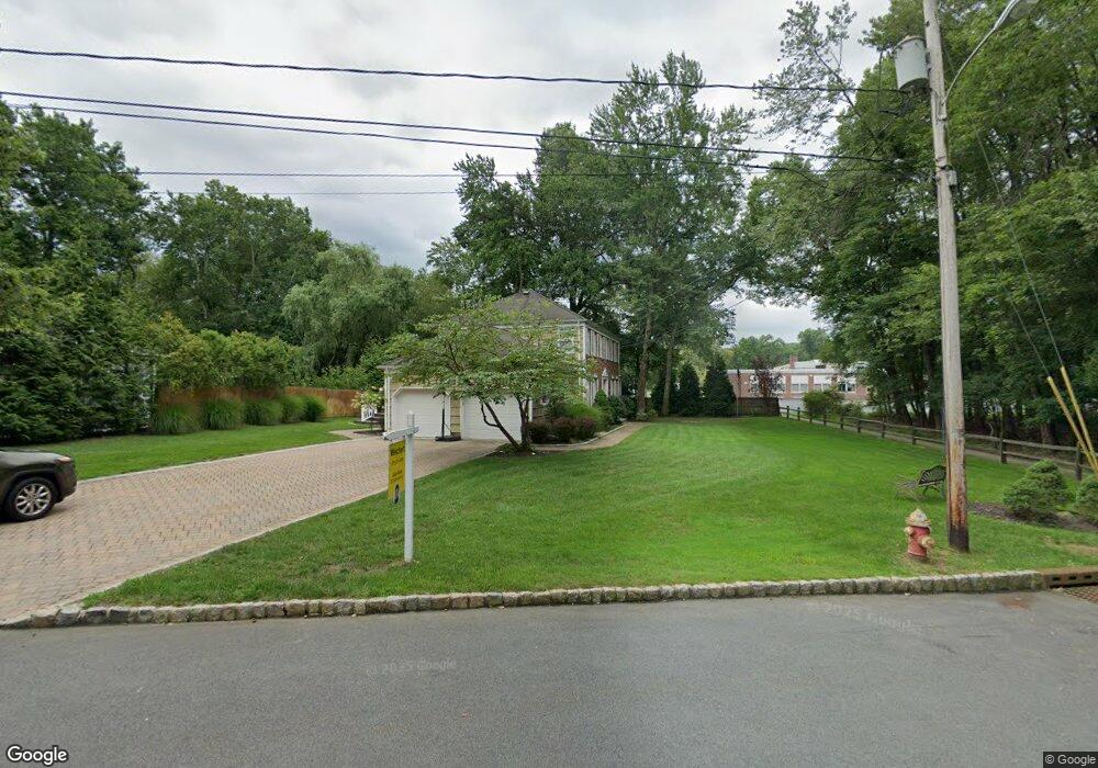
6 Burnside Ave Florham Park, NJ 07932
Estimated Value: $1,218,000 - $1,364,000
4
Beds
4
Baths
2,541
Sq Ft
$507/Sq Ft
Est. Value
About This Home
This home is located at 6 Burnside Ave, Florham Park, NJ 07932 and is currently estimated at $1,287,576, approximately $506 per square foot. 6 Burnside Ave is a home located in Morris County with nearby schools including Briarwood Elementary School, Brooklake Elementary School, and Ridgedale Middle School.
Ownership History
Date
Name
Owned For
Owner Type
Purchase Details
Closed on
Jun 4, 2004
Sold by
Warhoftig David
Bought by
Malone Charles and Malone Kelly
Current Estimated Value
Home Financials for this Owner
Home Financials are based on the most recent Mortgage that was taken out on this home.
Original Mortgage
$300,000
Outstanding Balance
$147,830
Interest Rate
6.12%
Estimated Equity
$1,139,746
Purchase Details
Closed on
Sep 15, 2000
Sold by
Jesse Lutz W
Bought by
Warhoftig David and Warhoftig Nicole
Home Financials for this Owner
Home Financials are based on the most recent Mortgage that was taken out on this home.
Original Mortgage
$342,500
Interest Rate
7.62%
Mortgage Type
Stand Alone First
Create a Home Valuation Report for This Property
The Home Valuation Report is an in-depth analysis detailing your home's value as well as a comparison with similar homes in the area
Home Values in the Area
Average Home Value in this Area
Purchase History
| Date | Buyer | Sale Price | Title Company |
|---|---|---|---|
| Malone Charles | $700,000 | -- | |
| Warhoftig David | $475,000 | -- |
Source: Public Records
Mortgage History
| Date | Status | Borrower | Loan Amount |
|---|---|---|---|
| Open | Malone Charles | $300,000 | |
| Previous Owner | Warhoftig David | $342,500 |
Source: Public Records
Tax History Compared to Growth
Tax History
| Year | Tax Paid | Tax Assessment Tax Assessment Total Assessment is a certain percentage of the fair market value that is determined by local assessors to be the total taxable value of land and additions on the property. | Land | Improvement |
|---|---|---|---|---|
| 2025 | $12,091 | $744,500 | $417,800 | $326,700 |
| 2024 | $11,897 | $744,500 | $417,800 | $326,700 |
| 2023 | $11,897 | $744,500 | $417,800 | $326,700 |
| 2022 | $11,912 | $744,500 | $417,800 | $326,700 |
| 2021 | $11,912 | $744,500 | $417,800 | $326,700 |
| 2020 | $11,666 | $744,500 | $417,800 | $326,700 |
| 2019 | $11,465 | $744,500 | $417,800 | $326,700 |
| 2018 | $11,249 | $744,500 | $417,800 | $326,700 |
| 2017 | $10,966 | $744,500 | $417,800 | $326,700 |
| 2016 | $10,669 | $744,500 | $417,800 | $326,700 |
| 2015 | $10,483 | $744,500 | $417,800 | $326,700 |
| 2014 | $10,259 | $744,500 | $417,800 | $326,700 |
Source: Public Records
Map
Nearby Homes
- 14 Kenneth Ct
- 119 Cathedral Ave
- 3 Gregory Dr
- 4 Leslie Ave
- 6 Hanover Rd
- 30 Cathedral Ave
- 4 Trevino Ct Unit 30D
- 79 Roosevelt Blvd
- 15 Park St
- 139 Ridgedale Ave
- 9 1st St
- 110 Roosevelt Blvd
- 11 Willow Way
- 33 Riverside Dr
- 38 Park St Unit 8F
- 38 Park St Unit F
- 250 S Ridgedale Ave Unit 4
- 243 Ridgedale Ave
- 77 Rockwood Rd
- 18 Quail Run
- 4 Burnside Ave
- 5 Burnside Ave
- 247 Brooklake Rd
- 245 Brooklake Rd
- 249 Brooklake Rd
- 243 Brooklake Rd
- 241 Brooklake Rd
- 251 Brooklake Rd
- 239 Brooklake Rd
- 255 Brooklake Rd
- 1 Crescent Rd
- 2 Crescent Rd
- 248 Brooklake Rd
- 252 Brooklake Rd
- 257 Brooklake Rd
- 244 Brooklake Rd
- 240 Brooklake Rd
- 237 Brooklake Rd
- 254 Brooklake Rd
- 259 Brooklake Rd