Estimated Value: $802,960 - $886,000
Studio
--
Bath
2,241
Sq Ft
$372/Sq Ft
Est. Value
About This Home
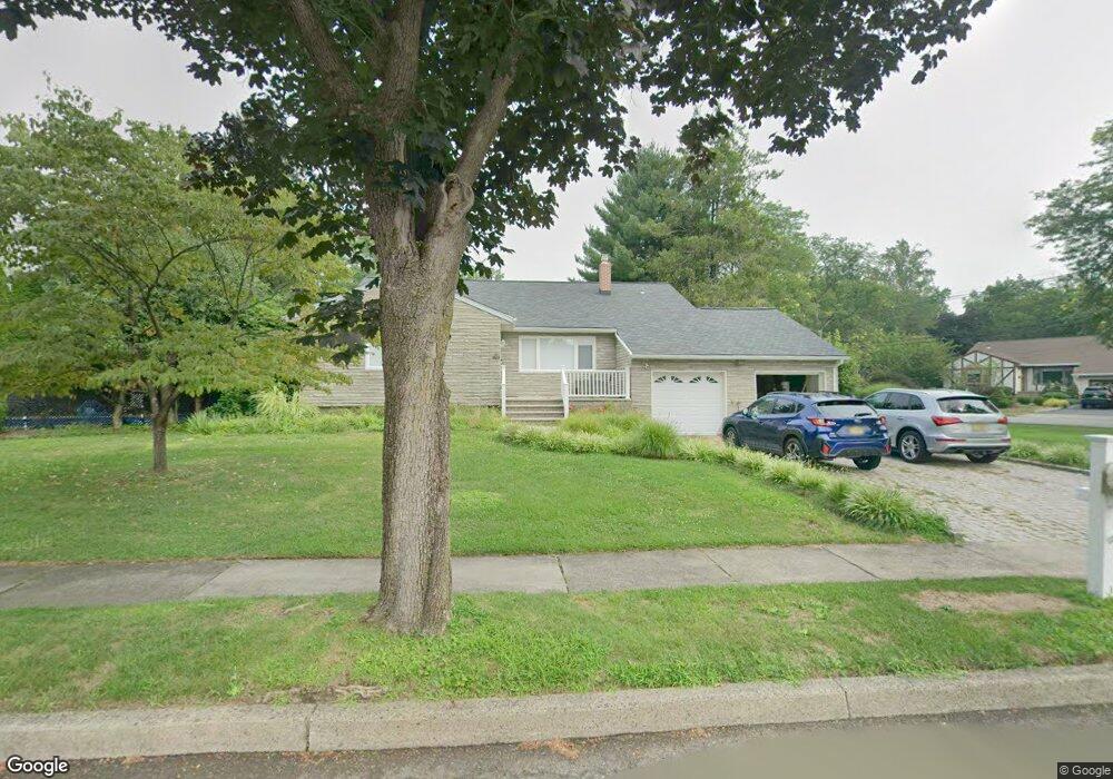
This home is located at 6 Burnside Place, Wayne, NJ 07470 and is currently estimated at $832,740, approximately $371 per square foot. 6 Burnside Place is a home located in Passaic County with nearby schools including Lafayette Elementary School, Anthony Wayne Middle School, and Wayne Valley High School.
Ownership History
Date
Name
Owned For
Owner Type
Purchase Details
Closed on
Nov 29, 2005
Sold by
Hansen Robert F
Bought by
Wills Celeste F and Levine Melani J
Current Estimated Value
Home Financials for this Owner
Home Financials are based on the most recent Mortgage that was taken out on this home.
Original Mortgage
$492,000
Outstanding Balance
$276,095
Interest Rate
6.34%
Mortgage Type
New Conventional
Estimated Equity
$556,645
Purchase Details
Closed on
Sep 29, 1998
Sold by
Gusetelu Dumitru and Gusetelu Maria
Bought by
Hansen Robert F and Hansen Carolyn F
Create a Home Valuation Report for This Property
The Home Valuation Report is an in-depth analysis detailing your home's value as well as a comparison with similar homes in the area
Home Values in the Area
Average Home Value in this Area
Purchase History
| Date | Buyer | Sale Price | Title Company |
|---|---|---|---|
| Wills Celeste F | $615,000 | -- | |
| Hansen Robert F | $322,500 | -- |
Source: Public Records
Mortgage History
| Date | Status | Borrower | Loan Amount |
|---|---|---|---|
| Open | Wills Celeste F | $492,000 |
Source: Public Records
Tax History
| Year | Tax Paid | Tax Assessment Tax Assessment Total Assessment is a certain percentage of the fair market value that is determined by local assessors to be the total taxable value of land and additions on the property. | Land | Improvement |
|---|---|---|---|---|
| 2025 | $14,312 | $240,700 | $124,900 | $115,800 |
| 2024 | $13,763 | $240,700 | $124,900 | $115,800 |
Source: Public Records
Map
Nearby Homes
- 32 Augusta Dr
- 761 Valley Rd
- 16 Lawrence Rd
- 22 Woodlot Rd
- 20 Maljim Ct
- 18 Stanford Place
- 27 Viewpoint Rd
- 102 Garside Ave
- 6 Sherry Ct
- 27 Stanford Place
- 77 Garside Ave
- 17 Clifford Dr
- 12 Clinton Ln
- 90 Birchwood Terrace
- 4 Highfield Ct
- 30 Corvair Place
- 109 Four Seasons Dr
- 55 Knox Terrace Unit 1A
- 55 Knox Terrace Unit 1B
- 44 Littlewood Ct
- 147 Andover Dr
- 1 Burnside Place
- 142 Andover Dr
- 138 Andover Dr
- 151 Andover Dr
- 5 Burnside Place
- 12 Burnside Place
- 148 Andover Dr
- 3 Augusta Dr
- 127 Andover Dr
- 152 Andover Dr
- 130 Andover Dr
- 18 Burnside Place
- 24 Everett Place
- 12 Hunter Place
- 7 Augusta Dr
- 29 Everett Place
- 22 Burnside Place
- 123 Andover Dr
- 6 Augusta Dr
Your Personal Tour Guide
Ask me questions while you tour the home.