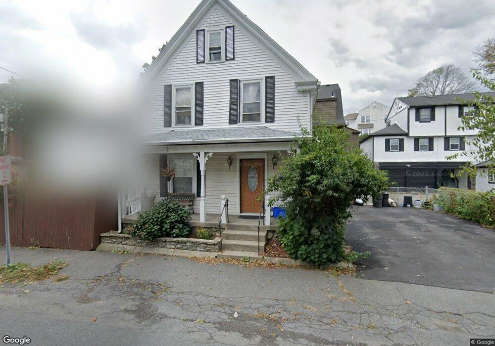
6 Burpee Rd Swampscott, MA 01907
Estimated Value: $602,000 - $679,000
3
Beds
1
Bath
1,390
Sq Ft
$453/Sq Ft
Est. Value
About This Home
This home is located at 6 Burpee Rd, Swampscott, MA 01907 and is currently estimated at $629,269, approximately $452 per square foot. 6 Burpee Rd is a home located in Essex County with nearby schools including Swampscott Middle School and Swampscott High School.
Ownership History
Date
Name
Owned For
Owner Type
Purchase Details
Closed on
Jun 2, 1999
Sold by
Arribea Jennie Est
Bought by
Legere Arthur F and Legere Michelle M
Current Estimated Value
Home Financials for this Owner
Home Financials are based on the most recent Mortgage that was taken out on this home.
Original Mortgage
$138,500
Interest Rate
6.85%
Mortgage Type
Purchase Money Mortgage
Create a Home Valuation Report for This Property
The Home Valuation Report is an in-depth analysis detailing your home's value as well as a comparison with similar homes in the area
Home Values in the Area
Average Home Value in this Area
Purchase History
| Date | Buyer | Sale Price | Title Company |
|---|---|---|---|
| Legere Arthur F | $154,000 | -- | |
| Legere Arthur F | $154,000 | -- |
Source: Public Records
Mortgage History
| Date | Status | Borrower | Loan Amount |
|---|---|---|---|
| Open | Legere Arthur F | $135,000 | |
| Closed | Legere Arthur F | $138,500 |
Source: Public Records
Tax History
| Year | Tax Paid | Tax Assessment Tax Assessment Total Assessment is a certain percentage of the fair market value that is determined by local assessors to be the total taxable value of land and additions on the property. | Land | Improvement |
|---|---|---|---|---|
| 2025 | $6,015 | $524,400 | $229,800 | $294,600 |
| 2024 | $5,891 | $512,700 | $218,900 | $293,800 |
| 2023 | $5,821 | $495,800 | $218,900 | $276,900 |
| 2022 | $5,426 | $422,900 | $186,500 | $236,400 |
| 2021 | $5,205 | $377,200 | $145,900 | $231,300 |
| 2020 | $5,347 | $373,900 | $145,900 | $228,000 |
| 2019 | $5,437 | $357,700 | $129,700 | $228,000 |
| 2018 | $5,194 | $324,600 | $113,500 | $211,100 |
| 2017 | $5,232 | $299,800 | $105,400 | $194,400 |
| 2016 | $5,055 | $291,700 | $97,300 | $194,400 |
| 2015 | $5,003 | $291,700 | $97,300 | $194,400 |
| 2014 | $4,821 | $257,800 | $81,100 | $176,700 |
Source: Public Records
Map
Nearby Homes
- 46 Stetson Ave
- 64 Stetson Ave
- 106 Norfolk Ave
- 80 Norfolk Ave Unit 1
- 96 Burpee Rd Unit 1
- 4 Valley Rd Unit 4
- 60 Roy St
- 146 Burrill St
- 143 Burrill St Unit 301
- 11 Boynton St Unit 104
- 11 Boynton St Unit 101
- 11 Boynton St Unit 103
- 11 Boynton St Unit 201
- 8 Summit View Dr
- 100 Burrill St Unit 6
- 16 Isabella St
- 169 Walker Rd Unit 2
- 167-169 Walker Rd
- 48 Mountwood Rd
- 50 Mountwood Rd
- 6 Hillcrest Cir
- 10 Burpee Rd
- 10 Burpee Rd Unit 10
- 154 Essex St
- 146 Essex St Unit 148
- 34 Hillcrest Cir
- 34 Hillcrest Cir Unit 1
- 14 Burpee Rd Unit 16
- 9 Burpee Rd
- 158 Essex St Unit 160
- 162 Essex St Unit 164
- 164 Essex St Unit 2
- 164 Essex St
- 8 Hillcrest Cir
- 15 Burpee Rd
- 2 Hillcrest Cir
- 1 Hillcrest Cir
- 17 Burpee Rd
- 147 Essex St Unit 149
- 147-149 Essex St Unit 147-149 Essex St Uni
Your Personal Tour Guide
Ask me questions while you tour the home.