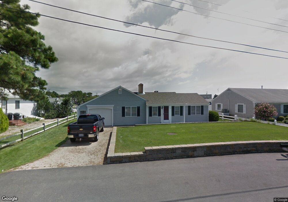
6 Capt Keavy Way West Dennis, MA 02670
West Dennis NeighborhoodEstimated Value: $1,849,000 - $2,208,000
3
Beds
2
Baths
1,677
Sq Ft
$1,163/Sq Ft
Est. Value
About This Home
This home is located at 6 Capt Keavy Way, West Dennis, MA 02670 and is currently estimated at $1,949,599, approximately $1,162 per square foot. 6 Capt Keavy Way is a home located in Barnstable County with nearby schools including Dennis-Yarmouth Regional High School and St. Pius X. School.
Ownership History
Date
Name
Owned For
Owner Type
Purchase Details
Closed on
Mar 31, 2016
Sold by
Ohearn Thomas W
Bought by
Durkin William F and Durkin Donna M
Current Estimated Value
Home Financials for this Owner
Home Financials are based on the most recent Mortgage that was taken out on this home.
Original Mortgage
$680,000
Outstanding Balance
$539,686
Interest Rate
3.65%
Mortgage Type
Purchase Money Mortgage
Estimated Equity
$1,409,913
Purchase Details
Closed on
Jun 18, 2007
Sold by
Marks Charles J
Bought by
Ohearn Thomas W
Home Financials for this Owner
Home Financials are based on the most recent Mortgage that was taken out on this home.
Original Mortgage
$732,000
Interest Rate
6.19%
Mortgage Type
Purchase Money Mortgage
Create a Home Valuation Report for This Property
The Home Valuation Report is an in-depth analysis detailing your home's value as well as a comparison with similar homes in the area
Home Values in the Area
Average Home Value in this Area
Purchase History
| Date | Buyer | Sale Price | Title Company |
|---|---|---|---|
| Durkin William F | $935,000 | -- | |
| Ohearn Thomas W | $915,000 | -- |
Source: Public Records
Mortgage History
| Date | Status | Borrower | Loan Amount |
|---|---|---|---|
| Open | Durkin William F | $680,000 | |
| Previous Owner | Ohearn Thomas W | $732,000 |
Source: Public Records
Tax History Compared to Growth
Tax History
| Year | Tax Paid | Tax Assessment Tax Assessment Total Assessment is a certain percentage of the fair market value that is determined by local assessors to be the total taxable value of land and additions on the property. | Land | Improvement |
|---|---|---|---|---|
| 2025 | $7,929 | $1,831,200 | $1,115,300 | $715,900 |
| 2024 | $7,725 | $1,759,700 | $1,072,500 | $687,200 |
| 2023 | $7,497 | $1,605,300 | $975,000 | $630,300 |
| 2022 | $6,052 | $1,080,800 | $602,300 | $478,500 |
| 2021 | $5,624 | $932,600 | $590,400 | $342,200 |
| 2020 | $5,529 | $906,400 | $590,400 | $316,000 |
| 2019 | $5,196 | $801,400 | $578,900 | $222,500 |
| 2018 | $3,017 | $831,000 | $631,400 | $199,600 |
| 2017 | $4,808 | $801,500 | $608,500 | $193,000 |
| 2016 | $5,350 | $819,300 | $660,100 | $159,200 |
| 2015 | $5,336 | $833,700 | $660,100 | $173,600 |
| 2014 | $5,286 | $832,500 | $660,100 | $172,400 |
Source: Public Records
Map
Nearby Homes
- 2 Rita Mary Way
- 181 Pleasant St
- 308 Old Main St
- 745 Willow St
- 14 Schoolhouse Ln
- 209 Main St Unit 3
- 209 Main St Unit 6
- 209 Main St Unit 1
- 209 Main St Unit 2
- 209 Main St Unit 4
- 209 Main St Unit 5
- 178 School St
- 17 South St
- 45 Seth Ln
- 40 Kelley Rd
- 23 Doric Ave
- 22 Powhatan Rd
- 4 Braddock St
- 9 Cedar St
- 29 Bass River Rd
- 2 Capt Keavy Way
- 14 Capt Keavy Way
- 2 Captain Keavy Way
- 4 Captain Keavy Way
- 3 Captain Keavy Way
- 74 Buckley Rd
- 82 Buckley Rd
- 84 Buckley Rd
- 96 Merchant Ave
- 78 Merchant Ave
- 78 Merchant Ave
- 6 Captain Keavy Way
- 68 Buckley Rd
- 7 Captain Keavy Way
- 75 Buckley Rd
- 10 Captain Keavy Way
- 81 Buckley Rd
- 98 Merchant Ave
- 71 Buckley Rd
- 90 Buckley Rd