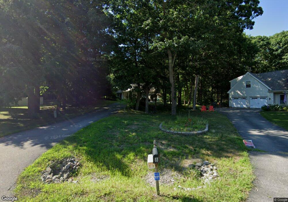
6 Cartier Cir Saco, ME 04072
East Saco NeighborhoodEstimated Value: $803,301 - $1,052,000
3
Beds
2
Baths
2,684
Sq Ft
$342/Sq Ft
Est. Value
About This Home
This home is located at 6 Cartier Cir, Saco, ME 04072 and is currently estimated at $918,075, approximately $342 per square foot. 6 Cartier Cir is a home located in York County with nearby schools including C K Burns School, Saco Middle School, and Florence Lombard Christian School.
Ownership History
Date
Name
Owned For
Owner Type
Purchase Details
Closed on
Oct 9, 2009
Sold by
Stoutenburg Casey E and Stoutenburg Kristin M
Bought by
Kane Thomas J and Kane Marlene S
Current Estimated Value
Purchase Details
Closed on
Oct 31, 2005
Sold by
Lord Rita E
Bought by
Stoutenburg Casey H
Home Financials for this Owner
Home Financials are based on the most recent Mortgage that was taken out on this home.
Original Mortgage
$335,920
Interest Rate
6%
Mortgage Type
Adjustable Rate Mortgage/ARM
Create a Home Valuation Report for This Property
The Home Valuation Report is an in-depth analysis detailing your home's value as well as a comparison with similar homes in the area
Home Values in the Area
Average Home Value in this Area
Purchase History
| Date | Buyer | Sale Price | Title Company |
|---|---|---|---|
| Kane Thomas J | -- | -- | |
| Stoutenburg Casey H | -- | -- |
Source: Public Records
Mortgage History
| Date | Status | Borrower | Loan Amount |
|---|---|---|---|
| Previous Owner | Kane Thomas J | $77,748 | |
| Previous Owner | Stoutenburg Casey H | $335,920 | |
| Previous Owner | Stoutenburg Casey H | $83,980 |
Source: Public Records
Tax History Compared to Growth
Tax History
| Year | Tax Paid | Tax Assessment Tax Assessment Total Assessment is a certain percentage of the fair market value that is determined by local assessors to be the total taxable value of land and additions on the property. | Land | Improvement |
|---|---|---|---|---|
| 2024 | $8,613 | $613,000 | $185,200 | $427,800 |
| 2023 | $9,042 | $613,000 | $185,200 | $427,800 |
| 2022 | $8,058 | $439,600 | $141,400 | $298,200 |
| 2021 | $7,831 | $414,800 | $129,600 | $285,200 |
| 2020 | $7,481 | $380,300 | $117,800 | $262,500 |
| 2019 | $7,370 | $380,300 | $117,800 | $262,500 |
| 2018 | $6,055 | $372,400 | $109,900 | $262,500 |
| 2017 | $6,578 | $359,400 | $100,100 | $259,300 |
| 2016 | $6,346 | $326,800 | $98,700 | $228,100 |
| 2015 | $6,131 | $319,000 | $98,700 | $220,300 |
| 2014 | $5,897 | $316,700 | $96,400 | $220,300 |
| 2013 | -- | $316,700 | $96,400 | $220,300 |
Source: Public Records
Map
Nearby Homes
- 30 Vines Rd
- 57 Plymouth Dr
- TBD 530 Ferry Rd
- 5 Blaine Rd Unit 101
- 5 Blaine Rd Unit 104
- 5 Blaine Rd Unit 102
- 5 Blaine Rd
- 5 Blaine Rd Unit 103
- 19 Ocean Greens Dr
- 26 Ocean Greens Dr
- 17 Randall Ave
- 6 Tide Water Dr
- 378 Pool St
- 353 Pool St
- 2 Breakwater Way Unit 2
- 4 Mainsail Ln Unit 4
- 343 Pool St
- 1 Pine Ridge Rd
- 625,650 Pool St
- 29 Old Orchard Rd Unit 10