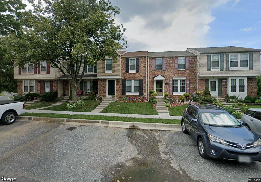
6 Cavan Green Nottingham, MD 21236
Estimated Value: $400,000 - $422,000
Studio
2
Baths
1,305
Sq Ft
$316/Sq Ft
Est. Value
About This Home
This home is located at 6 Cavan Green, Nottingham, MD 21236 and is currently estimated at $412,085, approximately $315 per square foot. 6 Cavan Green is a home located in Baltimore County with nearby schools including Perry Hall Elementary School, Perry Hall Middle School, and Perry Hall High School.
Ownership History
Date
Name
Owned For
Owner Type
Purchase Details
Closed on
Feb 22, 2014
Sold by
Sckrabulis Thomas J and Sckrabulis Joan M
Bought by
Romero Edward B and Kidd Romero Sarah M
Current Estimated Value
Home Financials for this Owner
Home Financials are based on the most recent Mortgage that was taken out on this home.
Original Mortgage
$226,100
Outstanding Balance
$171,198
Interest Rate
4.39%
Mortgage Type
New Conventional
Estimated Equity
$240,887
Purchase Details
Closed on
Nov 9, 1998
Sold by
Sckrabulis Thomas J
Bought by
Sckrabulis Thomas J and Sckrabulis Joan M
Purchase Details
Closed on
Jan 4, 1994
Sold by
Mitchell Kenneth
Bought by
Hoffman Kenneth A
Home Financials for this Owner
Home Financials are based on the most recent Mortgage that was taken out on this home.
Original Mortgage
$96,150
Interest Rate
7%
Purchase Details
Closed on
Aug 13, 1985
Sold by
Lazzaro Frank Albert 3Rd
Bought by
Sckrabulis Thomas J
Create a Home Valuation Report for This Property
The Home Valuation Report is an in-depth analysis detailing your home's value as well as a comparison with similar homes in the area
Home Values in the Area
Average Home Value in this Area
Purchase History
| Date | Buyer | Sale Price | Title Company |
|---|---|---|---|
| Romero Edward B | $238,000 | None Available | |
| Sckrabulis Thomas J | -- | -- | |
| Hoffman Kenneth A | $95,500 | -- | |
| Sckrabulis Thomas J | $80,500 | -- |
Source: Public Records
Mortgage History
| Date | Status | Borrower | Loan Amount |
|---|---|---|---|
| Open | Romero Edward B | $226,100 | |
| Previous Owner | Hoffman Kenneth A | $96,150 |
Source: Public Records
Tax History
| Year | Tax Paid | Tax Assessment Tax Assessment Total Assessment is a certain percentage of the fair market value that is determined by local assessors to be the total taxable value of land and additions on the property. | Land | Improvement |
|---|---|---|---|---|
| 2025 | $3,997 | $321,100 | $87,000 | $234,100 |
| 2024 | $3,997 | $304,267 | $0 | $0 |
| 2023 | $1,925 | $287,433 | $0 | $0 |
| 2022 | $3,686 | $270,600 | $84,600 | $186,000 |
| 2021 | $3,428 | $258,533 | $0 | $0 |
| 2020 | $3,428 | $246,467 | $0 | $0 |
| 2019 | $3,242 | $234,400 | $84,600 | $149,800 |
| 2018 | $3,115 | $222,633 | $0 | $0 |
| 2017 | $2,958 | $210,867 | $0 | $0 |
| 2016 | $2,924 | $199,100 | $0 | $0 |
| 2015 | $2,924 | $199,100 | $0 | $0 |
| 2014 | $2,924 | $199,100 | $0 | $0 |
Source: Public Records
Map
Nearby Homes
- 27 Cavan Green
- 8876 Paddock Ln
- 3767 Foxford Stream Rd
- 3754 Foxford Stream Rd
- 4106 Link Ave
- 13 Derwood Ct
- 9 Slavin Ct
- 3 Slavin Ct
- 24 Lerner Ct
- 25 Arwell Ct
- 9036 Simms Ct
- 3505 E Joppa Rd
- 4231 Plumer Ave
- 26 Coatsbridge Ct
- 3417 E Joppa Rd
- 8713 Belair Rd
- 8330 Belair Rd
- 9727 Denrob Ct
- 9729 Denrob Ct
- 23 Coatsbridge Ct
Your Personal Tour Guide
Ask me questions while you tour the home.