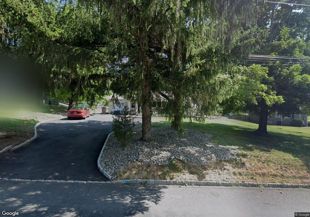
6 Cedar Grove Rd Branchburg, NJ 08876
Branchburg Township NeighborhoodEstimated Value: $563,000 - $711,000
--
Bed
--
Bath
2,211
Sq Ft
$289/Sq Ft
Est. Value
About This Home
This home is located at 6 Cedar Grove Rd, Branchburg, NJ 08876 and is currently estimated at $639,286, approximately $289 per square foot. 6 Cedar Grove Rd is a home located in Somerset County with nearby schools including Whiton Elementary School, Stony Brook School, and Branchburg Central Middle School.
Ownership History
Date
Name
Owned For
Owner Type
Purchase Details
Closed on
Jan 24, 2014
Sold by
Rfdc Realty Llc
Bought by
Zonar Llc
Current Estimated Value
Purchase Details
Closed on
May 16, 2000
Sold by
Auricchio James
Bought by
Decanto Anthony
Home Financials for this Owner
Home Financials are based on the most recent Mortgage that was taken out on this home.
Original Mortgage
$80,000
Interest Rate
8.19%
Purchase Details
Closed on
Mar 11, 1993
Sold by
Matuska Jr Joseph A and Matuska Gail J
Bought by
Auricchio James Thomas and Auricchio Kim
Create a Home Valuation Report for This Property
The Home Valuation Report is an in-depth analysis detailing your home's value as well as a comparison with similar homes in the area
Home Values in the Area
Average Home Value in this Area
Purchase History
| Date | Buyer | Sale Price | Title Company |
|---|---|---|---|
| Zonar Llc | -- | None Available | |
| Decanto Anthony | $222,000 | -- | |
| Auricchio James Thomas | $152,500 | -- |
Source: Public Records
Mortgage History
| Date | Status | Borrower | Loan Amount |
|---|---|---|---|
| Previous Owner | Decanto Anthony | $80,000 |
Source: Public Records
Tax History Compared to Growth
Tax History
| Year | Tax Paid | Tax Assessment Tax Assessment Total Assessment is a certain percentage of the fair market value that is determined by local assessors to be the total taxable value of land and additions on the property. | Land | Improvement |
|---|---|---|---|---|
| 2025 | $9,107 | $548,300 | $139,000 | $409,300 |
| 2024 | $9,107 | $504,800 | $139,000 | $365,800 |
| 2023 | $8,870 | $474,100 | $139,000 | $335,100 |
| 2022 | $8,750 | $444,400 | $139,000 | $305,400 |
| 2021 | $6,157 | $419,900 | $139,000 | $280,900 |
| 2020 | $7,038 | $328,400 | $139,000 | $189,400 |
| 2019 | $6,984 | $324,100 | $139,000 | $185,100 |
| 2018 | $6,863 | $317,600 | $134,000 | $183,600 |
| 2017 | $6,802 | $312,600 | $129,000 | $183,600 |
| 2016 | $6,780 | $309,600 | $129,000 | $180,600 |
| 2015 | $6,827 | $312,300 | $129,000 | $183,300 |
| 2014 | $6,808 | $315,200 | $129,200 | $186,000 |
Source: Public Records
Map
Nearby Homes
- 232 River Rd
- 185 Milltown Rd
- 11 Andover Ave
- 3010 Doolittle Dr
- 2801 Doolittle Dr
- 2512 Lindsley Rd
- 87 Ivy Ln
- 10 Red Oak Way
- 2104 Doolittle Dr
- 1601 Breckenridge Dr
- 317 Old York Rd
- 15 Campbell Ct
- 2706 Pinhorn Dr
- 3214 Winder Dr
- 5 Walnut Dr
- 261 Old York Rd
- 2008 Ackmen Ct
- 19 Craft Farm Dr
- 511 Red Crest Ln
- 3803 Vroom Dr