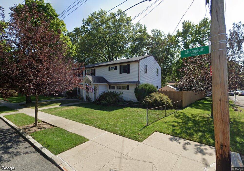
6 Champlain Ave Staten Island, NY 10306
Oakwood NeighborhoodEstimated Value: $772,000 - $1,194,000
Studio
4
Baths
2,150
Sq Ft
$448/Sq Ft
Est. Value
About This Home
This home is located at 6 Champlain Ave, Staten Island, NY 10306 and is currently estimated at $962,615, approximately $447 per square foot. 6 Champlain Ave is a home located in Richmond County with nearby schools including P.S. 50 Frank Hankinson School, Myra S. Barnes Intermediate School 24, and New Dorp High School.
Ownership History
Date
Name
Owned For
Owner Type
Purchase Details
Closed on
Nov 7, 2024
Sold by
Petrullo Carla A
Bought by
Carla A Petrullo Trust and Petrullo
Current Estimated Value
Purchase Details
Closed on
Dec 12, 1997
Sold by
Petrullo Stephen K
Bought by
Petrullo Carla
Create a Home Valuation Report for This Property
The Home Valuation Report is an in-depth analysis detailing your home's value as well as a comparison with similar homes in the area
Home Values in the Area
Average Home Value in this Area
Purchase History
| Date | Buyer | Sale Price | Title Company |
|---|---|---|---|
| Carla A Petrullo Trust | -- | None Listed On Document | |
| Carla A Petrullo Trust | -- | None Listed On Document | |
| Petrullo Carla | $120,000 | -- |
Source: Public Records
Tax History
| Year | Tax Paid | Tax Assessment Tax Assessment Total Assessment is a certain percentage of the fair market value that is determined by local assessors to be the total taxable value of land and additions on the property. | Land | Improvement |
|---|---|---|---|---|
| 2025 | $8,075 | $62,160 | $11,025 | $51,135 |
| 2024 | $8,087 | $54,180 | $11,933 | $42,247 |
| 2023 | $8,165 | $41,603 | $11,201 | $30,402 |
| 2022 | $7,956 | $58,260 | $15,540 | $42,720 |
| 2021 | $7,895 | $50,040 | $15,540 | $34,500 |
| 2020 | $7,483 | $46,320 | $15,540 | $30,780 |
| 2019 | $6,960 | $50,280 | $15,540 | $34,740 |
| 2018 | $6,770 | $34,669 | $11,722 | $22,947 |
| 2017 | $6,714 | $34,408 | $14,168 | $20,240 |
| 2016 | $6,179 | $32,461 | $12,934 | $19,527 |
| 2015 | $5,239 | $30,624 | $10,287 | $20,337 |
| 2014 | $5,239 | $28,891 | $11,408 | $17,483 |
Source: Public Records
Map
Nearby Homes
- 1926 N Railroad Ave
- 34 Malone Ave
- 77 Acorn St
- 122 Guyon Ave
- 227 Fairbanks Ave
- 137 Buffalo St
- 12 Clarence Place
- 158 Malone Ave
- 56 Wolverine St
- 28 Peter Ave
- 92 Twombly Ave
- 56 Brook Ave
- 115 Spratt Ave
- 160 Wolverine St
- 310 Chesterton Ave
- 9 Penn Ave
- 30 Ithaca St
- 143 Wolverine St
- 161 Spratt Ave
- 133 Durant Ave
- 12 Champlain Ave
- 5 Malone Ave
- 9 Malone Ave
- 18 Champlain Ave
- 1945 S Railroad Ave
- 1949-1951 S Railroad Ave
- 7 Champlain Ave
- 1951 S Railroad Ave Unit 1
- 1941 S Railroad Ave Unit 1945
- 1941-1945 S Railroad Ave
- 15 Malone Ave
- 1949 S Railroad Ave Unit 1951
- 1937 S Railroad Ave
- 24 Champlain Ave
- 1935 S Railroad Ave Unit 1937
- 1935-1937 S Railroad Ave
- 1955 S Railroad Ave Unit 1957
- 1955-1957 S Railroad Ave
- 1930 S Railroad Ave
- 21 Malone Ave
Your Personal Tour Guide
Ask me questions while you tour the home.