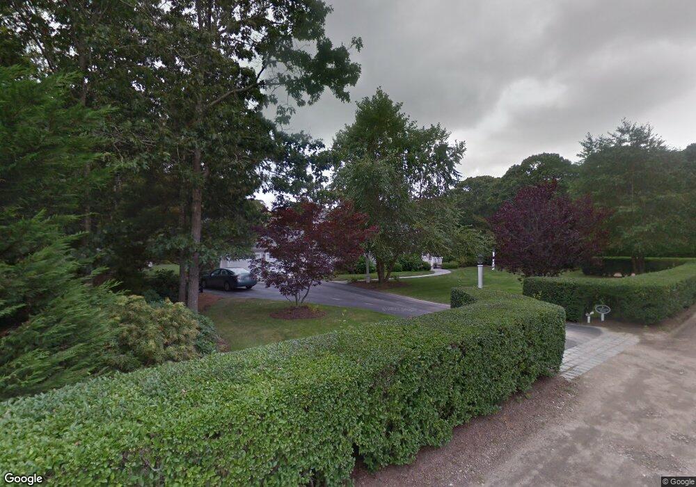
6 Choptank Rd East Falmouth, MA 02536
East Falmouth NeighborhoodEstimated Value: $1,579,000 - $1,889,421
5
Beds
3
Baths
3,201
Sq Ft
$540/Sq Ft
Est. Value
About This Home
This home is located at 6 Choptank Rd, East Falmouth, MA 02536 and is currently estimated at $1,729,105, approximately $540 per square foot. 6 Choptank Rd is a home located in Barnstable County with nearby schools including East Falmouth Elementary School, Morse Pond School, and Lawrence School.
Ownership History
Date
Name
Owned For
Owner Type
Purchase Details
Closed on
Jul 30, 2004
Sold by
Ghb Rt and Bigelow
Bought by
Chapin Melinda W and Chapin Timothy H
Current Estimated Value
Home Financials for this Owner
Home Financials are based on the most recent Mortgage that was taken out on this home.
Original Mortgage
$333,700
Outstanding Balance
$169,090
Interest Rate
6.33%
Mortgage Type
Purchase Money Mortgage
Estimated Equity
$1,560,015
Purchase Details
Closed on
Nov 21, 2003
Sold by
Morrison Alan F and Morrison Joy R
Bought by
Ghb Rt and Bigelow
Home Financials for this Owner
Home Financials are based on the most recent Mortgage that was taken out on this home.
Original Mortgage
$300,000
Interest Rate
5.98%
Mortgage Type
Purchase Money Mortgage
Create a Home Valuation Report for This Property
The Home Valuation Report is an in-depth analysis detailing your home's value as well as a comparison with similar homes in the area
Home Values in the Area
Average Home Value in this Area
Purchase History
| Date | Buyer | Sale Price | Title Company |
|---|---|---|---|
| Chapin Melinda W | $852,500 | -- | |
| Ghb Rt | $800,000 | -- |
Source: Public Records
Mortgage History
| Date | Status | Borrower | Loan Amount |
|---|---|---|---|
| Open | Chapin Melinda W | $333,700 | |
| Previous Owner | Ghb Rt | $300,000 |
Source: Public Records
Tax History Compared to Growth
Tax History
| Year | Tax Paid | Tax Assessment Tax Assessment Total Assessment is a certain percentage of the fair market value that is determined by local assessors to be the total taxable value of land and additions on the property. | Land | Improvement |
|---|---|---|---|---|
| 2025 | $8,297 | $1,413,400 | $650,400 | $763,000 |
| 2024 | $8,377 | $1,333,900 | $623,400 | $710,500 |
| 2023 | $7,066 | $1,021,100 | $466,100 | $555,000 |
| 2022 | $7,688 | $955,000 | $465,400 | $489,600 |
| 2021 | $7,615 | $895,900 | $445,200 | $450,700 |
| 2020 | $7,348 | $855,400 | $404,700 | $450,700 |
| 2019 | $7,213 | $842,600 | $404,700 | $437,900 |
| 2018 | $7,068 | $821,900 | $404,700 | $417,200 |
| 2017 | $6,924 | $811,700 | $404,700 | $407,000 |
| 2016 | $6,794 | $811,700 | $404,700 | $407,000 |
| 2015 | $6,648 | $811,700 | $404,700 | $407,000 |
| 2014 | $6,380 | $782,800 | $404,800 | $378,000 |
Source: Public Records
Map
Nearby Homes
- 23 N Bournes Pond Rd
- 23 N Bournes Pond Rd
- 53 Eel River Rd
- 21 Captain Davis Ln
- 472 & 474 Davisville Rd
- 381 Seacoast Shores Blvd
- 52 Bacon Farm Rd
- 0 Tobey Ln
- 285 Edgewater Dr W
- 15 Ovington Dr
- 231 Edgewater Dr W
- 42 Hanson Cir
- 30 Weatherglass Ln
- 58 Striper Ln
- Lot 2 Pine Grove Ave
- 9 Theroux Dr
- 1 Cuttysark Rd
- 214 Menauhant Rd
- 16 Edgewood Dr
- 11 Pershing Dr
- 439 Central Ave
- 1 Westminster St
- 7 Choptank Rd
- 44 Bournes Pond Rd
- 4 Westminster St
- 441 Central Ave
- 38 Bournes Pond Rd
- 50 Bournes Pond Rd
- 50 Bourne's Pond
- 1 Thayer St
- 442 Central Ave
- 10 Lincoln Ln
- 23 Choptank Rd
- 47 Jewelers Ave
- 451 Central Ave
- 10 Westminster St
- 411 Central Ave
- 56 Bournes Pond Rd
- 22 Bournes Pond Rd
- 15 Bayberry Rd