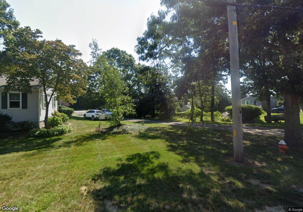
6 Cleveland Cir Bourne, MA 2532
Estimated Value: $703,719 - $801,000
2
Beds
1
Bath
1,796
Sq Ft
$412/Sq Ft
Est. Value
About This Home
This home is located at 6 Cleveland Cir, Bourne, MA 2532 and is currently estimated at $739,180, approximately $411 per square foot. 6 Cleveland Cir is a home located in Barnstable County with nearby schools including Bourne High School, St Margaret Regional School, and Cadence Academy Preschool - Bourne.
Ownership History
Date
Name
Owned For
Owner Type
Purchase Details
Closed on
Jul 23, 2020
Sold by
Oneil Sandra and Oneil Gerald
Bought by
Taveau Horatio S and Taveau Jean L
Current Estimated Value
Home Financials for this Owner
Home Financials are based on the most recent Mortgage that was taken out on this home.
Original Mortgage
$405,000
Outstanding Balance
$358,325
Interest Rate
3.1%
Mortgage Type
New Conventional
Estimated Equity
$380,855
Purchase Details
Closed on
Jul 14, 2017
Sold by
Trant Gail B Est and Diomandes
Bought by
Oneil Sandra and Oneil Gerald
Create a Home Valuation Report for This Property
The Home Valuation Report is an in-depth analysis detailing your home's value as well as a comparison with similar homes in the area
Home Values in the Area
Average Home Value in this Area
Purchase History
| Date | Buyer | Sale Price | Title Company |
|---|---|---|---|
| Taveau Horatio S | $450,000 | None Available | |
| Taveau Horatio S | $450,000 | None Available | |
| Oneil Sandra | -- | -- | |
| Oneil Sandra | -- | -- |
Source: Public Records
Mortgage History
| Date | Status | Borrower | Loan Amount |
|---|---|---|---|
| Open | Taveau Horatio S | $405,000 | |
| Closed | Taveau Horatio S | $405,000 |
Source: Public Records
Tax History Compared to Growth
Tax History
| Year | Tax Paid | Tax Assessment Tax Assessment Total Assessment is a certain percentage of the fair market value that is determined by local assessors to be the total taxable value of land and additions on the property. | Land | Improvement |
|---|---|---|---|---|
| 2025 | $5,233 | $670,000 | $239,400 | $430,600 |
| 2024 | $4,860 | $606,000 | $227,900 | $378,100 |
| 2023 | $4,757 | $539,900 | $201,700 | $338,200 |
| 2022 | $4,493 | $445,300 | $178,500 | $266,800 |
| 2021 | $4,047 | $375,800 | $162,500 | $213,300 |
| 2020 | $3,577 | $333,100 | $160,900 | $172,200 |
| 2019 | $3,600 | $342,500 | $178,800 | $163,700 |
| 2018 | $3,448 | $327,100 | $170,300 | $156,800 |
| 2017 | $3,337 | $324,000 | $168,700 | $155,300 |
| 2016 | $2,937 | $289,100 | $151,800 | $137,300 |
| 2015 | $2,685 | $266,600 | $129,300 | $137,300 |
Source: Public Records
Map
Nearby Homes
- 203 County Rd
- 151 - 153 Main St
- 18 Carlton Rd
- 34 Washington Ave
- 13 Laurel Hill Ct
- 46 Holt Rd
- 46 Holt Rd Unit A
- 18 Douglas Ave
- 12 Beachwood Rd
- 5 Sea Knoll Ct
- 14 Great Rock Rd
- 44 Cotuit Rd
- 56 Rip Van Winkle Way
- 1 Pine Tree Dr
- 26 Carnoustie Rd
- 12 Turnberry Rd Unit 12
- 34 Turnberry Rd
- 3 Fairway Dr Unit F
- 3 Wolf Rd
- 6 Cleveland Cir
- 10 Cleveland Cir
- 10 Cleveland Cir
- 1 Mashnee Rd
- 1 Mashnee Rd
- 12 Cleveland Cir
- 12 Cleveland Cir
- 125 Presidents Rd
- 5 Stackpole Cir
- 5 Mashnee Rd
- 5 Mashnee Rd
- 9 Stackpole Cir
- 11 Cleveland Cir
- 44 Sea Breeze Dr
- 121 Presidents Rd
- 155 President's Rd
- 121 Presidents Rd
- 44 Seabreeze Dr
- 134 Presidents Rd
- 155 Presidents Rd