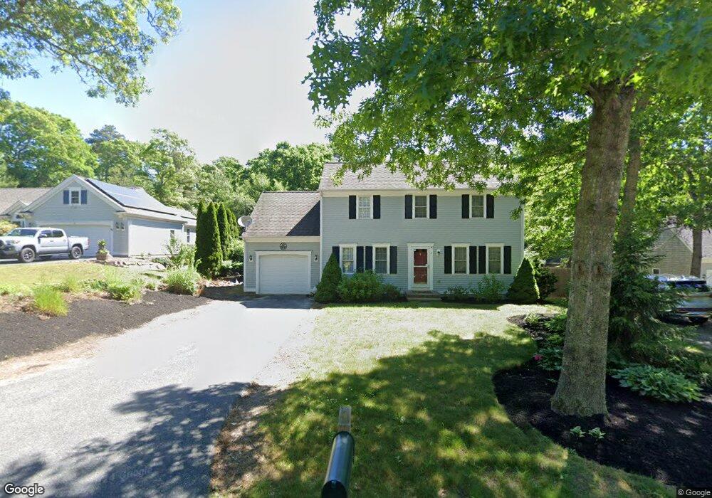
6 Clipper Cir Sandwich, MA 02563
Estimated Value: $416,477 - $637,000
3
Beds
2
Baths
1,428
Sq Ft
$395/Sq Ft
Est. Value
About This Home
This home is located at 6 Clipper Cir, Sandwich, MA 02563 and is currently estimated at $564,119, approximately $395 per square foot. 6 Clipper Cir is a home located in Barnstable County with nearby schools including Sandwich Middle High School and Montessori School of Sandwich.
Ownership History
Date
Name
Owned For
Owner Type
Purchase Details
Closed on
Dec 16, 2014
Sold by
Lima Michelle D and Sullivan Michelle D
Bought by
Buckland Sean T
Current Estimated Value
Home Financials for this Owner
Home Financials are based on the most recent Mortgage that was taken out on this home.
Original Mortgage
$158,710
Outstanding Balance
$121,839
Interest Rate
3.98%
Mortgage Type
New Conventional
Estimated Equity
$442,280
Purchase Details
Closed on
Nov 26, 2008
Sold by
Sullivan Michelle D
Bought by
Sullivan Michelle D and Lima Troy
Purchase Details
Closed on
Oct 29, 2004
Sold by
Southside Rt and Mcshane John
Bought by
Sullivan Michelle D
Home Financials for this Owner
Home Financials are based on the most recent Mortgage that was taken out on this home.
Original Mortgage
$135,000
Interest Rate
5.74%
Mortgage Type
Purchase Money Mortgage
Create a Home Valuation Report for This Property
The Home Valuation Report is an in-depth analysis detailing your home's value as well as a comparison with similar homes in the area
Home Values in the Area
Average Home Value in this Area
Purchase History
| Date | Buyer | Sale Price | Title Company |
|---|---|---|---|
| Buckland Sean T | $163,619 | -- | |
| Sullivan Michelle D | -- | -- | |
| Sullivan Michelle D | $135,000 | -- |
Source: Public Records
Mortgage History
| Date | Status | Borrower | Loan Amount |
|---|---|---|---|
| Open | Buckland Sean T | $158,710 | |
| Previous Owner | Sullivan Michelle D | $135,000 | |
| Previous Owner | Sullivan Michelle D | $2,920 |
Source: Public Records
Tax History Compared to Growth
Tax History
| Year | Tax Paid | Tax Assessment Tax Assessment Total Assessment is a certain percentage of the fair market value that is determined by local assessors to be the total taxable value of land and additions on the property. | Land | Improvement |
|---|---|---|---|---|
| 2025 | $2,427 | $229,600 | $77,000 | $152,600 |
| 2024 | $2,338 | $216,500 | $68,800 | $147,700 |
| 2023 | $2,263 | $196,800 | $62,500 | $134,300 |
| 2022 | $2,196 | $166,900 | $55,800 | $111,100 |
| 2021 | $2,141 | $155,500 | $55,600 | $99,900 |
| 2020 | $2,184 | $152,600 | $55,500 | $97,100 |
| 2019 | $2,095 | $146,300 | $54,500 | $91,800 |
| 2018 | $1,959 | $137,100 | $49,700 | $87,400 |
| 2017 | $1,948 | $130,500 | $48,100 | $82,400 |
| 2016 | $1,858 | $128,400 | $46,500 | $81,900 |
| 2015 | $1,752 | $118,200 | $37,900 | $80,300 |
Source: Public Records
Map
Nearby Homes
- 10 Ryder Cir
- 34 Southpoint Dr
- 17 Southpoint Dr Unit 17C
- 17 Southpoint Dr Unit 17
- 84 Harlow Rd
- 58 Southpoint Dr Unit J
- 23 Pimlico Pond Rd
- 163 Cotuit Rd
- 1 Peggys Ln
- 5 Aviators Ln
- 93 Deerfield Rd
- 96 Pimlico Pond Rd
- 46 Holly Ridge Dr
- 6 Moon Compass Ln
- 3 Glenwood Ln
- 185 Cotuit Rd Unit BE4
- 185 Cotuit Rd Unit MA 5
- 185 Cotuit Rd Unit JP1
- 193 Farmersville Rd