6 Clipper Way Newburyport, MA 01950
Estimated Value: $615,000 - $640,812
2
Beds
3
Baths
1,390
Sq Ft
$455/Sq Ft
Est. Value
About This Home
This home is located at 6 Clipper Way, Newburyport, MA 01950 and is currently estimated at $632,453, approximately $455 per square foot. 6 Clipper Way is a home located in Essex County with nearby schools including Francis T. Bresnahan Elementary School, Edward G. Molin Elementary School, and Rupert A. Nock Middle School.
Ownership History
Date
Name
Owned For
Owner Type
Purchase Details
Closed on
Jul 12, 2017
Sold by
Macfarlane Rt
Bought by
Inveruglas Rt
Current Estimated Value
Purchase Details
Closed on
Dec 26, 2000
Sold by
Enclave Newpt Dev Co
Bought by
Macfarlane Emery B and Macfarlane Olga S
Home Financials for this Owner
Home Financials are based on the most recent Mortgage that was taken out on this home.
Original Mortgage
$223,000
Interest Rate
7.71%
Mortgage Type
Purchase Money Mortgage
Create a Home Valuation Report for This Property
The Home Valuation Report is an in-depth analysis detailing your home's value as well as a comparison with similar homes in the area
Home Values in the Area
Average Home Value in this Area
Purchase History
| Date | Buyer | Sale Price | Title Company |
|---|---|---|---|
| Inveruglas Rt | -- | -- | |
| Macfarlane Emery B | $235,000 | -- |
Source: Public Records
Mortgage History
| Date | Status | Borrower | Loan Amount |
|---|---|---|---|
| Previous Owner | Macfarlane Emery B | $223,000 |
Source: Public Records
Tax History Compared to Growth
Tax History
| Year | Tax Paid | Tax Assessment Tax Assessment Total Assessment is a certain percentage of the fair market value that is determined by local assessors to be the total taxable value of land and additions on the property. | Land | Improvement |
|---|---|---|---|---|
| 2025 | $5,838 | $609,400 | $0 | $609,400 |
| 2024 | $6,093 | $611,100 | $0 | $611,100 |
| 2023 | $5,683 | $529,100 | $0 | $529,100 |
| 2022 | $5,681 | $473,000 | $0 | $473,000 |
| 2021 | $5,550 | $439,100 | $0 | $439,100 |
| 2020 | $5,528 | $430,500 | $0 | $430,500 |
| 2019 | $5,339 | $408,200 | $0 | $408,200 |
| 2018 | $5,312 | $400,600 | $0 | $400,600 |
| 2017 | $4,975 | $369,900 | $0 | $369,900 |
| 2016 | $4,684 | $349,800 | $0 | $349,800 |
| 2015 | $4,465 | $334,700 | $0 | $334,700 |
Source: Public Records
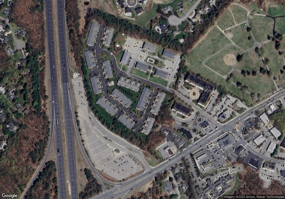
Map
Nearby Homes
- 232 Low St Unit 7
- 8 Hart Rd
- 8 Brown Ave
- 61 Spofford St
- 17 Alberta Ave
- 6 Storey Ave
- 42 Myrtle Ave
- 510 Merrimac St Unit 512
- 572 Merrimac St
- 492 Merrimac St
- 7 Frances Dr
- 19 Jefferson St
- 138 Low St
- 1 Jefferson St
- 110 Low St
- 486 Main St
- 60 Merrimac St Unit 604
- 28 Beacon St
- 35 Merrimac St
- 19 Cutter Ln Unit 19
- 8 Clipper Way
- 14 Clipper Way
- 12 Clipper Way
- 4 Clipper Way
- 2 Clipper Way
- 16 Clipper Way
- 11 Clipper Way
- 9 Clipper Way
- 9 Clipper Way Unit 9
- 5 Clipper Way
- 3 Clipper Way
- 15 Clipper Way
- 13 Clipper Way
- 1 Clipper Way
- 18 Clipper Way
- 5,307B Woodman Way Unit 307B
- 5,207B Woodman Way Unit 207B
- 5,107B Woodman Way Unit 107B
- 5,303B Woodman Way Unit 303B
- 6,112A Woodman Way Unit 112A