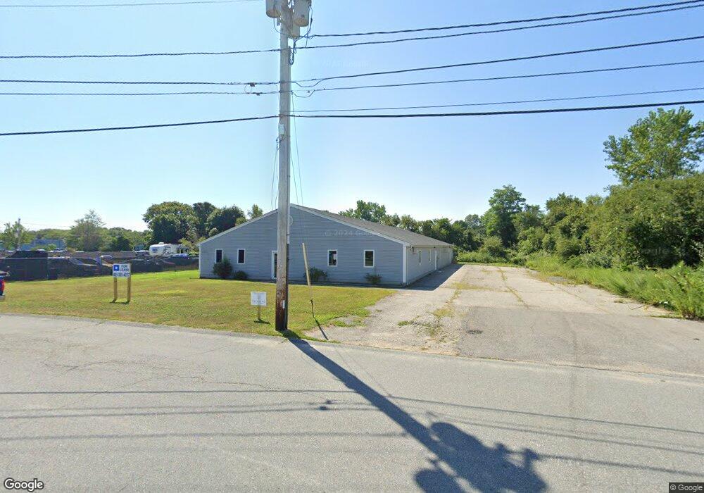
6 Commercial Way Warren, RI 02885
North Warren NeighborhoodEstimated Value: $755,372
--
Bed
4
Baths
7,200
Sq Ft
$105/Sq Ft
Est. Value
About This Home
This home is located at 6 Commercial Way, Warren, RI 02885 and is currently estimated at $755,372, approximately $104 per square foot. 6 Commercial Way is a home located in Bristol County with nearby schools including Mt. Hope High School, Highlander Charter Middle and High School, and East Bay Career Academy.
Ownership History
Date
Name
Owned For
Owner Type
Purchase Details
Closed on
Jan 30, 2024
Sold by
King Peter
Bought by
Comm Way Prop Llc
Current Estimated Value
Purchase Details
Closed on
Apr 11, 2019
Sold by
Jsn Properties Llc
Bought by
Pearson Complex Llc
Purchase Details
Closed on
Mar 7, 2001
Sold by
Accent Prop Llc
Bought by
Jsn Prop Llc
Create a Home Valuation Report for This Property
The Home Valuation Report is an in-depth analysis detailing your home's value as well as a comparison with similar homes in the area
Home Values in the Area
Average Home Value in this Area
Purchase History
| Date | Buyer | Sale Price | Title Company |
|---|---|---|---|
| Comm Way Prop Llc | -- | None Available | |
| Comm Way Prop Llc | -- | None Available | |
| Comm Way Prop Llc | -- | None Available | |
| Pearson Complex Llc | $420,000 | -- | |
| Pearson Complex Llc | $420,000 | -- | |
| Pearson Complex Llc | $420,000 | -- | |
| Jsn Prop Llc | $320,000 | -- | |
| Jsn Prop Llc | $320,000 | -- |
Source: Public Records
Tax History Compared to Growth
Tax History
| Year | Tax Paid | Tax Assessment Tax Assessment Total Assessment is a certain percentage of the fair market value that is determined by local assessors to be the total taxable value of land and additions on the property. | Land | Improvement |
|---|---|---|---|---|
| 2025 | $13,285 | $892,200 | $208,700 | $683,500 |
| 2024 | $8,084 | $559,800 | $171,300 | $388,500 |
| 2023 | $7,647 | $559,800 | $171,300 | $388,500 |
| 2022 | $7,658 | $425,200 | $149,300 | $275,900 |
| 2021 | $7,708 | $435,000 | $149,300 | $285,700 |
| 2020 | $7,552 | $435,000 | $149,300 | $285,700 |
| 2019 | $8,473 | $443,400 | $138,400 | $305,000 |
| 2018 | $8,363 | $443,400 | $138,400 | $305,000 |
| 2017 | $8,340 | $443,400 | $138,400 | $305,000 |
| 2016 | $8,721 | $436,700 | $132,600 | $304,100 |
| 2015 | $8,721 | $436,700 | $132,600 | $304,100 |
| 2014 | $8,765 | $436,700 | $132,600 | $304,100 |
Source: Public Records
Map
Nearby Homes
- 192 Schoolhouse Rd
- 20 Burr Ave
- 0 Lillis Ave
- 13 Kelly St
- 0 Hampden St
- 210 Metacom Ave
- 12 Union St
- 41 N Cornell Ave
- 39 N Cornell Ave
- 27 Christine Dr
- 27 Barney St
- 510 Child St Unit 303A
- 510 Child St Unit 105B
- 510 Child St Unit 201C
- 510 Child St Unit 402B
- 510 Child St Unit 305B
- 21 Federal St
- 0 Old Fall River Rd Unit 73399047
- 10 Jesse Davis Ln
- 115 Market St
- 0 New Industrial Way
- 00 New Industrial Way
- 386 Market St
- 1 New Industrial Way
- 3 New Industrial Way
- 370 Old Market St Unit 2
- 372 Market St
- 370 Market St
- 370 Market St Unit 2
- Lot 33 Market St
- Lot 12-33H Market St
- 4 Market St
- M-4 Lot 2A Market St
- 384 Market St
- 368 Market St
- 23 Brittney Ln
- 21 Brittney Ln
- 366 Market St
- 0 S Market St
- 14 Brittney Ln