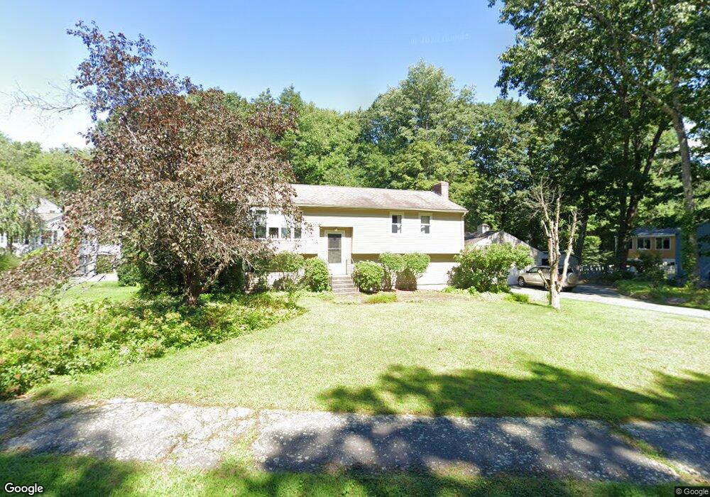
6 Coram Farm Rd Northborough, MA 01532
Estimated Value: $626,000 - $691,882
3
Beds
3
Baths
1,132
Sq Ft
$591/Sq Ft
Est. Value
About This Home
This home is located at 6 Coram Farm Rd, Northborough, MA 01532 and is currently estimated at $668,471, approximately $590 per square foot. 6 Coram Farm Rd is a home located in Worcester County with nearby schools including Marion E. Zeh Elementary School, Robert E. Melican Middle School, and Algonquin Regional High School.
Ownership History
Date
Name
Owned For
Owner Type
Purchase Details
Closed on
Jul 22, 2005
Sold by
Richards Pamela
Bought by
Delaney Christopher J and Delaney Michelle E
Current Estimated Value
Home Financials for this Owner
Home Financials are based on the most recent Mortgage that was taken out on this home.
Original Mortgage
$270,000
Outstanding Balance
$140,305
Interest Rate
5.59%
Mortgage Type
Purchase Money Mortgage
Estimated Equity
$528,166
Create a Home Valuation Report for This Property
The Home Valuation Report is an in-depth analysis detailing your home's value as well as a comparison with similar homes in the area
Home Values in the Area
Average Home Value in this Area
Purchase History
| Date | Buyer | Sale Price | Title Company |
|---|---|---|---|
| Delaney Christopher J | $442,500 | -- |
Source: Public Records
Mortgage History
| Date | Status | Borrower | Loan Amount |
|---|---|---|---|
| Open | Delaney Christopher J | $270,000 |
Source: Public Records
Tax History Compared to Growth
Tax History
| Year | Tax Paid | Tax Assessment Tax Assessment Total Assessment is a certain percentage of the fair market value that is determined by local assessors to be the total taxable value of land and additions on the property. | Land | Improvement |
|---|---|---|---|---|
| 2025 | $8,945 | $627,700 | $296,500 | $331,200 |
| 2024 | $7,925 | $555,000 | $236,700 | $318,300 |
| 2023 | $7,774 | $525,600 | $223,100 | $302,500 |
| 2022 | $7,580 | $459,700 | $212,600 | $247,100 |
| 2021 | $6,688 | $427,700 | $193,400 | $234,300 |
| 2020 | $7,188 | $416,700 | $182,500 | $234,200 |
| 2019 | $7,004 | $408,400 | $177,200 | $231,200 |
| 2018 | $5,400 | $387,900 | $173,500 | $214,400 |
| 2017 | $5,162 | $369,700 | $173,500 | $196,200 |
| 2016 | $6,087 | $354,500 | $170,100 | $184,400 |
| 2015 | $6,588 | $393,800 | $178,200 | $215,600 |
| 2014 | $6,581 | $396,700 | $178,200 | $218,500 |
Source: Public Records
Map
Nearby Homes
- 23 Valentine Rd
- 97 Howard St
- 107 Washburn St
- 21 Pleasant St
- 86 Whitney St
- 460 Whitney St
- 122 Green St
- 281 Whitney St
- 39 Pleasant St Unit A6
- 39 Pleasant St Unit C5
- 200 Green St
- 4 Country Candle Ln Unit 4
- 90 W Main St
- 377 Howard St
- 14 Mill St
- 33 Woodstone Rd
- 105 Lincoln St
- 6 Macalister Dr
- 81 West St
- 89 W Main St
- 10 Coram Farm Rd
- 2 Coram Farm Rd
- 2 Coram Farm Rd Unit 2
- 5 Coram Farm Rd
- 9 Coram Farm Rd
- 13 Coram Farm Rd
- 32 Valentine Rd
- 18 Valentine Rd
- 14 Valentine Rd
- 27 Valentine Rd
- 36 Valentine Rd
- 31 Valentine Rd
- 17 Valentine Rd
- 10 Valentine Rd
- 15 Valentine Rd
- 40 Valentine Rd
- 35 Valentine Rd
- 12 Coram Farm Rd
- 9 Valentine Rd
- 6 Valentine Rd