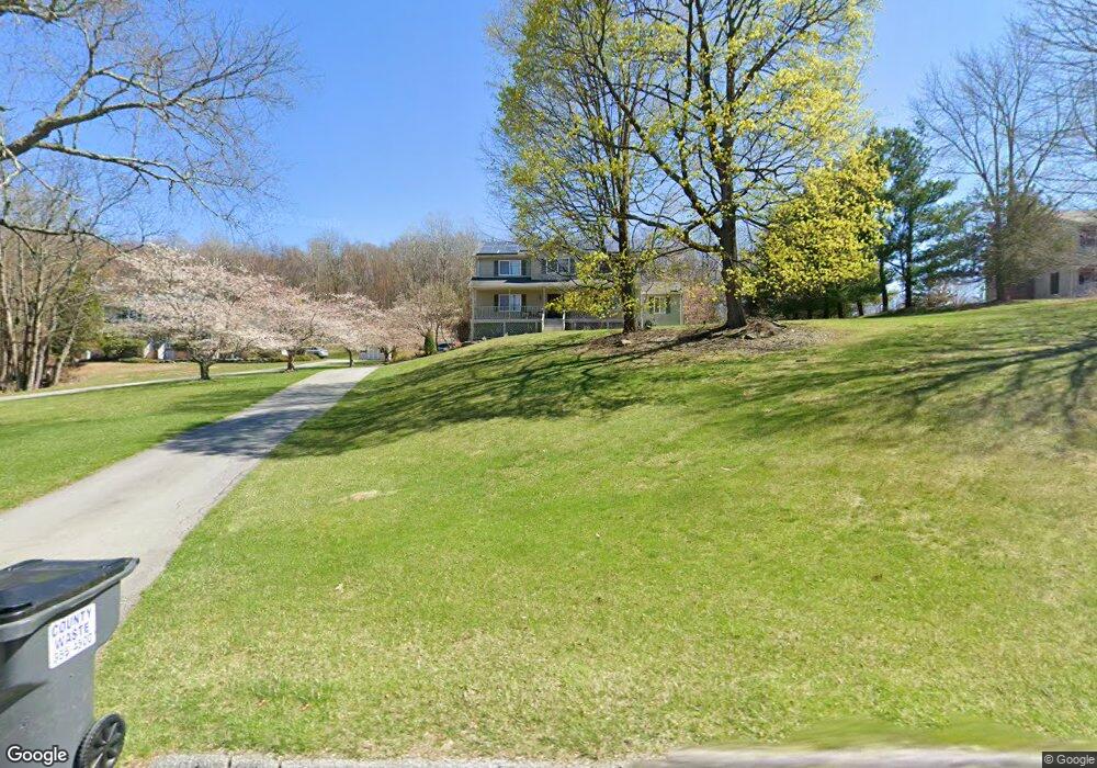
6 Cortland Dr Unit 6D Warwick, NY 10990
Estimated Value: $693,019 - $876,000
4
Beds
3
Baths
2,644
Sq Ft
$286/Sq Ft
Est. Value
About This Home
This home is located at 6 Cortland Dr Unit 6D, Warwick, NY 10990 and is currently estimated at $755,255, approximately $285 per square foot. 6 Cortland Dr Unit 6D is a home located in Orange County with nearby schools including Warwick Valley Middle School and Warwick Valley High School.
Ownership History
Date
Name
Owned For
Owner Type
Purchase Details
Closed on
Jul 26, 2000
Sold by
Massimi Gregory G and Massimi Lisa M
Bought by
Kohanski Karen
Current Estimated Value
Home Financials for this Owner
Home Financials are based on the most recent Mortgage that was taken out on this home.
Original Mortgage
$27,395
Outstanding Balance
$9,821
Interest Rate
8.06%
Estimated Equity
$745,434
Purchase Details
Closed on
Mar 6, 1994
Sold by
Ronstein Construction Corp
Bought by
Starer Michael and Starer Pamela
Create a Home Valuation Report for This Property
The Home Valuation Report is an in-depth analysis detailing your home's value as well as a comparison with similar homes in the area
Home Values in the Area
Average Home Value in this Area
Purchase History
| Date | Buyer | Sale Price | Title Company |
|---|---|---|---|
| Kohanski Karen | $28,840 | First American Title Ins Co | |
| Starer Michael | $228,000 | -- |
Source: Public Records
Mortgage History
| Date | Status | Borrower | Loan Amount |
|---|---|---|---|
| Open | Kohanski Karen | $27,395 |
Source: Public Records
Tax History
| Year | Tax Paid | Tax Assessment Tax Assessment Total Assessment is a certain percentage of the fair market value that is determined by local assessors to be the total taxable value of land and additions on the property. | Land | Improvement |
|---|---|---|---|---|
| 2024 | $12,547 | $55,600 | $14,000 | $41,600 |
| 2023 | $12,547 | $55,600 | $14,000 | $41,600 |
| 2022 | $12,317 | $55,600 | $14,000 | $41,600 |
| 2021 | $12,508 | $55,600 | $14,000 | $41,600 |
| 2020 | $12,461 | $55,600 | $14,000 | $41,600 |
| 2019 | $11,182 | $55,600 | $14,000 | $41,600 |
| 2018 | $11,182 | $55,600 | $14,000 | $41,600 |
| 2017 | $10,890 | $55,600 | $14,000 | $41,600 |
| 2016 | $10,684 | $55,600 | $14,000 | $41,600 |
| 2015 | -- | $55,600 | $14,000 | $41,600 |
| 2014 | -- | $55,600 | $14,000 | $41,600 |
Source: Public Records
Map
Nearby Homes
- 77 Pine Island Turnpike
- 91 Distillery Rd
- 81 Pine Island Turnpike
- 1 Jessup Rd
- 49 Maple Ave
- 180 West St
- 15 Village Cove
- 28 Brady Rd
- 0 State Route 94 S Unit KEY829812
- 10 Howe St
- 42 Colonial Ave
- 26 High St
- 63 Colonial Ave
- 7 Edenville Rd
- 0 Ackerman Rd
- 26 Waterbury Rd
- 0 Old Ridge Rd
- 17 Cropsey St Unit 1D
- 2 Sly St
- 43 Points of View
- 4 Cortland Dr
- 8 Cortland Dr
- 10 Cortland Dr
- 5 Cortland Dr
- 7 Whitefield Ave
- 7 Cortland Dr
- 11 Cortland Dr
- 5 Whitefield Ave
- 9 Whitefield Ave
- 9 Cortland Dr
- 3 Whitefield Ave Unit 6B
- 41 Panorama Dr
- 6 Whitefield Ave
- 8 Whitefield Ave
- 12 Whitefield Ave
- 10 Whitefield Ave
- 4 Whitefield Ave
- 39 Panorama Dr
- 26 Whitefield Ave
- 29 Panorama Dr
Your Personal Tour Guide
Ask me questions while you tour the home.