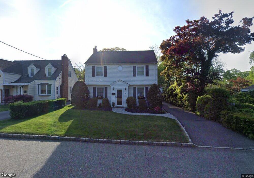
6 Cortland St Roseland, NJ 07068
Estimated Value: $680,000 - $773,000
--
Bed
--
Bath
1,685
Sq Ft
$425/Sq Ft
Est. Value
About This Home
This home is located at 6 Cortland St, Roseland, NJ 07068 and is currently estimated at $716,313, approximately $425 per square foot. 6 Cortland St is a home located in Essex County with nearby schools including Lester C. Noecker Elementary School, West Essex Middle School, and West Essex High School.
Ownership History
Date
Name
Owned For
Owner Type
Purchase Details
Closed on
Jun 16, 2008
Sold by
Decoster Mary Ellen
Bought by
Martino Michael A and Martino Melissa
Current Estimated Value
Home Financials for this Owner
Home Financials are based on the most recent Mortgage that was taken out on this home.
Original Mortgage
$359,100
Outstanding Balance
$229,666
Interest Rate
6.07%
Mortgage Type
Purchase Money Mortgage
Estimated Equity
$486,647
Create a Home Valuation Report for This Property
The Home Valuation Report is an in-depth analysis detailing your home's value as well as a comparison with similar homes in the area
Home Values in the Area
Average Home Value in this Area
Purchase History
| Date | Buyer | Sale Price | Title Company |
|---|---|---|---|
| Martino Michael A | $399,000 | None Available |
Source: Public Records
Mortgage History
| Date | Status | Borrower | Loan Amount |
|---|---|---|---|
| Open | Martino Michael A | $359,100 |
Source: Public Records
Tax History Compared to Growth
Tax History
| Year | Tax Paid | Tax Assessment Tax Assessment Total Assessment is a certain percentage of the fair market value that is determined by local assessors to be the total taxable value of land and additions on the property. | Land | Improvement |
|---|---|---|---|---|
| 2025 | $8,056 | $545,400 | $301,800 | $243,600 |
| 2024 | $8,056 | $545,400 | $301,800 | $243,600 |
| 2022 | $8,126 | $348,000 | $205,700 | $142,300 |
| 2021 | $8,014 | $348,000 | $205,700 | $142,300 |
| 2020 | $7,987 | $348,000 | $205,700 | $142,300 |
| 2019 | $7,914 | $348,000 | $205,700 | $142,300 |
| 2018 | $7,844 | $348,000 | $205,700 | $142,300 |
| 2017 | $7,840 | $348,000 | $205,700 | $142,300 |
| 2016 | $7,719 | $348,000 | $205,700 | $142,300 |
| 2015 | $7,736 | $348,000 | $205,700 | $142,300 |
| 2014 | $7,520 | $348,000 | $205,700 | $142,300 |
Source: Public Records
Map
Nearby Homes
- 194 Eagle Rock Ave
- 201 Eagle Rock Ave
- 34 Lincoln St
- 58 Leonard Terrace
- 27-29 Roseland Ave
- 14 Mitchell Ave
- 4 Williamsburg Dr
- 9 Roseland Ave
- 11 Monroe Ave
- 192 Eagle Rock Ave
- 39 Schweinberg Dr Unit 2039
- 331 Roseland Ave
- 30 Schweinberg Dr
- 37 Dalewood Rd
- 5 Beechtree Ln
- 26 Bovensiepen Ct
- 26 Bovensiepen Ct Unit 3526
- 88 Kent Dr Unit C0176
- 131 Rensselaer Rd
- 356 Fells Rd
- 4 Cortland St
- 16 Cortland St
- 18 Cortland St
- 20 Cortland St
- 7 Cortland St
- 9 Cortland St
- 5 Cortland St
- 11 Cortland St
- 194 Eagle Rock Ave Unit 1
- 208 Eagle Rock Ave
- 15 Cortland St
- 22 Cortland St
- 24 Cortland St
- 17 Cortland St
- 199 Eagle Rock Ave
- 190 Eagle Rock Ave Unit 1
- 197 Eagle Rock Ave
- 32 Park St
- 203 Eagle Rock Ave
- 205 Eagle Rock Ave