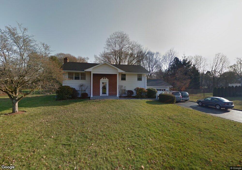
6 Cottontail Rd Norwalk, CT 06854
Brookside NeighborhoodEstimated Value: $747,000 - $1,061,000
5
Beds
4
Baths
1,400
Sq Ft
$630/Sq Ft
Est. Value
About This Home
This home is located at 6 Cottontail Rd, Norwalk, CT 06854 and is currently estimated at $882,088, approximately $630 per square foot. 6 Cottontail Rd is a home located in Fairfield County with nearby schools including Brookside Elementary School, Roton Middle School, and Brien Mcmahon High School.
Ownership History
Date
Name
Owned For
Owner Type
Purchase Details
Closed on
Oct 19, 2006
Sold by
Bria Flora G
Bought by
Thorres Silvia S
Current Estimated Value
Home Financials for this Owner
Home Financials are based on the most recent Mortgage that was taken out on this home.
Original Mortgage
$464,000
Outstanding Balance
$277,337
Interest Rate
6.49%
Mortgage Type
Purchase Money Mortgage
Estimated Equity
$604,751
Create a Home Valuation Report for This Property
The Home Valuation Report is an in-depth analysis detailing your home's value as well as a comparison with similar homes in the area
Home Values in the Area
Average Home Value in this Area
Purchase History
| Date | Buyer | Sale Price | Title Company |
|---|---|---|---|
| Thorres Silvia S | $580,000 | -- | |
| Thorres Silvia S | $580,000 | -- |
Source: Public Records
Mortgage History
| Date | Status | Borrower | Loan Amount |
|---|---|---|---|
| Open | Thorres Silvia S | $464,000 | |
| Closed | Thorres Silvia S | $464,000 |
Source: Public Records
Tax History Compared to Growth
Tax History
| Year | Tax Paid | Tax Assessment Tax Assessment Total Assessment is a certain percentage of the fair market value that is determined by local assessors to be the total taxable value of land and additions on the property. | Land | Improvement |
|---|---|---|---|---|
| 2025 | $11,166 | $466,280 | $233,290 | $232,990 |
| 2024 | $11,000 | $466,280 | $233,290 | $232,990 |
| 2023 | $9,652 | $383,610 | $197,400 | $186,210 |
| 2022 | $9,472 | $383,610 | $197,400 | $186,210 |
| 2021 | $9,226 | $383,610 | $197,400 | $186,210 |
| 2020 | $9,221 | $383,610 | $197,400 | $186,210 |
| 2019 | $8,963 | $383,610 | $197,400 | $186,210 |
| 2018 | $9,404 | $352,700 | $204,950 | $147,750 |
| 2017 | $9,081 | $352,700 | $204,950 | $147,750 |
| 2016 | $9,014 | $353,500 | $204,950 | $148,550 |
| 2015 | $8,969 | $352,700 | $204,950 | $147,750 |
| 2014 | $8,853 | $352,700 | $204,950 | $147,750 |
Source: Public Records
Map
Nearby Homes
- 5 Wakeman Rd
- 19 Woodchuck Ct
- 9 Hollow Spring Rd
- 105 Richards Ave Unit 2305
- 97 Richards Ave Unit B10
- 97 Richards Ave Unit E12
- 40 Arnold Ln
- 19 Littlebrook Rd
- 7 Hadik Pkwy
- 13 Joemar Rd
- 133 Rowayton Woods Dr
- 171 Rowayton Woods Dr Unit 171
- 47 Glasser St
- 39 Chatham Dr
- 10 Pine Brook Ln
- 17 Woodlawn Ave
- 17 Pine Brook Ln Unit 17
- 9 Observatory Place Unit A
- 181 Highland Ave
- 5 Rockland Rd Unit A8
- 4 Cottontail Rd
- 10 Cottontail Rd
- 27 Pheasant Ln
- 25 Pheasant Ln
- 5 Cottontail Rd
- 3 Cottontail Rd
- 7 Cottontail Rd
- 2 Cottontail Rd
- 502 Flax Hill Rd
- 498 Flax Hill Rd
- 1 Cottontail Rd
- 9 Cottontail Rd
- 16 Cottontail Rd
- 435 Rowayton Ave
- 26 Pheasant Ln
- 526 Flax Hill Rd
- 11 Cottontail Rd
- 433 Rowayton Ave
- 20 Cottontail Rd
- 528 Flax Hill Rd