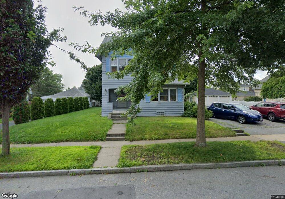
6 Coventry Rd Worcester, MA 01606
Burncoat NeighborhoodEstimated Value: $567,463 - $729,000
6
Beds
2
Baths
3,626
Sq Ft
$185/Sq Ft
Est. Value
About This Home
This home is located at 6 Coventry Rd, Worcester, MA 01606 and is currently estimated at $671,116, approximately $185 per square foot. 6 Coventry Rd is a home located in Worcester County with nearby schools including Jacob Hiatt Magnet School, Chandler Magnet, and Thorndyke Road School.
Create a Home Valuation Report for This Property
The Home Valuation Report is an in-depth analysis detailing your home's value as well as a comparison with similar homes in the area
Home Values in the Area
Average Home Value in this Area
Tax History
| Year | Tax Paid | Tax Assessment Tax Assessment Total Assessment is a certain percentage of the fair market value that is determined by local assessors to be the total taxable value of land and additions on the property. | Land | Improvement |
|---|---|---|---|---|
| 2025 | $6,799 | $515,500 | $117,500 | $398,000 |
| 2024 | $7,455 | $542,200 | $117,500 | $424,700 |
| 2023 | $6,972 | $486,200 | $102,200 | $384,000 |
| 2022 | $6,428 | $422,600 | $81,800 | $340,800 |
| 2021 | $5,638 | $346,300 | $65,400 | $280,900 |
| 2020 | $5,285 | $310,900 | $65,400 | $245,500 |
| 2019 | $5,306 | $294,800 | $58,800 | $236,000 |
| 2018 | $5,189 | $274,400 | $58,800 | $215,600 |
| 2017 | $4,943 | $257,200 | $58,800 | $198,400 |
| 2016 | $4,899 | $237,700 | $42,700 | $195,000 |
| 2015 | $4,771 | $237,700 | $42,700 | $195,000 |
| 2014 | $4,645 | $237,700 | $42,700 | $195,000 |
Source: Public Records
Map
Nearby Homes
- 169 Whitmarsh Ave
- 94 Kendrick Ave
- 331 Burncoat St
- 66 Eunice Ave
- 39 Whitmarsh Ave
- 58 Osceola Ave
- 18 Gosnold St
- 248 Saint Nicholas Ave
- 3205 Halcyon Dr Unit 3205
- 2101 Halcyon Dr Unit 2101
- 110 Beverly Rd
- 100 Burncoat St
- 25 Kenwood Ave
- 30 Danielles Way
- 18 Danielles Way
- 6 Ashburnham Rd
- 44 Boardman St
- 36 Melrose St
- 93 Blue Bell Rd
- 63 Cobblestone Ln Unit 63
Your Personal Tour Guide
Ask me questions while you tour the home.