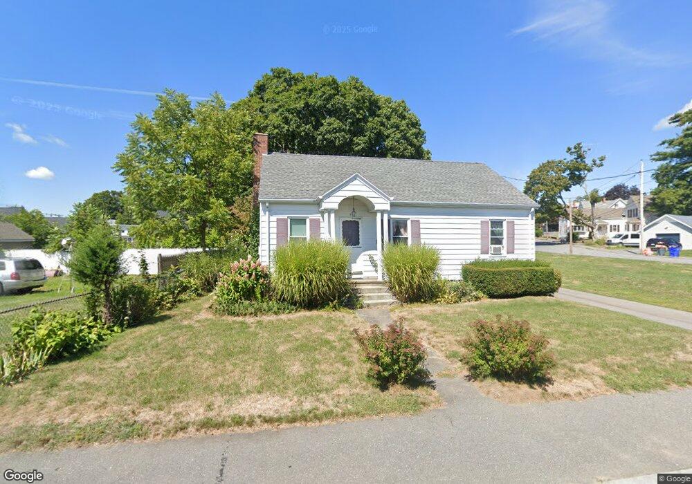
6 Danforth St Taunton, MA 02780
Whittenton Junction NeighborhoodEstimated Value: $419,669 - $485,000
3
Beds
1
Bath
1,144
Sq Ft
$397/Sq Ft
Est. Value
About This Home
This home is located at 6 Danforth St, Taunton, MA 02780 and is currently estimated at $453,917, approximately $396 per square foot. 6 Danforth St is a home located in Bristol County with nearby schools including H. H. Galligan School, Benjamin Friedman Middle School, and Taunton High School.
Ownership History
Date
Name
Owned For
Owner Type
Purchase Details
Closed on
May 3, 2004
Sold by
Driscoll Catherine and Deschenes Elizabeth A
Bought by
Johnson Ernest R and Johnson Lynn
Current Estimated Value
Home Financials for this Owner
Home Financials are based on the most recent Mortgage that was taken out on this home.
Original Mortgage
$245,100
Outstanding Balance
$113,784
Interest Rate
5.36%
Mortgage Type
Purchase Money Mortgage
Estimated Equity
$340,133
Create a Home Valuation Report for This Property
The Home Valuation Report is an in-depth analysis detailing your home's value as well as a comparison with similar homes in the area
Home Values in the Area
Average Home Value in this Area
Purchase History
| Date | Buyer | Sale Price | Title Company |
|---|---|---|---|
| Johnson Ernest R | $258,000 | -- |
Source: Public Records
Mortgage History
| Date | Status | Borrower | Loan Amount |
|---|---|---|---|
| Open | Johnson Ernest R | $245,100 |
Source: Public Records
Tax History
| Year | Tax Paid | Tax Assessment Tax Assessment Total Assessment is a certain percentage of the fair market value that is determined by local assessors to be the total taxable value of land and additions on the property. | Land | Improvement |
|---|---|---|---|---|
| 2025 | $3,464 | $316,600 | $101,800 | $214,800 |
| 2024 | $3,207 | $286,600 | $101,800 | $184,800 |
| 2023 | $3,156 | $261,900 | $101,800 | $160,100 |
| 2022 | $3,013 | $228,600 | $84,900 | $143,700 |
| 2021 | $2,870 | $202,100 | $77,200 | $124,900 |
| 2020 | $2,880 | $193,800 | $77,200 | $116,600 |
| 2019 | $2,925 | $185,600 | $77,200 | $108,400 |
| 2018 | $2,724 | $173,300 | $77,600 | $95,700 |
| 2017 | $2,624 | $167,000 | $73,600 | $93,400 |
| 2016 | $2,550 | $162,600 | $71,400 | $91,200 |
| 2015 | $2,454 | $163,500 | $71,100 | $92,400 |
| 2014 | $2,341 | $160,200 | $70,100 | $90,100 |
Source: Public Records
Map
Nearby Homes
- 99 Tremont St
- 108 Tremont St
- 26 Fremont St
- 19 Crapo St
- 41 Fremont St
- 60 Danforth St
- 23 Granite St
- 17 Anawan St
- 4 Pine St
- 40 Filipe Way Unit B
- 68 Fremont St
- 110 Eldridge St Unit B
- 193 Tremont St Unit 85
- 214 Eldridge St
- 161 Cohannet St
- 92 Broadway
- 99 Winthrop St
- 399 Danforth St
- 111 Dunbar St
- 303 Cohannet St
- 93 Tremont St
- 93 Tremont St Unit 2
- 93 Tremont St Unit 1
- 93 Tremont St Unit 3
- 6 Maxwell St
- 95 Tremont St
- 95 Tremont St
- 10 Danforth St
- 5 Danforth St
- 3 Danforth St
- 8 Maxwell St
- 8 Maxwell St
- 8 Maxwell St Unit 2
- 8 Maxwell St Unit 1
- 35 4th St
- 35 4th St
- 7 Danforth St
- 12 Danforth St
- 7 Maxwell St
- 10 Maxwell St
Your Personal Tour Guide
Ask me questions while you tour the home.