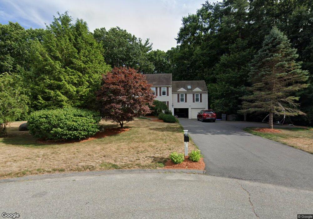
6 Daniels Rd Medway, MA 02053
Estimated Value: $789,263 - $918,000
4
Beds
3
Baths
2,966
Sq Ft
$288/Sq Ft
Est. Value
About This Home
This home is located at 6 Daniels Rd, Medway, MA 02053 and is currently estimated at $855,066, approximately $288 per square foot. 6 Daniels Rd is a home located in Norfolk County with nearby schools including John D. McGovern Elementary School, Burke-Memorial Elementary, and Medway Middle School.
Ownership History
Date
Name
Owned For
Owner Type
Purchase Details
Closed on
Jun 30, 2008
Sold by
Peng Marcia M
Bought by
Mcadams James and Mcadams Jacqueline
Current Estimated Value
Home Financials for this Owner
Home Financials are based on the most recent Mortgage that was taken out on this home.
Original Mortgage
$320,000
Outstanding Balance
$206,441
Interest Rate
6.07%
Mortgage Type
Purchase Money Mortgage
Estimated Equity
$648,625
Create a Home Valuation Report for This Property
The Home Valuation Report is an in-depth analysis detailing your home's value as well as a comparison with similar homes in the area
Home Values in the Area
Average Home Value in this Area
Purchase History
| Date | Buyer | Sale Price | Title Company |
|---|---|---|---|
| Mcadams James | $457,500 | -- |
Source: Public Records
Mortgage History
| Date | Status | Borrower | Loan Amount |
|---|---|---|---|
| Open | Mcadams James | $320,000 |
Source: Public Records
Tax History Compared to Growth
Tax History
| Year | Tax Paid | Tax Assessment Tax Assessment Total Assessment is a certain percentage of the fair market value that is determined by local assessors to be the total taxable value of land and additions on the property. | Land | Improvement |
|---|---|---|---|---|
| 2025 | $9,777 | $686,100 | $323,400 | $362,700 |
| 2024 | $9,880 | $686,100 | $323,400 | $362,700 |
| 2023 | $9,808 | $615,300 | $294,300 | $321,000 |
| 2022 | $8,800 | $519,800 | $217,600 | $302,200 |
| 2021 | $8,711 | $498,900 | $203,100 | $295,800 |
| 2020 | $8,533 | $487,600 | $203,100 | $284,500 |
| 2019 | $8,057 | $474,800 | $194,800 | $280,000 |
| 2018 | $8,120 | $459,800 | $186,600 | $273,200 |
| 2017 | $8,084 | $451,100 | $182,400 | $268,700 |
| 2016 | $7,907 | $436,600 | $167,900 | $268,700 |
| 2015 | $8,100 | $444,100 | $165,800 | $278,300 |
| 2014 | $7,796 | $413,800 | $165,800 | $248,000 |
Source: Public Records
Map
Nearby Homes
- 176 Main St Unit 3
- 6 Freedom Trail
- 5 Fales St
- 220 Main St Unit 220
- 28 Wellington St
- 14 Heritage Dr
- 280 Village St Unit D2
- 4 Shaw St
- 21 Riverside Rd
- 39 West St
- 22 Sunset Dr
- 12 Longmeadow Ln
- 36 Lovering St
- 15 Broad Acres Farm Rd
- 462 Hartford Ave
- 12 Lovering St
- 18 Mary Anne Dr
- 455 Hartford Ave
- 3 Meryl St
- 4 Deerfield Rd