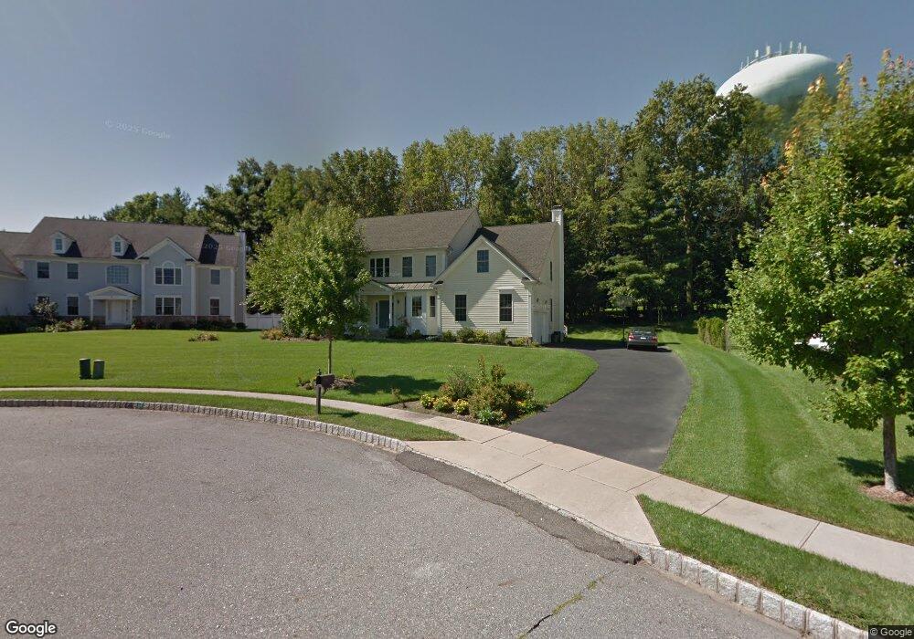
6 David Dr Whippany, NJ 07981
Estimated Value: $1,073,559 - $1,353,000
Studio
--
Bath
3,306
Sq Ft
$378/Sq Ft
Est. Value
About This Home
This home is located at 6 David Dr, Whippany, NJ 07981 and is currently estimated at $1,250,390, approximately $378 per square foot. 6 David Dr is a home located in Morris County with nearby schools including Whippany Park High School, Arrow Academy, and The Morristown-Beard School.
Ownership History
Date
Name
Owned For
Owner Type
Purchase Details
Closed on
Jan 27, 2006
Sold by
Forest Hill Developers Llc
Bought by
Patel Mukesh K and Patel Sneha P
Current Estimated Value
Home Financials for this Owner
Home Financials are based on the most recent Mortgage that was taken out on this home.
Original Mortgage
$680,000
Outstanding Balance
$382,132
Interest Rate
6.17%
Mortgage Type
New Conventional
Estimated Equity
$868,258
Create a Home Valuation Report for This Property
The Home Valuation Report is an in-depth analysis detailing your home's value as well as a comparison with similar homes in the area
Home Values in the Area
Average Home Value in this Area
Purchase History
| Date | Buyer | Sale Price | Title Company |
|---|---|---|---|
| Patel Mukesh K | $877,937 | -- |
Source: Public Records
Mortgage History
| Date | Status | Borrower | Loan Amount |
|---|---|---|---|
| Open | Patel Mukesh K | $680,000 |
Source: Public Records
Tax History
| Year | Tax Paid | Tax Assessment Tax Assessment Total Assessment is a certain percentage of the fair market value that is determined by local assessors to be the total taxable value of land and additions on the property. | Land | Improvement |
|---|---|---|---|---|
| 2025 | $13,982 | $663,300 | $231,100 | $432,200 |
| 2024 | $13,923 | $663,300 | $231,100 | $432,200 |
Source: Public Records
Map
Nearby Homes
- 7 Manchester Dr
- 4 Forest Hill Ct
- 100 Troy Hills Rd
- 30 Polhemus Terrace
- 100 Louis St
- 115 Griffith Dr
- 00 Algonquin Pkwy
- 96 Parsippany Rd
- 25 Washington Ave
- 9 Nantes Rd
- 144 Preston Rd
- 19 Trouville Dr
- 140 Sunrise Dr
- 7 Madeleine Place
- 9 Cherbourg Rd
- 1 Glenbrook Ct
- 17 Iron Forge Rd
- 72 Schindler Ct
- 30 Reynolds Ave
- 2903 Appleton Way Unit 2903
Your Personal Tour Guide
Ask me questions while you tour the home.