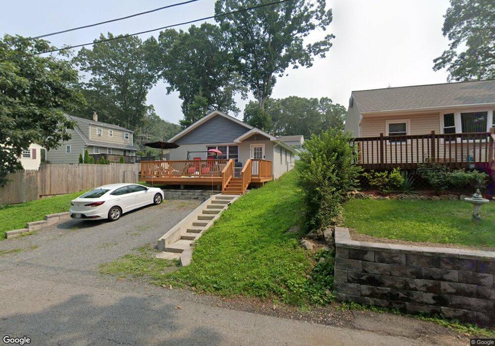
6 David Rd Stanhope, NJ 07874
Estimated Value: $304,000 - $376,000
Studio
--
Bath
936
Sq Ft
$356/Sq Ft
Est. Value
About This Home
This home is located at 6 David Rd, Stanhope, NJ 07874 and is currently estimated at $333,003, approximately $355 per square foot. 6 David Rd is a home located in Sussex County with nearby schools including Durban Avenue Elementary School, Hudson Maxim Elementary School, and Tulsa Trail Elementary School.
Ownership History
Date
Name
Owned For
Owner Type
Purchase Details
Closed on
Aug 24, 2020
Sold by
Sussex County Habitat/Humanity and Sussex County Habitat For Humanity
Bought by
Lassiter Denise A
Current Estimated Value
Purchase Details
Closed on
Feb 15, 2018
Sold by
Wiarda John R and Wiarda Dean R
Bought by
Sussex County Habitat For Humanity Inc
Purchase Details
Closed on
Jan 23, 2018
Sold by
Wiarda John R and The Esatsr Of Agnes M Wiarda
Bought by
Wiarda John R and Wiarda Dcan R
Create a Home Valuation Report for This Property
The Home Valuation Report is an in-depth analysis detailing your home's value as well as a comparison with similar homes in the area
Home Values in the Area
Average Home Value in this Area
Purchase History
| Date | Buyer | Sale Price | Title Company |
|---|---|---|---|
| Lassiter Denise A | $133,000 | Old Republic Title | |
| Sussex County Habitat For Humanity Inc | -- | None Available | |
| Wiarda John R | -- | Sunrise Title Services Inc |
Source: Public Records
Tax History
| Year | Tax Paid | Tax Assessment Tax Assessment Total Assessment is a certain percentage of the fair market value that is determined by local assessors to be the total taxable value of land and additions on the property. | Land | Improvement |
|---|---|---|---|---|
| 2025 | $5,240 | $251,300 | $103,600 | $147,700 |
| 2024 | $4,654 | $251,300 | $103,600 | $147,700 |
| 2023 | $4,654 | $133,000 | $65,800 | $67,200 |
| 2022 | $4,562 | $133,000 | $65,800 | $67,200 |
| 2021 | $4,485 | $133,000 | $65,800 | $67,200 |
| 2020 | $774 | $23,200 | $13,200 | $10,000 |
| 2019 | $439 | $13,200 | $13,200 | $0 |
| 2018 | $438 | $13,200 | $13,200 | $0 |
| 2017 | $437 | $13,200 | $13,200 | $0 |
| 2016 | $438 | $13,200 | $13,200 | $0 |
| 2015 | $428 | $13,200 | $13,200 | $0 |
| 2014 | $427 | $13,200 | $13,200 | $0 |
Source: Public Records
Map
Nearby Homes
- 93 Frances Ave
- 36 Ruth St
- 322 Flora Ave
- 4 Regina Ave
- 3 Canfield St
- 11 Wills Ave
- 49 Frances Ave
- 5 Flora Ave
- 6 Flora Ave
- 35 Brendona Ave
- 117 Brendona Ave
- 55 Lakeside Blvd
- 206 Brooklyn Mountain Rd
- 214 Durban Ave
- 127 W End Ave
- 0 Swayze Pl Lawrence Ave
- 305 Kingsland Rd
- 4 Lloyd Ave
- 22 Lloyd Ave
- 0 Lawrence Ave
Your Personal Tour Guide
Ask me questions while you tour the home.