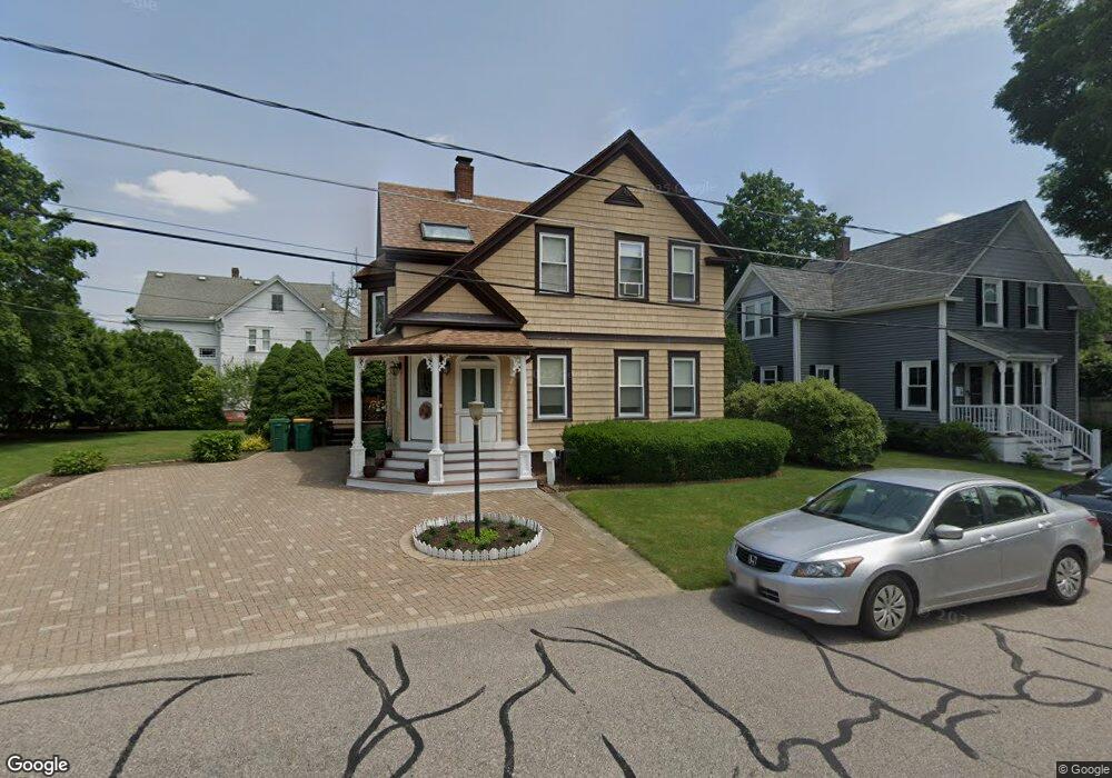
6 Davis St Mansfield, MA 02048
Estimated Value: $613,000 - $656,000
3
Beds
3
Baths
1,472
Sq Ft
$431/Sq Ft
Est. Value
About This Home
This home is located at 6 Davis St, Mansfield, MA 02048 and is currently estimated at $634,560, approximately $431 per square foot. 6 Davis St is a home located in Bristol County with nearby schools including Everett W. Robinson Elementary School, Jordan/Jackson Elementary School, and Harold L. Qualters Middle School.
Create a Home Valuation Report for This Property
The Home Valuation Report is an in-depth analysis detailing your home's value as well as a comparison with similar homes in the area
Home Values in the Area
Average Home Value in this Area
Tax History
| Year | Tax Paid | Tax Assessment Tax Assessment Total Assessment is a certain percentage of the fair market value that is determined by local assessors to be the total taxable value of land and additions on the property. | Land | Improvement |
|---|---|---|---|---|
| 2025 | $6,979 | $529,900 | $224,900 | $305,000 |
| 2024 | $6,935 | $513,700 | $224,900 | $288,800 |
| 2023 | $6,666 | $473,100 | $224,900 | $248,200 |
| 2022 | $6,597 | $434,900 | $208,200 | $226,700 |
| 2021 | $2,964 | $400,700 | $182,200 | $218,500 |
| 2020 | $4,540 | $363,100 | $173,500 | $189,600 |
| 2019 | $5,469 | $359,300 | $144,600 | $214,700 |
| 2018 | $2,646 | $342,800 | $137,800 | $205,000 |
| 2017 | $5,032 | $335,000 | $133,800 | $201,200 |
| 2016 | $4,910 | $318,600 | $127,400 | $191,200 |
| 2015 | $4,683 | $302,100 | $127,400 | $174,700 |
Source: Public Records
Map
Nearby Homes
- 44 Fairfield Park Unit 44
- 97 East St
- 28 Court St
- 150 Rumford Ave Unit 110
- 266 N Main St Unit 3
- 46 Hope St
- 122 Samoset Ave
- 22 Pleasant St Unit B
- 81 Chilson Ave
- 166 Chauncy St
- 7 Fieldstone Dr
- 25 Kingman Ave
- 1 Deer Path Ln
- 619 N Main St
- 14 Windchime Dr
- 631 East St Unit L101
- 356 Central St
- 1769 West St
- 19 Barberry Rd
- 16 Holly Rd
Your Personal Tour Guide
Ask me questions while you tour the home.