6 Devol Ave Westport, MA 02790
North Westport NeighborhoodEstimated Value: $528,342 - $811,000
3
Beds
--
Bath
1,664
Sq Ft
$390/Sq Ft
Est. Value
About This Home
This home is located at 6 Devol Ave, Westport, MA 02790 and is currently estimated at $649,086, approximately $390 per square foot. 6 Devol Ave is a home located in Bristol County with nearby schools including Alice A. Macomber Primary School, Westport Elementary School, and Westport Middle-High School.
Ownership History
Date
Name
Owned For
Owner Type
Purchase Details
Closed on
Sep 14, 2023
Sold by
Viveiros Brenda L
Bought by
Viveiros Brenda L and Mello Zachery J
Current Estimated Value
Purchase Details
Closed on
Jun 29, 2010
Sold by
Briggs Landing Llc
Bought by
Viveiros Brenda L
Home Financials for this Owner
Home Financials are based on the most recent Mortgage that was taken out on this home.
Original Mortgage
$141,372
Interest Rate
4.98%
Mortgage Type
Purchase Money Mortgage
Create a Home Valuation Report for This Property
The Home Valuation Report is an in-depth analysis detailing your home's value as well as a comparison with similar homes in the area
Home Values in the Area
Average Home Value in this Area
Purchase History
| Date | Buyer | Sale Price | Title Company |
|---|---|---|---|
| Viveiros Brenda L | -- | None Available | |
| Viveiros Brenda L | $183,600 | -- |
Source: Public Records
Mortgage History
| Date | Status | Borrower | Loan Amount |
|---|---|---|---|
| Previous Owner | Viveiros Brenda L | $141,372 | |
| Previous Owner | Viveiros Brenda L | $36,720 |
Source: Public Records
Tax History
| Year | Tax Paid | Tax Assessment Tax Assessment Total Assessment is a certain percentage of the fair market value that is determined by local assessors to be the total taxable value of land and additions on the property. | Land | Improvement |
|---|---|---|---|---|
| 2025 | $1,877 | $252,000 | $202,300 | $49,700 |
| 2024 | $1,772 | $229,300 | $180,700 | $48,600 |
| 2023 | $1,834 | $224,700 | $172,100 | $52,600 |
| 2022 | $1,668 | $210,900 | $165,700 | $45,200 |
| 2021 | $1,668 | $193,500 | $150,700 | $42,800 |
| 2020 | $1,533 | $181,900 | $139,100 | $42,800 |
| 2019 | $1,475 | $178,400 | $133,500 | $44,900 |
| 2018 | $1,384 | $169,400 | $119,500 | $49,900 |
| 2017 | $1,350 | $169,400 | $119,500 | $49,900 |
| 2016 | $1,298 | $164,100 | $119,500 | $44,600 |
| 2015 | $1,303 | $164,300 | $119,500 | $44,800 |
Source: Public Records
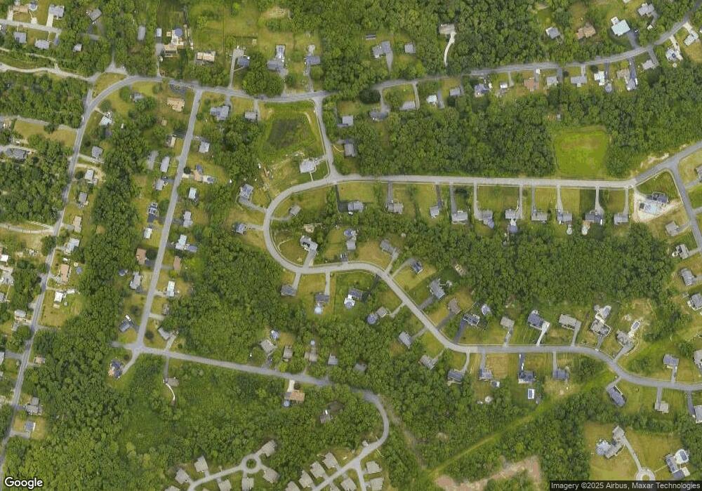
Map
Nearby Homes
- 259 Tickle Rd
- 0 Tickle Rd Unit 73453134
- 329 Tickle Rd
- 47 Devol Ave
- 33 Moniz Dr
- 100 Corys Ln
- 45 Greenfield Rd
- 24 Greenfield Rd
- 218 American Legion Hwy
- 40 Sycamore Ln
- 85 Watuppa Rd
- 105 Florence St
- 2 Magnolia Ln
- 771 Sanford Rd
- 1023 Old Stafford Rd
- 179 Robert St
- 8 Campion Ave
- 71 Blackbird St
- 47 Robert St
- 3 Blackbird St
- 8 Devol Ave
- 4 Devol Ave
- 4 Courtney Dr
- 11 Devol Ave
- 6 Courtney Dr
- 36 Devol Ave
- 2 Devol Ave
- 2 Devol Ave
- 10 Devol Ave
- 13 Devol Ave
- 7 Devol Ave
- 1 Courtney Dr
- 0 Devol Ave Unit 759948
- 0 Devol Ave Unit 759944
- 0 Devol Ave Unit 759955
- 0 Devol Ave Unit 759937
- 0 Devol Ave Unit 762489
- 0 Devol Ave Unit 70692722
- 0 Devol Ave Unit 70691911
- 0 Devol Ave Unit 70688084
Your Personal Tour Guide
Ask me questions while you tour the home.