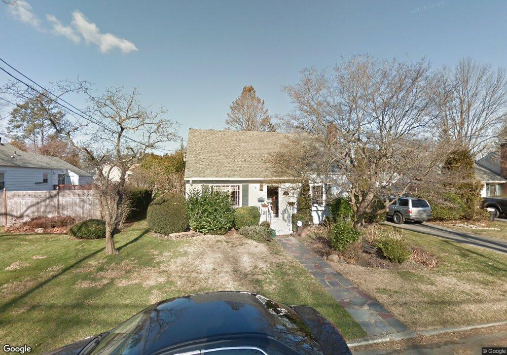
6 Devonshire Place Huntington Station, NY 11746
Estimated Value: $636,000 - $709,000
3
Beds
2
Baths
--
Sq Ft
0.25
Acres
About This Home
This home is located at 6 Devonshire Place, Huntington Station, NY 11746 and is currently estimated at $660,852. 6 Devonshire Place is a home located in Suffolk County with nearby schools including Woodhull Intermediate School, Washington School, and J Taylor Finley Middle School.
Ownership History
Date
Name
Owned For
Owner Type
Purchase Details
Closed on
Jan 24, 2002
Sold by
Ericsson Kurt E
Bought by
Dalton Richard J
Current Estimated Value
Home Financials for this Owner
Home Financials are based on the most recent Mortgage that was taken out on this home.
Original Mortgage
$215,200
Outstanding Balance
$89,548
Interest Rate
7.15%
Estimated Equity
$571,304
Purchase Details
Closed on
May 20, 1997
Sold by
Offerman Charles H and Offerman Marie C
Bought by
Ericsson Kurt E
Create a Home Valuation Report for This Property
The Home Valuation Report is an in-depth analysis detailing your home's value as well as a comparison with similar homes in the area
Home Values in the Area
Average Home Value in this Area
Purchase History
| Date | Buyer | Sale Price | Title Company |
|---|---|---|---|
| Dalton Richard J | $269,000 | Stewart Title | |
| Ericsson Kurt E | $118,500 | Chicago Title Insurance Co |
Source: Public Records
Mortgage History
| Date | Status | Borrower | Loan Amount |
|---|---|---|---|
| Open | Dalton Richard J | $215,200 |
Source: Public Records
Tax History Compared to Growth
Tax History
| Year | Tax Paid | Tax Assessment Tax Assessment Total Assessment is a certain percentage of the fair market value that is determined by local assessors to be the total taxable value of land and additions on the property. | Land | Improvement |
|---|---|---|---|---|
| 2024 | $8,343 | $2,150 | $200 | $1,950 |
| 2023 | $4,172 | $2,150 | $200 | $1,950 |
| 2022 | $8,294 | $2,150 | $200 | $1,950 |
| 2021 | $8,216 | $2,150 | $200 | $1,950 |
| 2020 | $8,123 | $2,150 | $200 | $1,950 |
| 2019 | $16,247 | $0 | $0 | $0 |
| 2018 | $7,721 | $2,150 | $200 | $1,950 |
| 2017 | $7,721 | $2,150 | $200 | $1,950 |
| 2016 | $7,625 | $2,150 | $200 | $1,950 |
| 2015 | -- | $2,150 | $200 | $1,950 |
| 2014 | -- | $2,150 | $200 | $1,950 |
Source: Public Records
Map
Nearby Homes
- 12 Foxdale Ct
- 39 Lewis Ct
- 217 Broadway
- 62 Lowndes Ave
- 71 Biltmore Cir
- 142 Crooked Hill Rd
- 11 Spring Ct
- 2 Spring Ct
- 26 Townhouse Rd S Unit 26
- 200 Lowndes Ave Unit A
- 280 Lowndes Ave Unit 208
- 280 Lowndes Ave Unit 305G
- 280 Lowndes Ave Unit 111G
- 22 Meadowood Ct
- 0 Tower St
- 24 Columbia St
- 148 Lenox Rd
- 49 Tower St
- 634 Park Ave
- 128 Winding St
- 10 Devonshire Place
- 103 Folsom Ave
- 5 Ardsley Place
- 7 Ardsley Place
- 107 Folsom Ave
- 12 Devonshire Place
- 5 Devonshire Place
- 7 Devonshire Place
- 99 Folsom Ave
- 11 Ardsley Place
- 11 Devonshire Place
- 108 Folsom Ave
- 104 Folsom Ave
- 85 Kelsey Ave
- 16 Devonshire Place
- 110 Folsom Ave
- 102 Folsom Ave
- 87 Kelsey Ave
- 13 Devonshire Place
- 115 Olive St