6 Donahue Ln Scarborough, ME 04074
Estimated Value: $682,000 - $776,000
4
Beds
3
Baths
2,267
Sq Ft
$323/Sq Ft
Est. Value
About This Home
This home is located at 6 Donahue Ln, Scarborough, ME 04074 and is currently estimated at $732,569, approximately $323 per square foot. 6 Donahue Ln is a home with nearby schools including Scarborough High School.
Ownership History
Date
Name
Owned For
Owner Type
Purchase Details
Closed on
Mar 24, 2017
Sold by
Donahue Patrick W and Mason Jessica B
Bought by
5 Star Holdings Llc
Current Estimated Value
Home Financials for this Owner
Home Financials are based on the most recent Mortgage that was taken out on this home.
Original Mortgage
$200,000
Interest Rate
4.17%
Mortgage Type
Commercial
Purchase Details
Closed on
May 4, 2005
Sold by
Donahue William J and Donahue Ellen N
Bought by
Donahue Patrick W
Create a Home Valuation Report for This Property
The Home Valuation Report is an in-depth analysis detailing your home's value as well as a comparison with similar homes in the area
Home Values in the Area
Average Home Value in this Area
Purchase History
| Date | Buyer | Sale Price | Title Company |
|---|---|---|---|
| 5 Star Holdings Llc | -- | -- | |
| Donahue Patrick W | -- | -- | |
| 5 Star Holdings Llc | -- | -- | |
| Donahue Patrick W | -- | -- |
Source: Public Records
Mortgage History
| Date | Status | Borrower | Loan Amount |
|---|---|---|---|
| Previous Owner | 5 Star Holdings Llc | $200,000 | |
| Previous Owner | Donahue Patrick W | $125,499 | |
| Previous Owner | Donahue Patrick W | $125,499 |
Source: Public Records
Tax History Compared to Growth
Tax History
| Year | Tax Paid | Tax Assessment Tax Assessment Total Assessment is a certain percentage of the fair market value that is determined by local assessors to be the total taxable value of land and additions on the property. | Land | Improvement |
|---|---|---|---|---|
| 2025 | $7,201 | $635,600 | $144,700 | $490,900 |
| 2024 | $6,947 | $635,600 | $144,700 | $490,900 |
| 2023 | $6,541 | $409,600 | $100,100 | $309,500 |
| 2022 | $6,304 | $409,600 | $100,100 | $309,500 |
| 2021 | $6,152 | $409,600 | $100,100 | $309,500 |
| 2020 | $6,087 | $409,600 | $100,100 | $309,500 |
| 2019 | $6,021 | $409,600 | $100,100 | $309,500 |
| 2017 | $5,936 | $360,000 | $104,500 | $255,500 |
| 2016 | $5,731 | $360,000 | $104,500 | $255,500 |
| 2015 | $5,576 | $360,000 | $104,500 | $255,500 |
| 2014 | $5,285 | $360,000 | $104,500 | $255,500 |
| 2013 | -- | $360,000 | $104,500 | $255,500 |
Source: Public Records
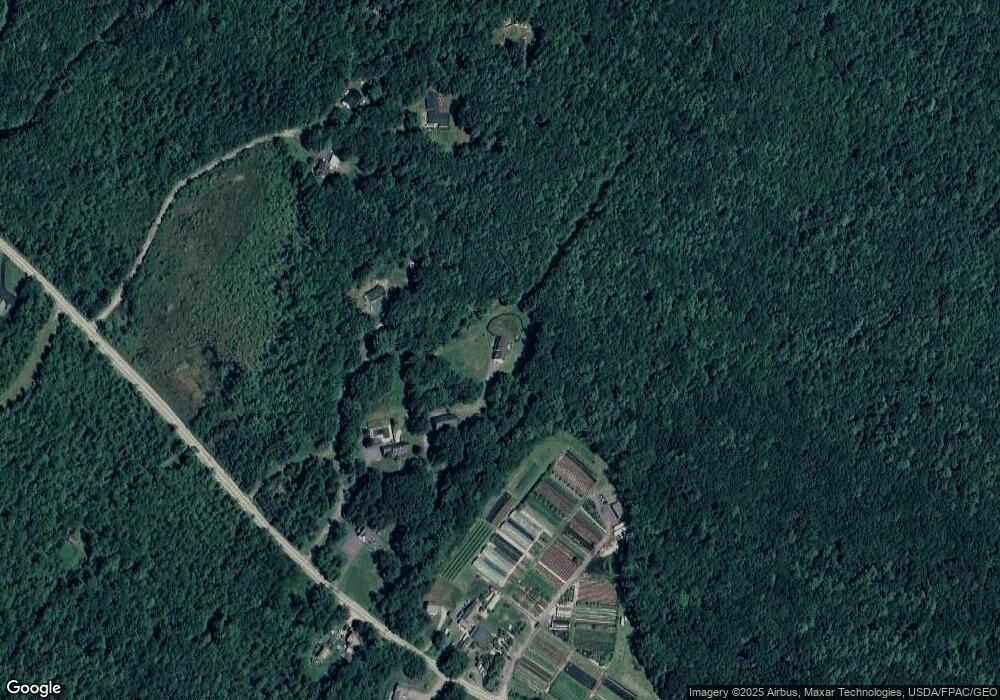
Map
Nearby Homes
- 75 Ash Swamp Rd
- 96C Broadturn Rd
- 91 B Broadturn Rd
- 90 Broadturn Rd Unit 9
- 91 C Broadturn Rd
- 29 Mccann Way Unit 29
- 159 Stewart Dr
- 155 Stewart Dr
- 153 Stewart Dr
- 149 Stewart Dr
- 72 Stewart Dr
- 19 Paulsen Dr
- 9 Paulsen Dr
- 5 Marguerite Rd
- 0 W Beech Ridge Rd
- 6 Leah Ln
- Lot 1 & 2 Memory Ln
- 0 Provident Dr
- 3 Nonesuch Rd
- 110/009 Mast Hill Rd
- 69 Ash Swamp Rd
- 67 Ash Swamp Rd
- 65 Ash Swamp Rd
- 77 Ash Swamp Rd
- 79 Ash Swamp Rd
- 63 Ash Swamp Rd
- 61 Ash Swamp Rd
- 70 Ash Swamp Rd
- 66 Ash Swamp Rd
- 128 Ash Swamp Rd
- 62 Ash Swamp Rd
- 51 Ash Swamp Rd
- 74 Ashswamp Rd
- 54 Ash Swamp Rd
- 8 Cardinal Ln
- 74 Ash Swamp Rd
- 85 Ash Swamp Rd
- 52 Ash Swamp Rd
- 76 Ash Swamp Rd
- 87 Ash Swamp Rd