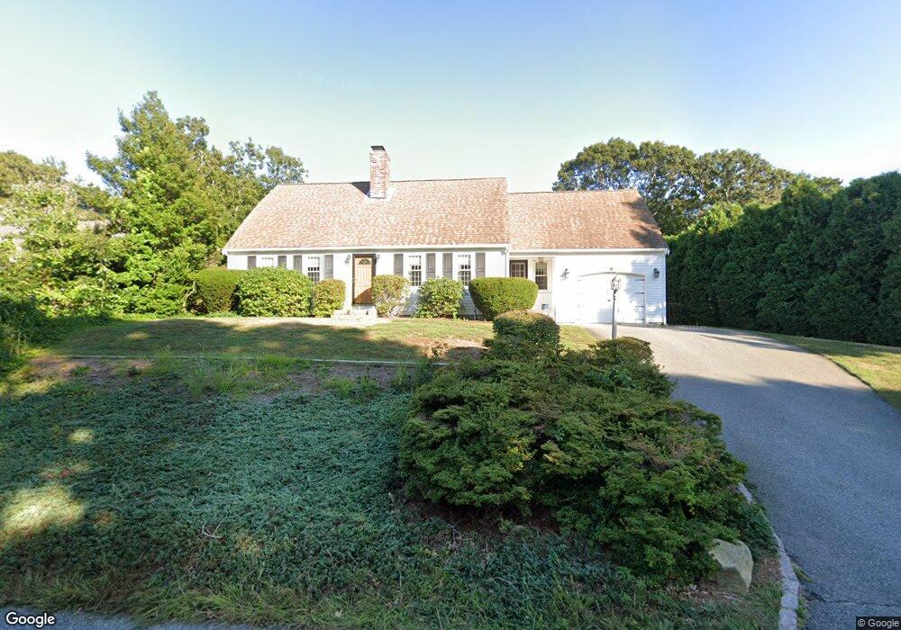
6 Dover Rd Yarmouth Port, MA 02675
Yarmouth Port NeighborhoodEstimated Value: $775,110 - $932,000
3
Beds
3
Baths
1,501
Sq Ft
$563/Sq Ft
Est. Value
About This Home
This home is located at 6 Dover Rd, Yarmouth Port, MA 02675 and is currently estimated at $845,278, approximately $563 per square foot. 6 Dover Rd is a home located in Barnstable County with nearby schools including Dennis-Yarmouth Regional High School.
Ownership History
Date
Name
Owned For
Owner Type
Purchase Details
Closed on
Jan 13, 2016
Sold by
Adil Anees A
Bought by
Welch Christina M and Hunt Michele A
Current Estimated Value
Purchase Details
Closed on
May 28, 1998
Sold by
Mclaughlin Louise M
Bought by
Adil Anees A
Home Financials for this Owner
Home Financials are based on the most recent Mortgage that was taken out on this home.
Original Mortgage
$130,500
Interest Rate
7.12%
Mortgage Type
Purchase Money Mortgage
Create a Home Valuation Report for This Property
The Home Valuation Report is an in-depth analysis detailing your home's value as well as a comparison with similar homes in the area
Home Values in the Area
Average Home Value in this Area
Purchase History
| Date | Buyer | Sale Price | Title Company |
|---|---|---|---|
| Welch Christina M | -- | -- | |
| Adil Anees A | $174,000 | -- |
Source: Public Records
Mortgage History
| Date | Status | Borrower | Loan Amount |
|---|---|---|---|
| Previous Owner | Adil Anees A | $64,398 | |
| Previous Owner | Adil Anees A | $123,000 | |
| Previous Owner | Adil Anees A | $130,500 | |
| Previous Owner | Adil Anees A | $130,500 |
Source: Public Records
Tax History Compared to Growth
Tax History
| Year | Tax Paid | Tax Assessment Tax Assessment Total Assessment is a certain percentage of the fair market value that is determined by local assessors to be the total taxable value of land and additions on the property. | Land | Improvement |
|---|---|---|---|---|
| 2025 | $5,575 | $787,400 | $223,900 | $563,500 |
| 2024 | $5,168 | $700,300 | $194,700 | $505,600 |
| 2023 | $5,077 | $626,000 | $164,300 | $461,700 |
| 2022 | $4,551 | $495,700 | $147,000 | $348,700 |
| 2021 | $4,459 | $466,400 | $147,000 | $319,400 |
| 2020 | $4,256 | $425,600 | $144,600 | $281,000 |
| 2019 | $3,956 | $391,700 | $144,600 | $247,100 |
| 2018 | $3,943 | $383,200 | $136,100 | $247,100 |
| 2017 | $3,840 | $383,200 | $136,100 | $247,100 |
| 2016 | $3,824 | $383,200 | $136,100 | $247,100 |
| 2015 | $3,696 | $368,100 | $136,100 | $232,000 |
Source: Public Records
Map
Nearby Homes
- 44 Stratford Ln
- 6 Nimble Hill Dr
- 64 Kates Path
- 51 Bray Farm Rd N
- 59 Main St Unit 19-2
- 59 Route 6a Unit 29-4
- 34 Kates Path
- 34 Kates Path Unit 34
- 228 Kates Path
- 17 Kates Path Unit A
- 42 John Hall Cartway Unit 42
- 50 John Hall Cartway
- 50 John Hall Cartway Unit 50
- 43 Canterbury Rd
- 86 Pompano Rd
- 268 Main St
- 7 Forest Gate Unit 7
- 25 Oak Glen Village Unit 25
- 25 Oak Glen
- 13 Covey Dr
- 10 Bray Farm Rd S
- 12 Dover Rd
- 9 Dover Rd
- 16 Dover Rd
- 20 Bray Farm Rd S
- 960 Route 6a
- 960 Massachusetts 6a
- 15 Dover Rd
- 938 Route 6a
- 28 Bray Farm Rd S
- 21 Bray Farm Rd S
- 968 Route 6a
- 968 Massachusetts 6a
- 926 Route 6a
- 77 Main Street Rte 6a St
- 10 Campion Rd
- 32 Bray Farm Rd S
- 970 Route 6a
- 964 Route 6a
- 14 Campion Rd