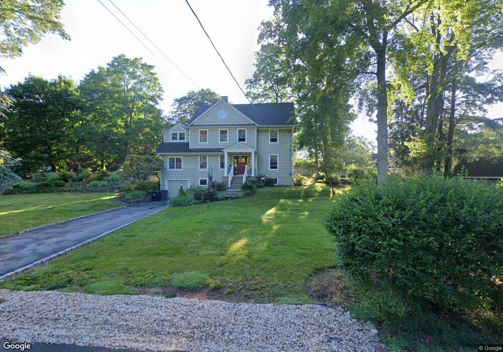
6 Dunster Rd Mount Kisco, NY 10549
Estimated Value: $915,000 - $1,104,000
3
Beds
3
Baths
2,405
Sq Ft
$423/Sq Ft
Est. Value
About This Home
This home is located at 6 Dunster Rd, Mount Kisco, NY 10549 and is currently estimated at $1,016,530, approximately $422 per square foot. 6 Dunster Rd is a home located in Westchester County with nearby schools including Yorktown High School and Yeshiva and Mesivta Ohel Shmuel.
Ownership History
Date
Name
Owned For
Owner Type
Purchase Details
Closed on
Dec 31, 1997
Sold by
Montagner Roger Marc and Montagner Marc Roger
Bought by
Oconnor Kevin and Agoglia Barbara A
Current Estimated Value
Create a Home Valuation Report for This Property
The Home Valuation Report is an in-depth analysis detailing your home's value as well as a comparison with similar homes in the area
Home Values in the Area
Average Home Value in this Area
Purchase History
| Date | Buyer | Sale Price | Title Company |
|---|---|---|---|
| Oconnor Kevin | $285,000 | -- |
Source: Public Records
Tax History Compared to Growth
Tax History
| Year | Tax Paid | Tax Assessment Tax Assessment Total Assessment is a certain percentage of the fair market value that is determined by local assessors to be the total taxable value of land and additions on the property. | Land | Improvement |
|---|---|---|---|---|
| 2024 | $23,939 | $142,700 | $18,700 | $124,000 |
| 2023 | $23,204 | $142,700 | $18,700 | $124,000 |
| 2022 | $21,671 | $142,700 | $18,700 | $124,000 |
| 2021 | $22,505 | $142,700 | $18,700 | $124,000 |
| 2020 | $22,400 | $142,700 | $18,700 | $124,000 |
| 2019 | $85,153 | $142,700 | $18,700 | $124,000 |
| 2018 | $23,127 | $142,700 | $18,700 | $124,000 |
| 2017 | $0 | $142,700 | $18,700 | $124,000 |
| 2016 | $24,117 | $142,700 | $18,700 | $124,000 |
| 2015 | -- | $142,700 | $18,700 | $124,000 |
| 2014 | -- | $142,700 | $18,700 | $124,000 |
| 2013 | -- | $142,700 | $18,700 | $124,000 |
Source: Public Records
Map
Nearby Homes
- 12 Logging Rd
- 507 Croton Lake Rd
- 6 Shard Ct
- 500 Croton Lake Rd
- 11 South Ln
- 134 Ruxton Rd
- 25 Wells Ln
- 18 Cross River Rd
- 62 Pines Bridge Rd
- 218 Croton Ave
- 52 Red Oak Ln
- 2 Cerf Ln
- 986 Cliff Ave
- 3 Hageman Ct
- 234 Lot #4 Croton Heights Rd
- 1012 Sunset St
- 4 Hageman Ct
- 48 Lake Marie Ln
- 17 Mountain Ave
- 19 Lake Marie Ln