Estimated Value: $2,275,000 - $2,703,000
5
Beds
7
Baths
7,812
Sq Ft
$327/Sq Ft
Est. Value
About This Home
This home is located at 6 Duston Ln, Acton, MA 01720 and is currently estimated at $2,551,280, approximately $326 per square foot. 6 Duston Ln is a home located in Middlesex County with nearby schools including Acton-Boxborough Regional High School, Nashoba Brooks School, and Middlesex School.
Ownership History
Date
Name
Owned For
Owner Type
Purchase Details
Closed on
Sep 15, 1993
Sold by
Traywick Cathy I
Bought by
Brook David E and Brook Arlene D
Current Estimated Value
Create a Home Valuation Report for This Property
The Home Valuation Report is an in-depth analysis detailing your home's value as well as a comparison with similar homes in the area
Home Values in the Area
Average Home Value in this Area
Purchase History
| Date | Buyer | Sale Price | Title Company |
|---|---|---|---|
| Brook David E | $950,000 | -- |
Source: Public Records
Mortgage History
| Date | Status | Borrower | Loan Amount |
|---|---|---|---|
| Open | Brook David E | $725,000 | |
| Closed | Brook David E | $722,500 | |
| Closed | Brook David E | $745,000 |
Source: Public Records
Tax History
| Year | Tax Paid | Tax Assessment Tax Assessment Total Assessment is a certain percentage of the fair market value that is determined by local assessors to be the total taxable value of land and additions on the property. | Land | Improvement |
|---|---|---|---|---|
| 2025 | $39,539 | $2,305,500 | $542,100 | $1,763,400 |
| 2024 | $36,282 | $2,176,500 | $526,100 | $1,650,400 |
| 2023 | $36,669 | $2,088,200 | $478,800 | $1,609,400 |
| 2022 | $34,578 | $1,777,800 | $422,000 | $1,355,800 |
| 2021 | $33,918 | $1,676,600 | $393,200 | $1,283,400 |
| 2020 | $31,910 | $1,658,500 | $393,200 | $1,265,300 |
| 2019 | $32,801 | $1,693,400 | $393,200 | $1,300,200 |
| 2018 | $32,016 | $1,652,000 | $393,200 | $1,258,800 |
| 2017 | $31,091 | $1,631,200 | $393,200 | $1,238,000 |
| 2016 | $30,616 | $1,592,100 | $393,200 | $1,198,900 |
| 2015 | $31,122 | $1,633,700 | $393,200 | $1,240,500 |
| 2014 | $29,408 | $1,512,000 | $393,200 | $1,118,800 |
Source: Public Records
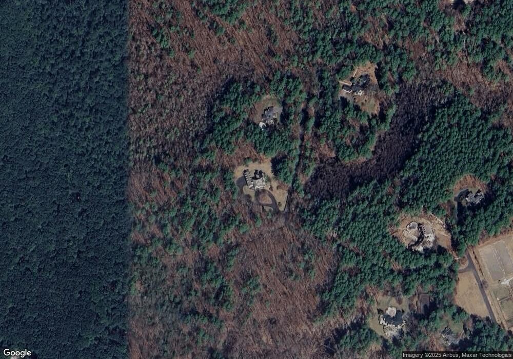
Map
Nearby Homes
- 2 Duston Ln
- 853 Strawberry Hill Rd
- 10 Blue Heron Way Unit 10
- 10 Blue Heron Way
- 18 Quail Run Unit 18
- 104 Channing Rd
- 134 Pope Rd
- 110 Spencer Brook Rd
- 11 Davis Rd Unit A5
- 11 Davis Rd Unit B8
- 15 Davis Rd Unit B11
- 15 Davis Rd Unit B-8
- 316 Lindsay Pond Rd
- 87 Canterbury Hill Rd
- 107 Westford Rd
- 388 Great Rd Unit A9
- 388 Great Rd Unit B14
- 386 Great Rd Unit A8
- 380 Great Rd Unit B301
- 380A Great Rd Unit 301
Your Personal Tour Guide
Ask me questions while you tour the home.