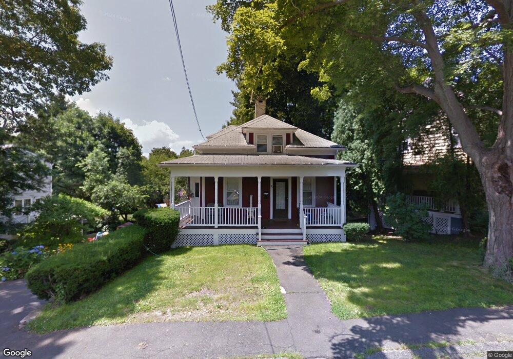
6 E Rocks Rd Norwalk, CT 06851
Woods Pond NeighborhoodEstimated Value: $524,252 - $669,000
2
Beds
1
Bath
1,046
Sq Ft
$543/Sq Ft
Est. Value
About This Home
This home is located at 6 E Rocks Rd, Norwalk, CT 06851 and is currently estimated at $568,313, approximately $543 per square foot. 6 E Rocks Rd is a home located in Fairfield County with nearby schools including Tracey School, West Rocks Middle School, and Norwalk High School.
Ownership History
Date
Name
Owned For
Owner Type
Purchase Details
Closed on
Jul 29, 1991
Sold by
Sanford Virginia
Bought by
Cutugno Anthony and Cutugno Donna
Current Estimated Value
Create a Home Valuation Report for This Property
The Home Valuation Report is an in-depth analysis detailing your home's value as well as a comparison with similar homes in the area
Home Values in the Area
Average Home Value in this Area
Purchase History
| Date | Buyer | Sale Price | Title Company |
|---|---|---|---|
| Cutugno Anthony | $148,000 | -- |
Source: Public Records
Mortgage History
| Date | Status | Borrower | Loan Amount |
|---|---|---|---|
| Closed | Cutugno Anthony | $40,000 | |
| Closed | Cutugno Anthony | $25,000 | |
| Open | Cutugno Anthony | $138,000 | |
| Closed | Cutugno Anthony | $115,000 |
Source: Public Records
Tax History
| Year | Tax Paid | Tax Assessment Tax Assessment Total Assessment is a certain percentage of the fair market value that is determined by local assessors to be the total taxable value of land and additions on the property. | Land | Improvement |
|---|---|---|---|---|
| 2025 | $6,971 | $291,670 | $151,040 | $140,630 |
| 2024 | $6,867 | $291,670 | $151,040 | $140,630 |
| 2023 | $5,205 | $207,490 | $115,380 | $92,110 |
| 2022 | $5,093 | $207,490 | $115,380 | $92,110 |
| 2021 | $4,974 | $207,490 | $115,380 | $92,110 |
| 2020 | $4,971 | $207,490 | $115,380 | $92,110 |
| 2019 | $4,838 | $207,490 | $115,380 | $92,110 |
| 2018 | $5,695 | $214,050 | $134,060 | $79,990 |
| 2017 | $5,497 | $214,050 | $134,060 | $79,990 |
| 2016 | $5,486 | $215,650 | $134,060 | $81,590 |
| 2015 | $5,430 | $214,050 | $134,060 | $79,990 |
| 2014 | $5,360 | $214,050 | $134,060 | $79,990 |
Source: Public Records
Map
Nearby Homes
- 10 Merrill Rd
- 75 Newtown Ave
- 4 Union Ave Unit 24
- 29 High St Unit F
- 6 Wildmere Ln
- 71 Saddle Rd
- 11 Margaret St
- 206 Sunrise Hill Rd Unit 206
- 226 Sunrise Hill Rd Unit 226
- 19 Isaacs St Unit 405
- 47 Lockwood Ln
- 48 Fair St
- 126 W Rocks Rd
- 81 Wolfpit Ave Unit B3
- 16 Sunset Hill Ave
- 37 Murray St
- 3 Stonybrook Rd
- 50 Aiken St Unit 253
- 50 Aiken St Unit 286
- 28 Overbrook Rd
- 8 E Rocks Rd
- 4 E Rocks Rd
- 10 E Rocks Rd
- 22 Glendenning St
- 1 E Rocks Rd
- 2 E Rocks Rd
- 19 Cannon St
- 18 Glendenning St
- 17 Cannon St
- 27 Glendenning St
- 21 Glendenning St
- 15 Cannon St
- 16 Glendenning St
- 27 Cannon St
- 19 Glendenning St
- 23 Glendenning St
- 25 Glendenning St
- 17 Glendenning St
- 11 Cannon St
- 14 Glendenning St
Your Personal Tour Guide
Ask me questions while you tour the home.