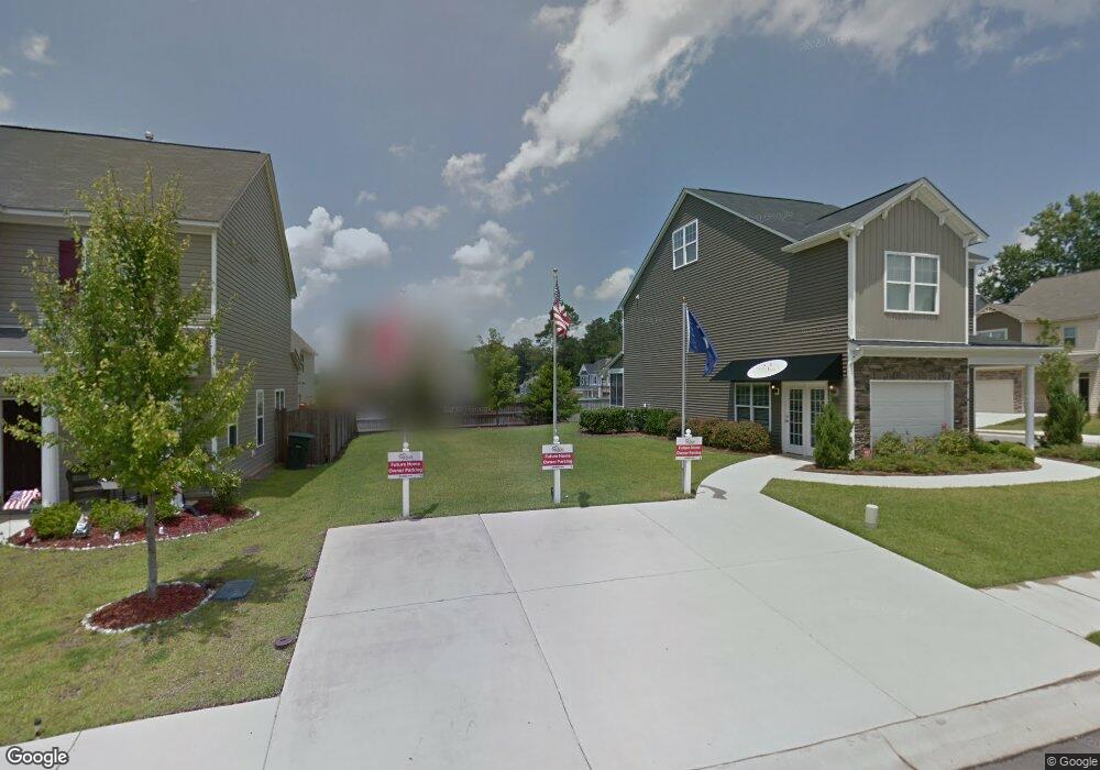
6 Eason Ct Columbia, SC 29209
Southeast Columbia NeighborhoodEstimated Value: $230,964 - $257,000
3
Beds
3
Baths
1,476
Sq Ft
$166/Sq Ft
Est. Value
About This Home
This home is located at 6 Eason Ct, Columbia, SC 29209 and is currently estimated at $245,241, approximately $166 per square foot. 6 Eason Ct is a home located in Richland County with nearby schools including Annie Burnside Elementary School, Crayton Middle School, and A. C. Flora High School.
Ownership History
Date
Name
Owned For
Owner Type
Purchase Details
Closed on
Aug 17, 2022
Sold by
Devon Mcquillar
Bought by
Furman Tyra
Current Estimated Value
Purchase Details
Closed on
Mar 29, 2019
Sold by
Mungo Homes Properties Llc
Bought by
Malone Cedrick and Furman Tyra M
Home Financials for this Owner
Home Financials are based on the most recent Mortgage that was taken out on this home.
Original Mortgage
$141,214
Interest Rate
4.3%
Mortgage Type
New Conventional
Create a Home Valuation Report for This Property
The Home Valuation Report is an in-depth analysis detailing your home's value as well as a comparison with similar homes in the area
Home Values in the Area
Average Home Value in this Area
Purchase History
| Date | Buyer | Sale Price | Title Company |
|---|---|---|---|
| Furman Tyra | $143,820 | None Listed On Document | |
| Malone Cedrick | $143,820 | None Available |
Source: Public Records
Mortgage History
| Date | Status | Borrower | Loan Amount |
|---|---|---|---|
| Previous Owner | Malone Cedrick | $141,214 |
Source: Public Records
Tax History
| Year | Tax Paid | Tax Assessment Tax Assessment Total Assessment is a certain percentage of the fair market value that is determined by local assessors to be the total taxable value of land and additions on the property. | Land | Improvement |
|---|---|---|---|---|
| 2024 | $6,187 | $221,500 | $24,100 | $197,400 |
| 2023 | $6,061 | $5,752 | $0 | $0 |
| 2022 | $4,159 | $143,800 | $18,500 | $125,300 |
| 2021 | $4,193 | $8,630 | $0 | $0 |
| 2020 | $4,252 | $8,630 | $0 | $0 |
| 2019 | $548 | $1,110 | $0 | $0 |
| 2018 | $555 | $1,110 | $0 | $0 |
| 2017 | $540 | $1,110 | $0 | $0 |
| 2016 | $104 | $220 | $0 | $0 |
| 2015 | $103 | $220 | $0 | $0 |
| 2014 | $102 | $3,700 | $0 | $0 |
| 2013 | -- | $220 | $0 | $0 |
Source: Public Records
Map
Nearby Homes
- 7520 Pell St
- 123 Gayle Pond Trace
- 31 Silverleaf Ct
- 11 Paperbark Ct
- 267 Ashewood Commons Dr
- 25 Willow Hurst Ct
- 1720 Sandra Dr
- 263 Blue Savannah St
- 243 Blue Savannah St
- 106 Colonial Commons Ln
- 267 Ashewood Lake Dr
- 7801 Skylark Dr
- 175 Nestle Ct
- 7901 Tradd St
- 1737 Elmtree Rd
- 2132 Porter Dr
- 2110 Gayley St
- 237 Village Walk
- 2011 Orchard Oak Trail
- 6801 Patricia Dr
Your Personal Tour Guide
Ask me questions while you tour the home.