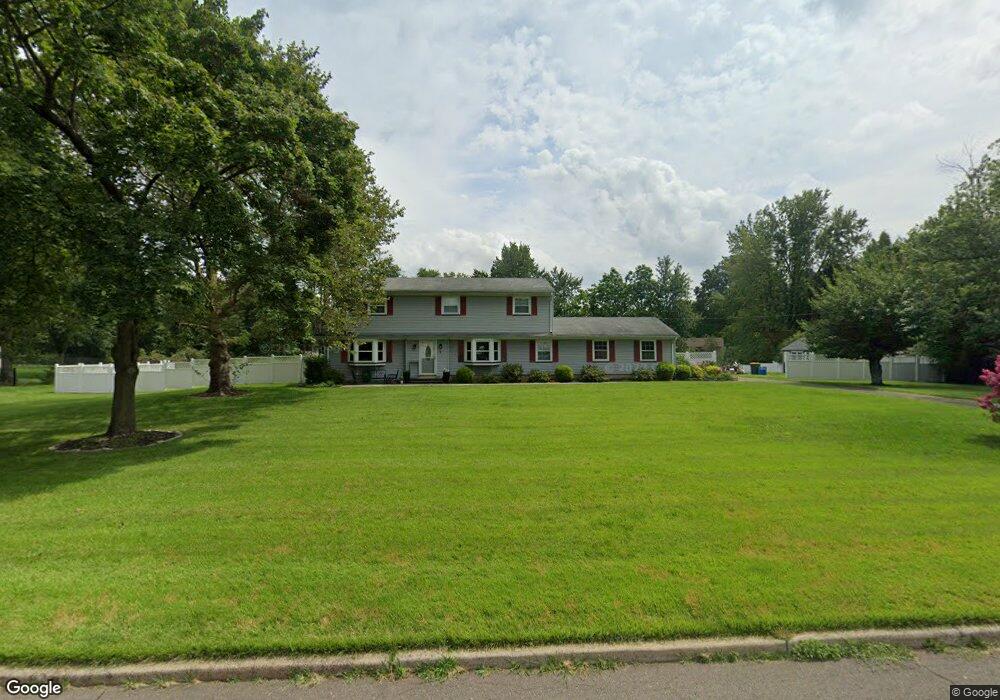
6 Ebert Dr Hillsborough, NJ 08844
Estimated Value: $637,000 - $741,000
Studio
--
Bath
1,988
Sq Ft
$354/Sq Ft
Est. Value
About This Home
This home is located at 6 Ebert Dr, Hillsborough, NJ 08844 and is currently estimated at $703,040, approximately $353 per square foot. 6 Ebert Dr is a home located in Somerset County with nearby schools including Hillsborough High School.
Ownership History
Date
Name
Owned For
Owner Type
Purchase Details
Closed on
Aug 17, 2020
Sold by
Arevalo Steve and Goncalves Graciela
Bought by
Arevalo Steve and Arevalo Graciela
Current Estimated Value
Home Financials for this Owner
Home Financials are based on the most recent Mortgage that was taken out on this home.
Original Mortgage
$297,800
Outstanding Balance
$238,106
Interest Rate
3%
Mortgage Type
New Conventional
Estimated Equity
$464,934
Purchase Details
Closed on
Jul 23, 2010
Sold by
Sarwan Andre D and Sarwan Chandra
Bought by
Arevalo Steve and Goncalves Graciela
Home Financials for this Owner
Home Financials are based on the most recent Mortgage that was taken out on this home.
Original Mortgage
$355,216
Interest Rate
5.5%
Mortgage Type
FHA
Purchase Details
Closed on
Aug 31, 2001
Sold by
Assoc Relocation
Bought by
Sarwan Andre
Home Financials for this Owner
Home Financials are based on the most recent Mortgage that was taken out on this home.
Original Mortgage
$170,000
Interest Rate
6.99%
Create a Home Valuation Report for This Property
The Home Valuation Report is an in-depth analysis detailing your home's value as well as a comparison with similar homes in the area
Home Values in the Area
Average Home Value in this Area
Purchase History
| Date | Buyer | Sale Price | Title Company |
|---|---|---|---|
| Arevalo Steve | -- | Elite Team Title Llc | |
| Arevalo Steve | $360,000 | Multiple | |
| Sarwan Andre | $340,000 | -- |
Source: Public Records
Mortgage History
| Date | Status | Borrower | Loan Amount |
|---|---|---|---|
| Open | Arevalo Steve | $297,800 | |
| Closed | Arevalo Steve | $355,216 | |
| Previous Owner | Sarwan Andre | $170,000 |
Source: Public Records
Tax History
| Year | Tax Paid | Tax Assessment Tax Assessment Total Assessment is a certain percentage of the fair market value that is determined by local assessors to be the total taxable value of land and additions on the property. | Land | Improvement |
|---|---|---|---|---|
| 2025 | $11,877 | $595,300 | $300,000 | $295,300 |
| 2024 | $11,877 | $554,200 | $295,000 | $259,200 |
Source: Public Records
Map
Nearby Homes
- 77 Norton Rd
- 84 Norton Rd
- 6 Leidl Cir
- 3 John Hancock Ave
- 920 Robin Rd
- 806 Robin Rd
- 66 Kline Rd
- 43 Kline Rd
- 73 Farm Rd
- 3203 Astor Close
- 136 Wildflower Ln
- 69 Farm Rd
- 351 Doctors Way
- 538 Andria Ave Unit 287
- 8 Cardinal Ln
- 8 Cardinal Ln Unit 2
- 76 Farm Rd Unit E
- 515 Andria Ave Unit 182
- 528 Andria Ave Unit 253
- 2 Steele Place Unit 202
Your Personal Tour Guide
Ask me questions while you tour the home.