6 Eliot Ave Chilmark, MA 02535
Chilmark NeighborhoodEstimated Value: $2,387,000 - $4,358,000
3
Beds
1
Bath
1,096
Sq Ft
$3,195/Sq Ft
Est. Value
About This Home
This home is located at 6 Eliot Ave, Chilmark, MA 02535 and is currently estimated at $3,502,183, approximately $3,195 per square foot. 6 Eliot Ave is a home located in Dukes County with nearby schools including Martha's Vineyard Regional High School.
Ownership History
Date
Name
Owned For
Owner Type
Purchase Details
Closed on
Jun 27, 2024
Sold by
Dascensio Nancy J
Bought by
N J Dascensio Income Only and Mitchell-Jackson
Current Estimated Value
Purchase Details
Closed on
Aug 18, 2015
Sold by
Elsie K Geitz T
Bought by
Jones Susan
Create a Home Valuation Report for This Property
The Home Valuation Report is an in-depth analysis detailing your home's value as well as a comparison with similar homes in the area
Home Values in the Area
Average Home Value in this Area
Purchase History
| Date | Buyer | Sale Price | Title Company |
|---|---|---|---|
| N J Dascensio Income Only | -- | None Available | |
| N J Dascensio Income Only | -- | None Available | |
| Jones Susan | -- | -- | |
| Jones Susan | -- | -- |
Source: Public Records
Tax History Compared to Growth
Tax History
| Year | Tax Paid | Tax Assessment Tax Assessment Total Assessment is a certain percentage of the fair market value that is determined by local assessors to be the total taxable value of land and additions on the property. | Land | Improvement |
|---|---|---|---|---|
| 2025 | $8,300 | $3,689,100 | $3,386,600 | $302,500 |
| 2024 | $7,559 | $3,565,500 | $3,278,000 | $287,500 |
| 2023 | $7,218 | $2,744,600 | $2,521,400 | $223,200 |
| 2022 | $8,248 | $2,924,700 | $2,801,500 | $123,200 |
| 2021 | $8,459 | $2,906,900 | $2,801,500 | $105,400 |
| 2020 | $8,151 | $2,850,100 | $2,746,600 | $103,500 |
| 2019 | $8,183 | $2,841,400 | $2,746,600 | $94,800 |
| 2018 | $7,814 | $2,841,400 | $2,746,600 | $94,800 |
| 2017 | $7,610 | $2,839,700 | $2,746,700 | $93,000 |
| 2016 | $7,691 | $2,837,900 | $2,746,700 | $91,200 |
| 2015 | $7,464 | $2,837,900 | $2,746,700 | $91,200 |
| 2014 | $7,850 | $3,165,200 | $3,108,000 | $57,200 |
Source: Public Records
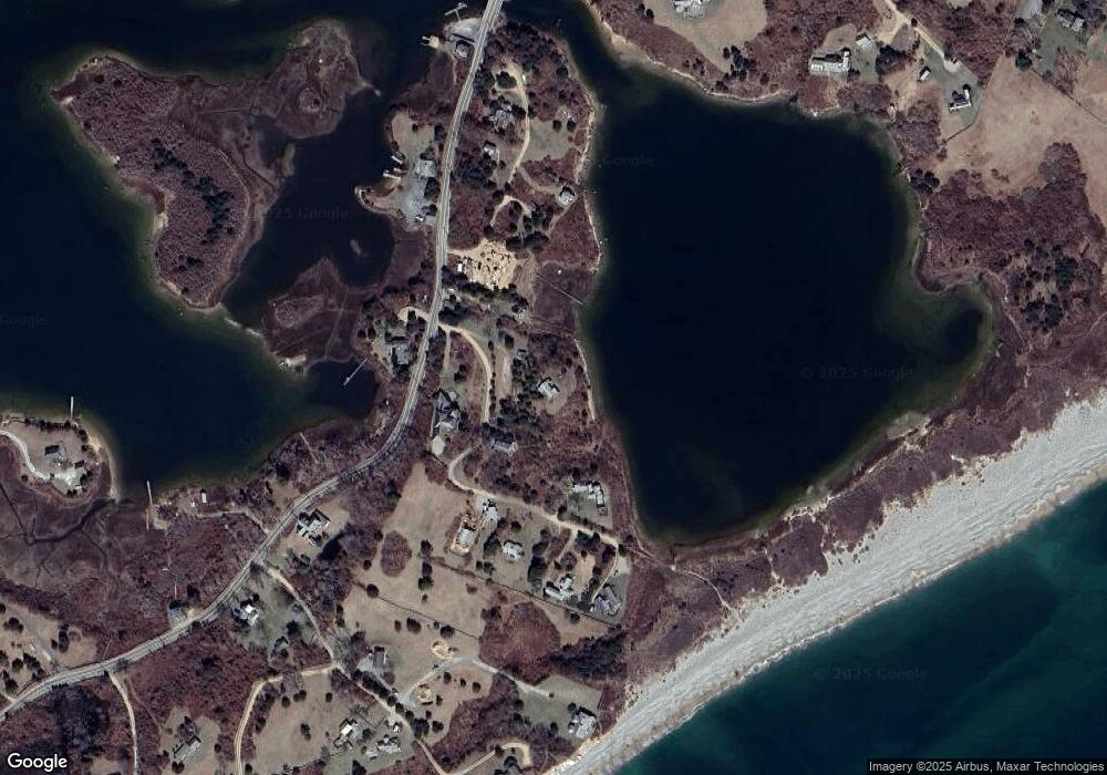
Map
Nearby Homes
- 20 Eliot Ave
- 131 State Rd
- 11 Greenhouse Ln
- 4 Cedar Ln Unit 2.2
- 16 Shotnaigher Ln
- 64 Squibnocket Farm Rd
- 18 Spruce Gate Rd
- 34 Edys Island Way
- 7 Clay Pit Ln
- 9 Moshup Trail
- 14 Ridge Rd Unit 94
- 18 Homeward Way
- 654 Lighthouse Rd
- 12 Lobsterville Rd
- 25 Fulling Mill Rd
- 5 Ocean View Farm Rd
- 6 Trails End
- 44 Cencelle St
- 49 Gosnold's Way
- 6 Church St