Estimated Value: $427,000 - $461,000
3
Beds
2
Baths
1,544
Sq Ft
$286/Sq Ft
Est. Value
About This Home
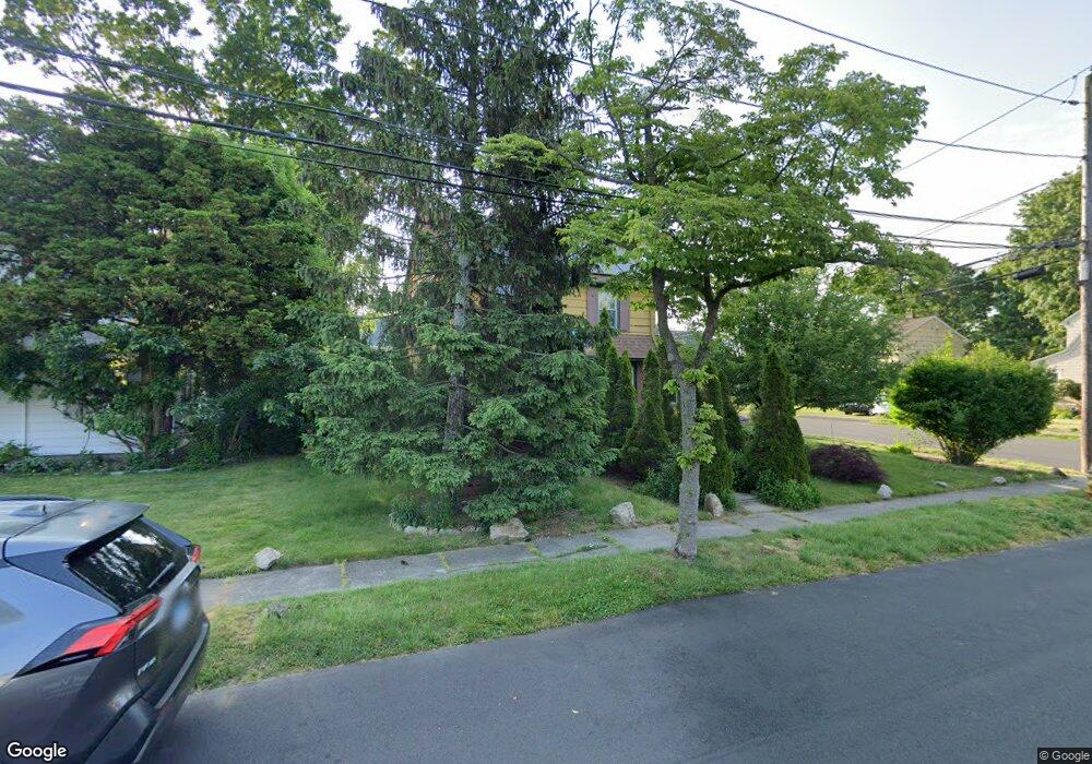
This home is located at 6 Eunice Pkwy, Stratford, CT 06615 and is currently estimated at $441,107, approximately $285 per square foot. 6 Eunice Pkwy is a home located in Fairfield County with nearby schools including Stratford Academy - Johnson House, David Wooster Middle School, and Stratford High School.
Ownership History
Date
Name
Owned For
Owner Type
Purchase Details
Closed on
Jan 25, 2016
Sold by
Peabody Michael T
Bought by
Peabody Michael T and Nunez-Peabody Anna P
Current Estimated Value
Purchase Details
Closed on
Jul 16, 2001
Sold by
Altieri Stephen and Altieri Joyce
Bought by
Peabody Michael and Nunez-Peabody Anna P
Home Financials for this Owner
Home Financials are based on the most recent Mortgage that was taken out on this home.
Original Mortgage
$176,234
Interest Rate
7.2%
Create a Home Valuation Report for This Property
The Home Valuation Report is an in-depth analysis detailing your home's value as well as a comparison with similar homes in the area
Home Values in the Area
Average Home Value in this Area
Purchase History
| Date | Buyer | Sale Price | Title Company |
|---|---|---|---|
| Peabody Michael T | -- | -- | |
| Peabody Michael | $179,000 | -- |
Source: Public Records
Mortgage History
| Date | Status | Borrower | Loan Amount |
|---|---|---|---|
| Previous Owner | Peabody Michael | $225,000 | |
| Previous Owner | Peabody Michael | $173,438 | |
| Previous Owner | Peabody Michael | $176,234 |
Source: Public Records
Tax History Compared to Growth
Tax History
| Year | Tax Paid | Tax Assessment Tax Assessment Total Assessment is a certain percentage of the fair market value that is determined by local assessors to be the total taxable value of land and additions on the property. | Land | Improvement |
|---|---|---|---|---|
| 2025 | $6,196 | $154,140 | $75,670 | $78,470 |
| 2024 | $6,196 | $154,140 | $75,670 | $78,470 |
| 2023 | $6,196 | $154,140 | $75,670 | $78,470 |
| 2022 | $6,082 | $154,140 | $75,670 | $78,470 |
| 2021 | $6,084 | $154,140 | $75,670 | $78,470 |
| 2020 | $6,110 | $154,140 | $75,670 | $78,470 |
| 2019 | $6,458 | $161,980 | $77,420 | $84,560 |
| 2018 | $6,418 | $160,860 | $77,420 | $83,440 |
| 2017 | $6,430 | $160,860 | $77,420 | $83,440 |
| 2016 | $6,272 | $160,860 | $77,420 | $83,440 |
| 2015 | $5,949 | $160,860 | $77,420 | $83,440 |
| 2014 | $6,081 | $170,660 | $72,380 | $98,280 |
Source: Public Records
Map
Nearby Homes
- 1167 South Ave
- 1460 Elm St Unit 225
- 1460 Elm St Unit 322
- 1460 Elm St Unit 132
- 240 Placid Ave
- 50 Birdseye St Unit 101
- 50 Birdseye St Unit 104
- 164 Hamilton Ave Unit 4
- 1853 Main St
- 552 Sedgewick Ave
- 79 Boswell St
- 79 Wooster Ave
- 106 General St
- 70 Guzzi Dr
- 909 Main St
- 270 Roosevelt Ave
- 325 Mckinley Ave
- 17 Miranda Ln
- 66 Roosevelt Ave
- 148 Columbus Ave