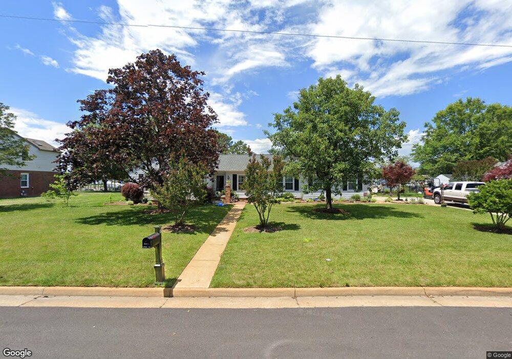
6 Evans Cir Poquoson, VA 23662
Poquoson West NeighborhoodEstimated Value: $652,000 - $819,000
4
Beds
2
Baths
2,104
Sq Ft
$351/Sq Ft
Est. Value
About This Home
This home is located at 6 Evans Cir, Poquoson, VA 23662 and is currently estimated at $738,430, approximately $350 per square foot. 6 Evans Cir is a home located in Poquoson City with nearby schools including Summit Christian Academy - Upper School.
Ownership History
Date
Name
Owned For
Owner Type
Purchase Details
Closed on
Jun 14, 2022
Sold by
Browning C Wharton Trust
Bought by
Jones Patrick N and Jones Virginia A
Current Estimated Value
Home Financials for this Owner
Home Financials are based on the most recent Mortgage that was taken out on this home.
Original Mortgage
$520,000
Outstanding Balance
$494,175
Interest Rate
5.13%
Mortgage Type
New Conventional
Estimated Equity
$244,255
Create a Home Valuation Report for This Property
The Home Valuation Report is an in-depth analysis detailing your home's value as well as a comparison with similar homes in the area
Home Values in the Area
Average Home Value in this Area
Purchase History
| Date | Buyer | Sale Price | Title Company |
|---|---|---|---|
| Jones Patrick N | $650,000 | New Title Company Name |
Source: Public Records
Mortgage History
| Date | Status | Borrower | Loan Amount |
|---|---|---|---|
| Open | Jones Patrick N | $520,000 |
Source: Public Records
Tax History Compared to Growth
Tax History
| Year | Tax Paid | Tax Assessment Tax Assessment Total Assessment is a certain percentage of the fair market value that is determined by local assessors to be the total taxable value of land and additions on the property. | Land | Improvement |
|---|---|---|---|---|
| 2024 | $7,411 | $650,100 | $348,400 | $301,700 |
| 2023 | $7,216 | $650,100 | $348,400 | $301,700 |
| 2022 | $6,468 | $572,400 | $348,400 | $224,000 |
| 2021 | $6,468 | $572,400 | $348,400 | $224,000 |
| 2020 | -- | $531,600 | $348,400 | $183,200 |
| 2019 | -- | $531,600 | $348,400 | $183,200 |
| 2018 | -- | $531,600 | $348,400 | $183,200 |
| 2017 | -- | $541,800 | $348,400 | $193,400 |
| 2016 | -- | $541,800 | $348,400 | $193,400 |
| 2015 | -- | $541,800 | $348,400 | $193,400 |
| 2013 | -- | $541,800 | $348,400 | $193,400 |
Source: Public Records
Map
Nearby Homes
- 105 Rens Rd Unit 30
- 105 Rens Rd Unit 2
- 105 Rens Rd Unit 74
- 105 Rens Rd Unit Lot 48
- 7 Carmines Ct
- 3 Carmines Ct
- 1 Phillips Rd
- 6 Lessies Dr
- 15+AC Browns Neck Rd
- 1.55ac Holloway Rd
- 62 Rens Rd
- 41 W Sandy Point Rd
- 7 Quail Cove
- 21 Rens Rd
- 35 River Rd
- 28 Pasture Rd
- 718C Poquoson Ave
- 45 Cedar Rd
- 11 Valmoore Dr
- 8 Wornom Farm Rd
- 4 Evans Cir
- 8 Evans Cir
- 5 Evans Cir
- 3 Evans Cir
- 100 Whitehouse Dr
- 114 Whitehouse Dr
- 7 Evans Cir
- 10 Evans Cir
- 112 Whitehouse Dr
- 22 Whitehouse Dr
- 102 Whitehouse Dr
- 9 Evans Cir
- 116 Whitehouse Dr
- 116 White House Dr
- 11 Evans Cir
- 20 Whitehouse Dr
- 110 Whitehouse Dr
- 105 Whitehouse Dr
- 106 Whitehouse Dr
- 27 Whitehouse Dr